Red Cedar
Hwy.12 in Menomonie to CTH.D in Irvington (0.5 - 3.9 miles)
| Difficulty | I-II |
| Length | 3.8 mi |
| Avg Gradient | 9 fpm |
| Gauge | Red Cedar River at Menomonie, Wi |
| Flow Rate as of 38 minutes | 1010 cfsbelow recommended |
| Reach Info Last Updated | September 7, 2020 |
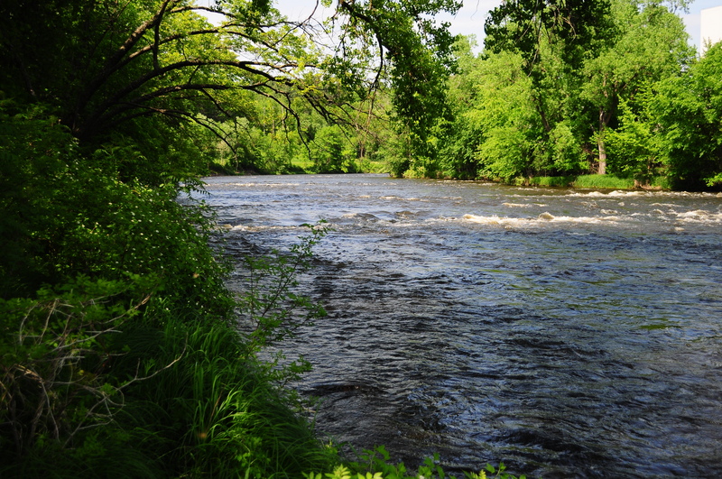
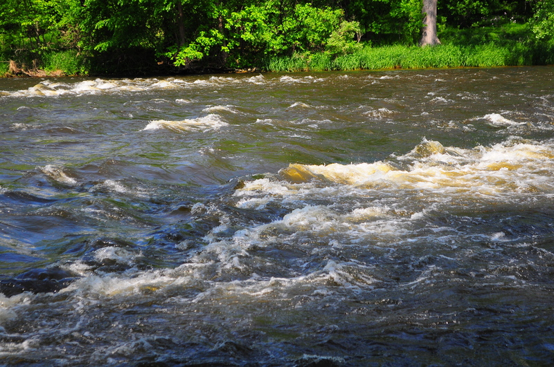
This wide river has a few boulder-bed rapids in the first mile below a dam. Serious whitewater paddlers will likely just concentrate on that stretch, while canoists and recreational kayakers are likely to enjoy the full run as listed here. One of the best features of the run is a wonderful biking trail which parallels the river throughout the reach, thus can be done as a 'biathalon', paddling the river and biking your shuttle!

Leading under a railroad you'll find a rocky boulder-garden rapids. At some flows, you may find some playable features across the width of this area.
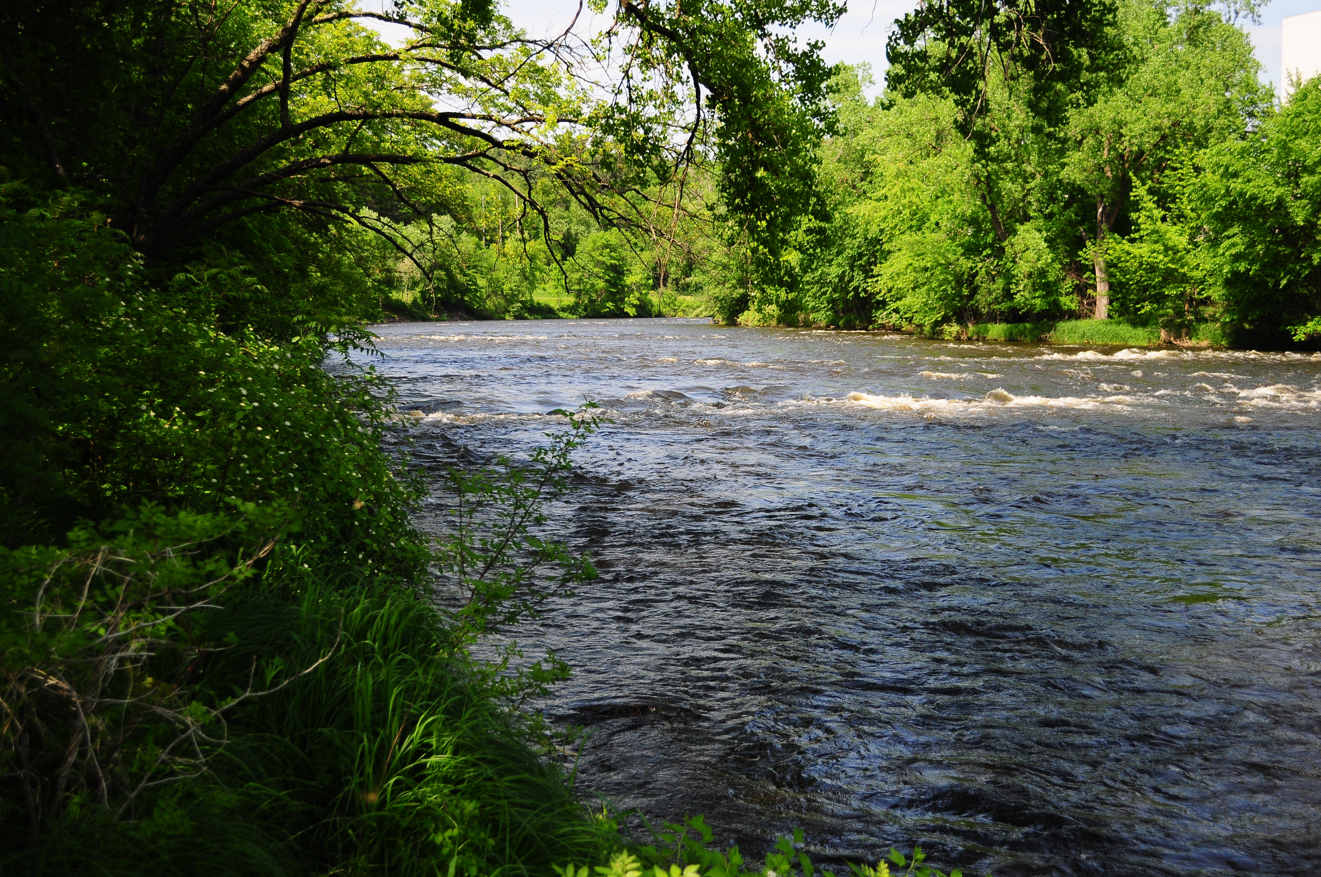
Named for the Con-Agra/Swiss-miss plant (river-left, on River Road and 1st Avenue West), a center-river wave may offer some play at certain flows. There may also be a ledge/wave to river-right.
The next wave (more to river-left) is named for a lumber-baron's family which features very prominently in the city's history. (Numerous buildings bear the names of family members.)
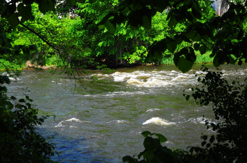
This final potentially significant wave sits to river-right. The name is not to suggest that this is bigger nor more robust than the others. Rather, it is a tribute to James Huff Stout, another lumber baron (of the Knapp-Stout lumber company), founder of Stout University ('the only institution in the UW System named for an individual'), civic leader, and state legislator.
Serious whitewater boaters doing this stretch as a park-and-play (PnP) will likely take out as soon as convenient after this wave to carry back to their vehicle.
Since the only real whitewater is in the first half-mile, playboaters will probably shorten their trip by taking out here (or possibly even working out access points for shorter PnP opportunity as mentioned in the prior entry) and walking back to their vehicle.
Jun 3, 2011
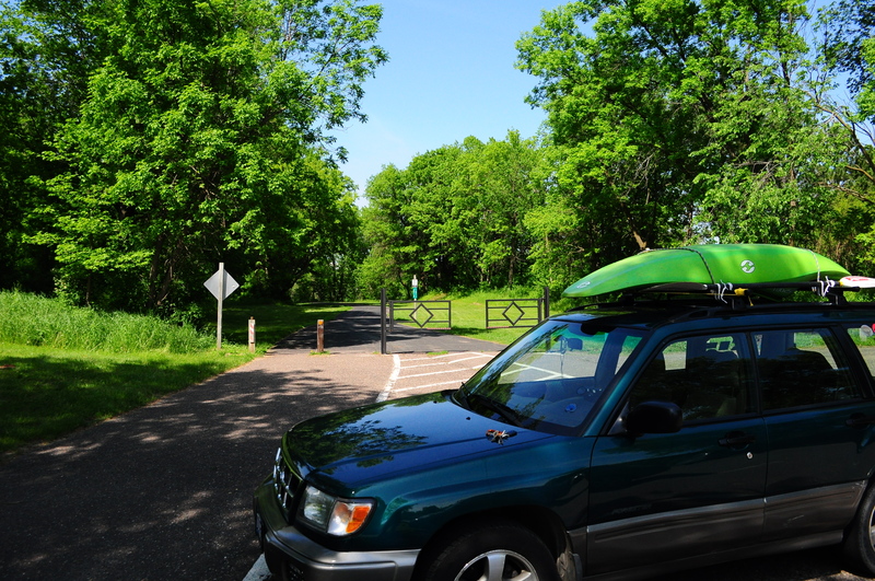
This is the put in right next to the large bridge that goes over the Red