Baker, S. Branch
Rocky Branch to Rowentown Rd.(Dorchester)
| Difficulty | V |
| Length | 3.1 mi |
| Avg Gradient | 130 fpm |
| Gauge | Baker River Near Rumney, Nh |
| Flow Rate as of 1 hour | 0.40 ftbelow recommended |
| Reach Info Last Updated | June 28, 2023 |
Information from Greg and Sue Hanlon's Steep Creeks of New England, which has more info on this run. Text used with permission.
The run begins on Rocky Brook.
Posted by Dan Holzman on the MVP message board 3/30/03
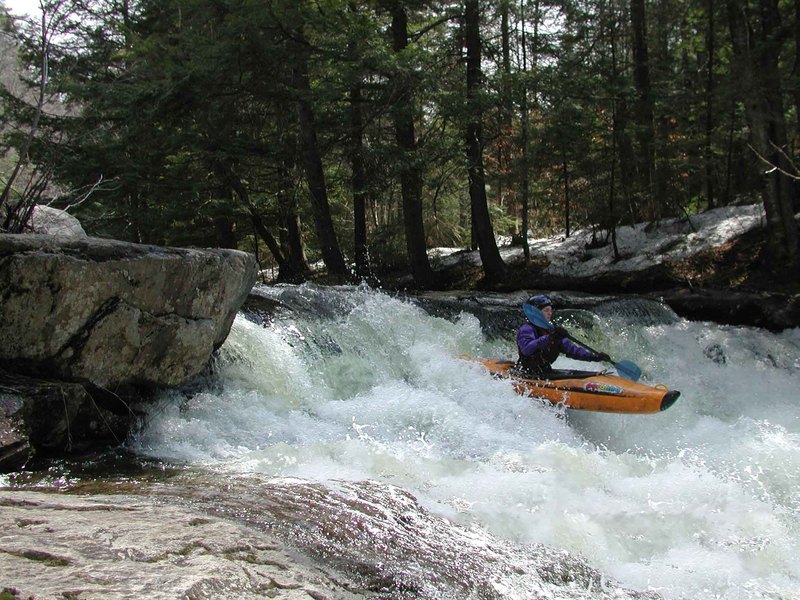
The group put in at Rocky Branch. Class 3 or less until just above confluence with the South Branch of the Baker, which is about 1 mile down, where the action picks up. Several tight slot drops, apparently one caused several enders. Cannibal Falls is about 200 yards downstream of the confluence, described by the group as a Class-4 approach to several really narrow slots dropping at least 20 feet onto a flat rock. The group portaged, unclear on how this drop is run (according to Steep Creeks, Willy Kern was the first to run this drop years ago).
The rest of the South Branch apparently has a big-water feel, lots of gradient, much more water than Pond Brook, large holes to avoid. There is a series of ledges about 2 miles into the run, including a 40-foot slide with a 10-foot falls at the bottom, I got several nice pictures there.
Beta on South Branch: Cannibal Falls looks really nasty; let me know if there is a hidden line. Difficulty seems to be comparable to West Branch of Deerfield, bigger water run.
Info from Jake Risch/Elijah Sobel (6/27/2023): Ran South branch baker today at around 2.2ft and it is still chalk full of wood. At low flow you can sneak or duck all of it, but at higher flows it would become an issue. Most of it is above Cannibal Falls.
Directions to TakeOut: I-93 to Rte. 25 West (Exit 26). Head 7.8 miles past the rotary at the Rte. 3A junction to South Wentworth Road (just past the NH 118 intersection). Take a left onto S. Wentworth Rd. 1.6 miles to a fork; bear right onto Rowentown
...Apr 14, 2013
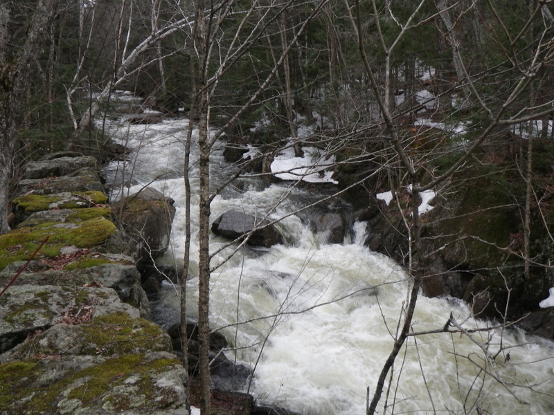
April 14, 2013 at 2.45' level there was no new or significant wood throughout the run. The landings off Cannibal Falls had: a minor rock bump going off the R-side, vertical plug off the center went deep without consequence, and boofing off L-corner was flat and fluffy. The L-side holes at 'triple drop,' just above the 'Swimming Hole' takeout, were deep and sticky at 2.45'.
Apr 22, 2011
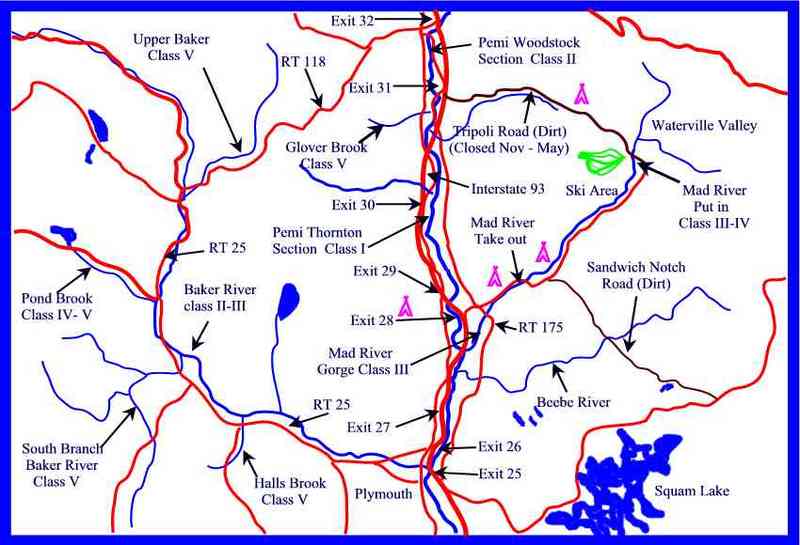
Looking up from bottom of the Rapid.
Jan 1, 1900
When water levels are low, start on the South Branch rather than on Rocky Brook. This drop is about 1 mile below the put-in on the South Branch, just above the confluence with Rocky Branch.
Cannibal Falls is just downstream of the confluence of the Rocky Branch and the South Branch. The landing has a very narrow zone - to the right you break your ankle, to the left - well, we don't want to talk about that. Worse, the approach is tricky class 4, with a large swirly eddy just above the falls, waiting to send you off line. Apparently first run by Willy Kern years ago. No one in our group had the moxie to follow his lead.