Peabody, W. Br.
Chandler Brook (Great Gulf Wilderness) to Peabody R.(Thompson & Meserves Purchase (Mt. Washington))
| Difficulty | V |
| Length | 4.2 mi |
| Avg Gradient | 325 fpm |
| Gauge | Peabody River at Gorham, New Hampshire |
| Flow Rate as of 36 minutes | 27 cfsbelow recommended |
| Reach Info Last Updated | May 4, 2018 |
The gauge is new. The flow range is an estimate based on the 75th percentile. If you run this section please leave a comment with more flow beta.
From a comment left in 2007:
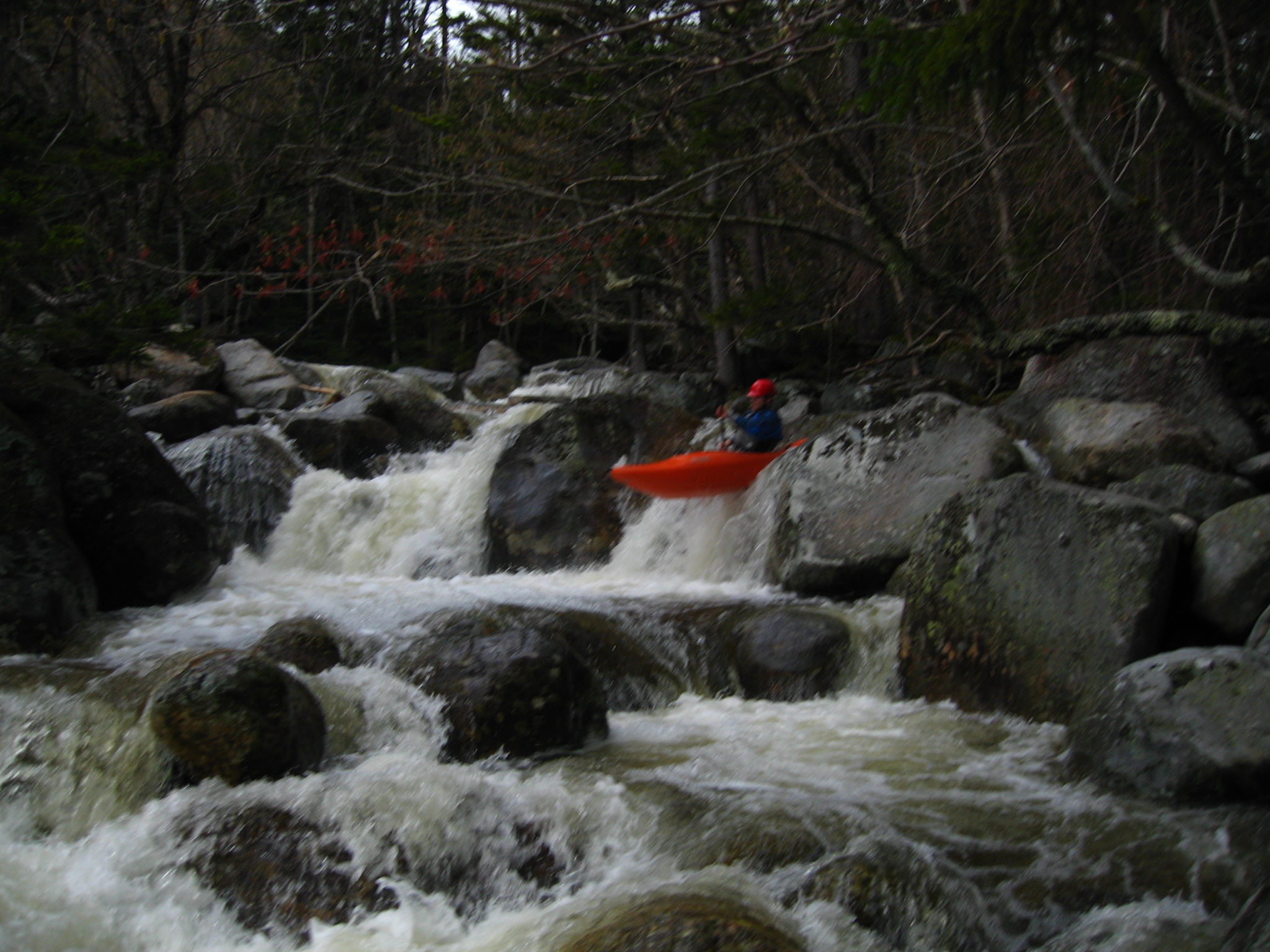
'Ben Holzman and Brad Krodo ran this river at a medium level, and portaged approximately 1/3 of the run. These are two very good boaters, and they had relatively few problems, but the history of this run and the description makes it one of the most extreme runs in New England. Definitely not for the faint of heart, this is 5.3 boating. Gradient is something like 500 feet per mile, continuous. There is a trail alongside the run. Based on the difficulty of the put in from the Mount Washington Auto Road, consider the option of carrying up alongside the trail. Kind of like Johns Brook in the Adirondacks.'
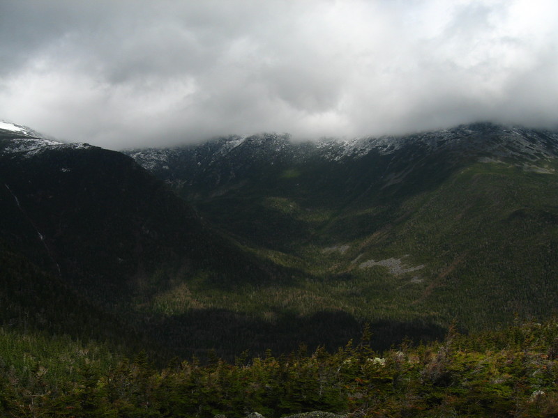
See the article in the Sept-Oct 2010 AW Journal. Not only does this have very high gradient (1430 feet in 4.4 miles, for an average of 325 ft/mi), but its boulder-choked nature means that there's a pin spot around every corner. The run is also remote. Whether carrying in 0.9 miles from the Mt. Washington Auto Road, or carrying up 4.4 miles from the confluence with the East Branch, you are far from civilization and any assistance.
The season is short; the Auto Road doesn't open until late Spring, and snowmelt stops soon thereafter. Hiking 1300 vertical feet down from the Chandler Brook trailhead on the Auto Road means 2.5 hours of post-holing in deep snow complicated by dense spruce thickets and large granite boulders.
It's not uncommon for this to be an overnight run. The article linked above describes a one-day trip; the team began hiking down from the Auto Road at 8 AM and weren't finished with the run until 6 PM--surely a long day of humping boats around obstac
...