Eleven Point
Highway 19 to Highway 160 (19 miles)
| Difficulty | I |
| Length | 19.8 mi |
| Avg Gradient | n/a |
| Gauge | Eleven Point River Near Bardley, Mo |
| Flow Rate as of 1 hour | 463 cfsrunnable |
| Reach Info Last Updated | May 20, 2007 |
Barry Joyce shared:
While the Eleven Point would barely rate as a whitewater river, it has enough shoals and fast water to make this a top summertime and float/camp destination.
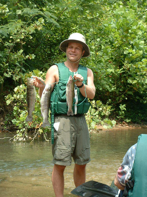
The normal float, from Greer to Riverton, 19 miles, usually requires you to camp and that discourages many of the obnoxious party paddlers. Along the way, there are several maintained 'float camps'. Gravel bars are not plentiful, so the early bird gets the worm. Scenery is clean, clear and never tiring, trout fishing is good, producing big trout, and the river serves up numerous rocky shoals with nice waves and chutes. Crystal-clear water, coming mainly from Missouri's 2nd largest spring, Greer Spring, is especially cold for several miles. So this river is really nice for those 90+ degree Summer days. Find a rope swing ... I'm telling you, this is a great American float that is not that well known!
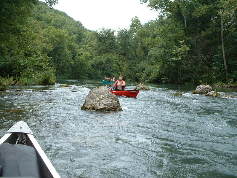
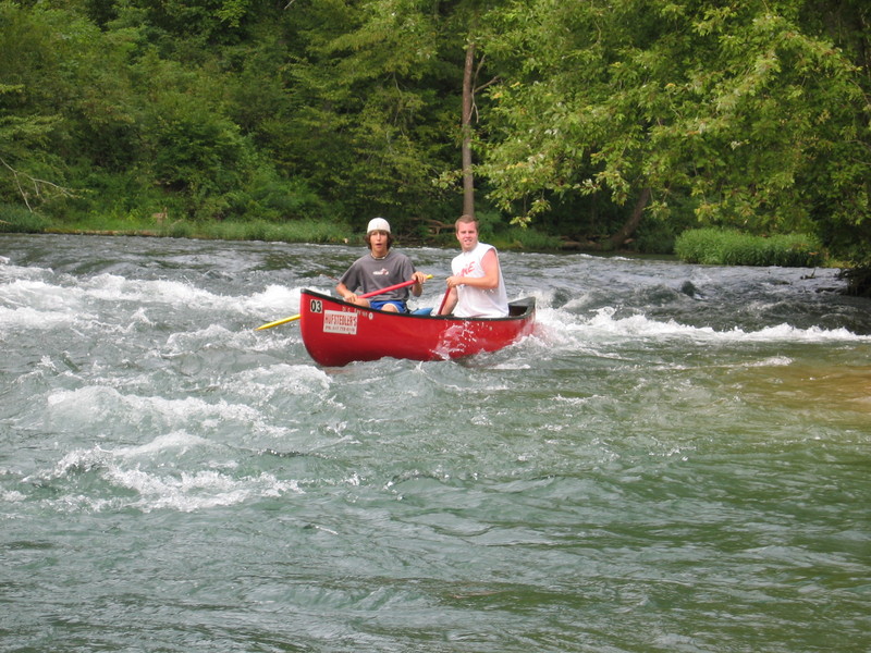
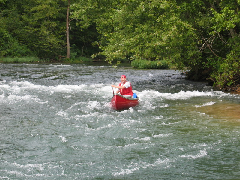
Couple of easy class 2's (Mary Decker Chute and Riverton Rapids), numerous other fun shoals.
The hike to Greer is very rewarding, other springs also (Boze Mill), these are lovely springs. Floating, camping, fishing, hiking, even some caves (See Whites Creek Cave pic).
Missouri Scenic Rivers Resource Website has detailed maps and descriptions.
A Canoeing & Kayaking Guide to the Ozarks (formerly Ozark Whitewater) by Tom Kennon (3rd edition, Menasha Ridge Press) has a good description of the run.
A Paddler's Guide to Missouri (Missouri Department of Conservation, 2003), an updated version of Missouri Ozark Waterways by Oz
...
This access point on river left has a launch ramp for trailered boats and a separated launch area for hand-carry watercraft. An adjacent camgpround provides a convenient camping option. The site is administered by Mark Twain National Forest.
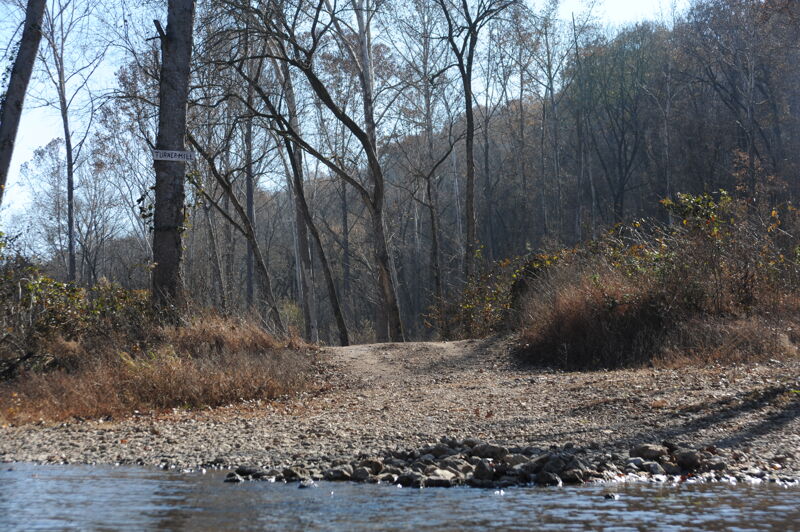
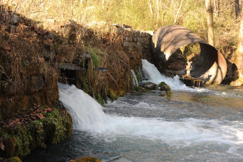
This is a day-use site administered by Mark Twain National Forest at the site of the old Turner Mill. Turner Spring, which has a 1.5-million-gallon average daily flow, flows from a high rocky bluff and was used to power a 25ft metal mill.
Turner Mill South is located on the right bank. This access is rustic in nature and offers limited dispersed campsites, limited day use area, a single-lane concrete boat launch, and toilet facilities.
The Whitten River Access is located on river right. This is a popular launch and take out site on the river. There is a vault toilet and single-lane concrete boat ramp located at this access site. This is a popular day float with visitors travelling downriver 8 miles from Whitten to Riverton. Visitors also enjoy the 11 mile float from Greer downriver to Whitten. The site can get busy on weekends with both motorized and nonmotorized users. It is administered by Mark Twain National Forest.
Boze Mill Float Camp, located on the Eleven Point National Scenic River on river left, can be accessed from the river or down a short path from a parking area. Boze Mill Spring forms a sparkling blue pool which produces between 12-14 million gallons of water per day. Aquatic plants add many shades of green to the spring branch. The historical 1880’s turbine and hand-layered rock wall from the Lucas Boze grist mill still exist today. Boze Mill is nestled in a beautiful glen beside the Eleven Point River just above Riverton, and was once an important center of commerce where farmers could get wheat and corn ground into flour. This is a popular stopping point for people canoeing on the Eleven Point River.
The take out is on river left with a ramp for trailered boats and an adjacent beach for hand-carry watercraft. The site is administered by Mark Twain National Forest.
Nov 16, 2019
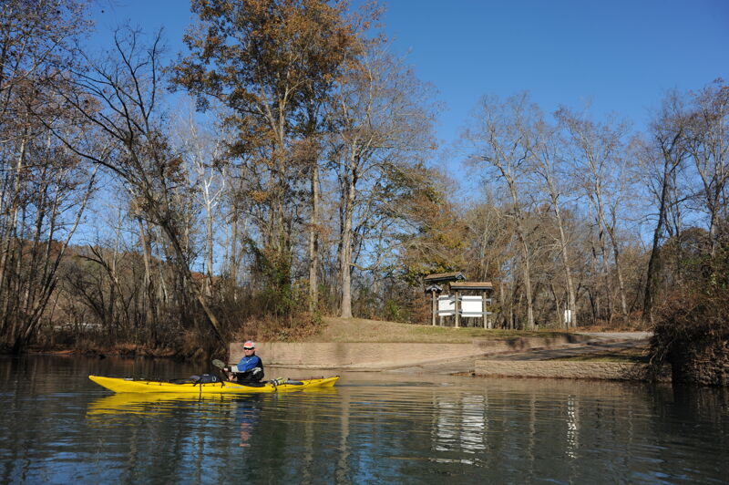
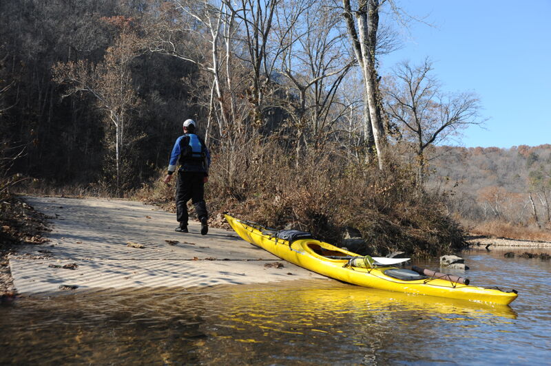
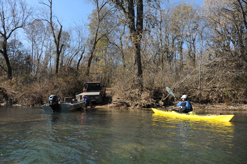
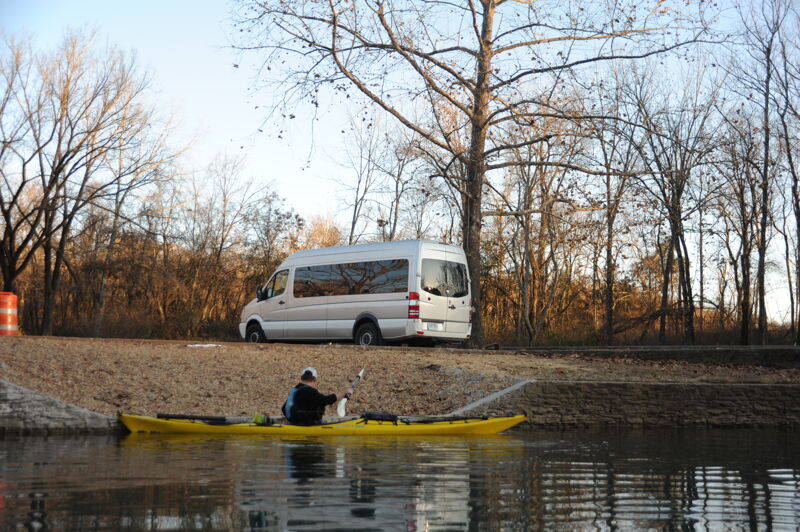
A beautiful fall day on the Elevent Point River. We camped at Greer the night before launching and then paddled the full stretch from Greer down to Riverton.
Jun 14, 2009
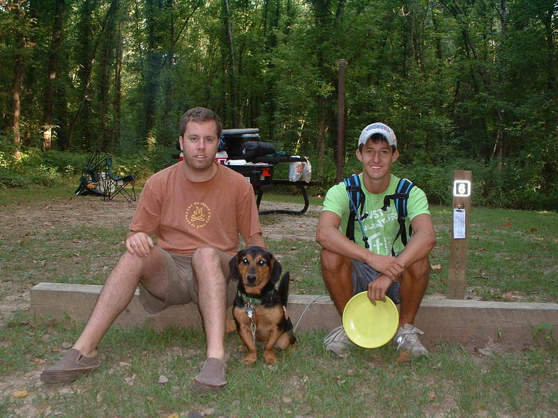
At Greer Campground, preparing to load canoes and canoe/camp on the Eleven Point National Scenic River. This is Britt's first canoe trip. He is excited. Of course Britt is excited about everything. We decided on day 2 of float he was better off without his lifejacket. He went swimming in a swift shoal, and survived just fine with the help of Ben, his rescuer !
Jun 14, 2009
At Greer Campground, preparing to load canoes and canoe/camp on the Eleven Point National Scenic River. This is Britt's first canoe trip. He is excited. Of course Britt is excited about everything. We decided on day 2 of float he was better off without his lifejacket. He went swimming in a swift shoal, and survived just fine with the help of Ben, his rescuer !
Jul 15, 2005
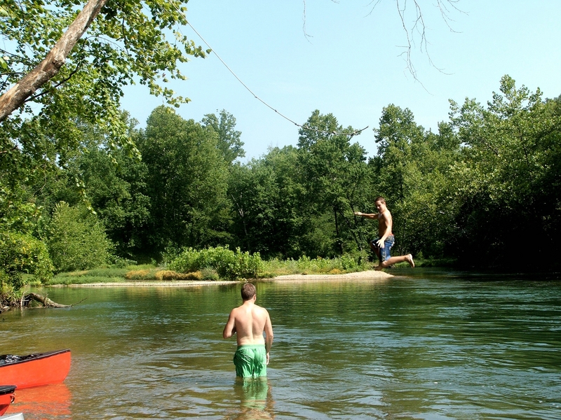
Hard to beat a rope swing, cold water on a hot summer day in August !
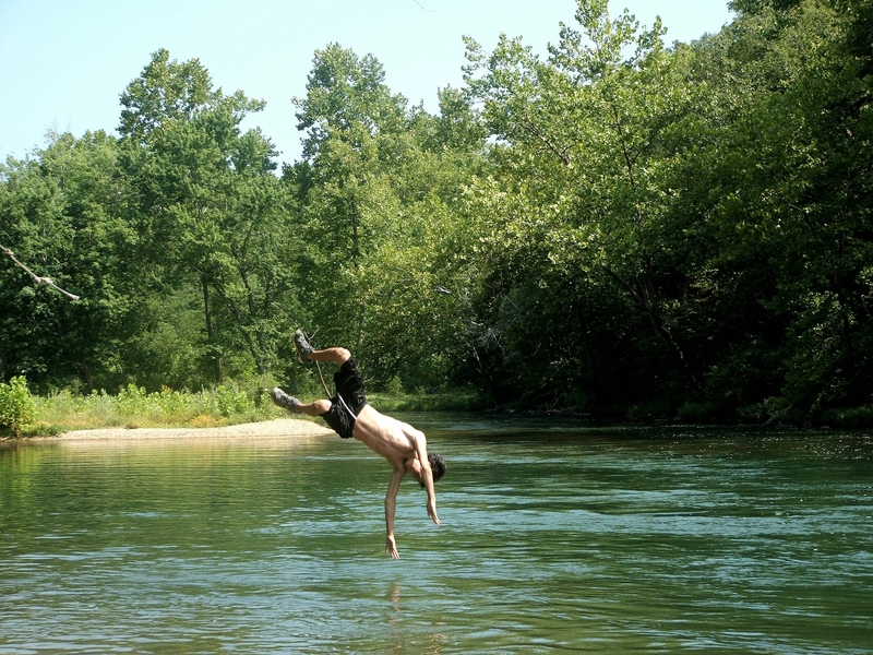
Andrew won the diving contest this day !!
Brian on the rope swing, 11Point R, MO. Cold water - Hot Day ...summetime fun !!
John - Whitewater veteren and volunteer trip photographer... and a good one at that !
Aug 15, 2004
Riverton rapids, close to the end of the trip, are the best on the river
Whites Creek Cave is a very large cave near one of the 11 Points Float camps
Boze Mill, beautiful deep typical Mo spring, shortly before the Riverton Rapids near Riverton takeout
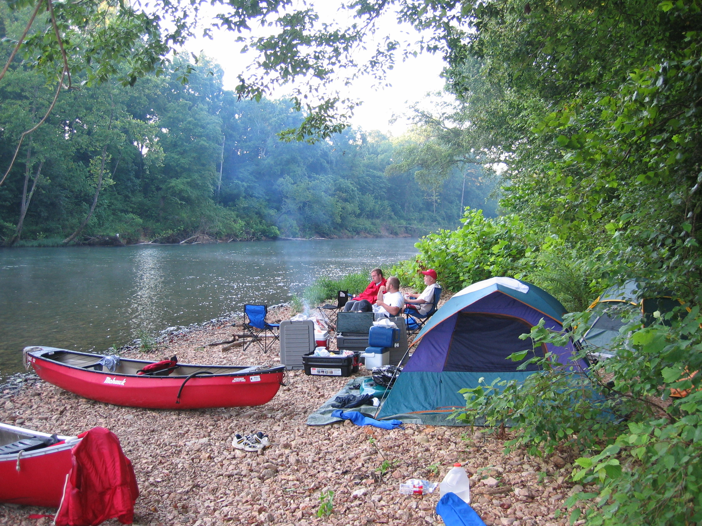
Early morning camp on the Eleven Point National Scenic River
Riverton rapids near Riverton takeout on the National Scenic Eleven Point River, MO