| Difficulty | II(III) |
| Length | 10.1 mi |
| Avg Gradient | 19 fpm |
| Gauge | Middle Fork of Little Red River at Shirley, Ar |
| Flow Rate as of 1 hour | 5.59 ftbelow recommended |
| Reach Info Last Updated | February 22, 2010 |
River Description
Per Tom Kaylor:
This is a very scenic stream, it's hard to catch without a reliable internet gauge. A good place to take aggressive beginners if they have basic eddy hopping-ferrying skills and have a roll.
Many high rock bluffs, 90 degree turns and mostly class II stuff. Some places are no more than 10' wide and there is one dog leg turn that Tom Kennon rated as a Class III (not compared to class III on the Ocoee though).
It's very remote and walking out may be difficult. Watch for downed trees around the bends. A heron rookery on the left about midway and some huge boulders is good place for a lunch stop.
About 2 miles below the put-in is a Girl Scout camp that anyone having problems can get out. Beyond that, there is no convenient way to make this run any shorter so be sure all paddlers can handle 10 miles.
This is actually the closest real whitewater to Memphis (115 miles) You will have to rely on posts on the Arkansas Canoe Club message board for level info.
River Features
Put In
Access PointDistance: 0 mi
Take Out
Access PointDistance: 10 mi
Trip Reports
Log in to add a report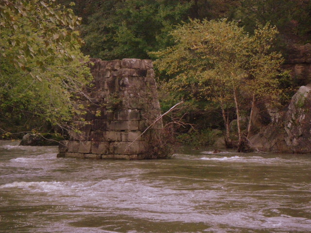
TK
Tom Kaylor
Apr 16, 2007
Use USGS gauges for the Salado.
Minimum levels but rising should yield 10.5 stones or higher. Middle Fork of the Little Red at Shirley 8.0' Little Red at Judsonia 8.5' Strawberry at Poughkeepsie 3.5'
Try 8.4'-9.6' at MFLR @ Shirley + rain near Pleasant Plains for a good level. Keep in mind that 'leaf on' season will soak up water quick.