| Difficulty | IV-V+ |
| Length | 14.4 mi |
| Avg Gradient | 113 fpm |
| Gauge | Mf Stanislaus R Bl Sandbar Div Dam |
| Flow Rate as of 31 days | 191 cfsstale data |
| Reach Info Last Updated | June 18, 2018 |
River Description
Boatable flows only occur in this reach during spring high flows when the capacity of the diversion is exceeded.
This section of river is solid class V/V+ with pushy water, big hydraulics, small eddies sieves and portages.
Be cautious because the dam operators can change the flow quickly and unpredictably either higher or lower.
Begin by paddling across the pool above the Sandbar Diversion Dam. Portage around the dam on river right and continue portaging down until your group feels comfortable putting on. The river starts with a bag and is very continuous so make sure you are ready or trouble could occur at the start.
The upper part of the run is also choked full of living trees, some in the middle of the river providing another hazard in some spots. The live trees clean up as you go down river until they disappear. If you can not see the bottom of a drop or the next eddy get out and scout. Some drops lead quickly into portages. All portages can be done at river level varying from river left to right but the majority are on river left.
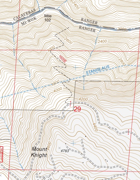
After a few portages, the middle section (Below Mt Knight) of the river tones down a small bit and cleans up to create some nice rapids. It then gets hard again before reaching the Camp 9 Powerhouse so don't drop your guard and blunder into something.
Consider this a solid step harder but with similar characteristics to Cherry Proper (Tuolumne) section.
Note
The Holbeck and Stanley book (A Guide to the best whitewater in the state of California) divide the reach into two distinct sections. From Sand Bar Dam to a trail below Mt Knight (6 miles) and then from Mt. Knight tail to the Camp 9 Powerhouse (8 miles). This trail is shown on topo maps but has not been maintained and is NOT in existence any more. Even if it was, it would be a steep 2200 vertical feet elevation up or down in 1.2 miles. They also list the lower section as the harder section and most boaters agree t
...River Features
Put In
Access PointDistance: 0 mi
Take Out
Access PointDistance: 14 mi