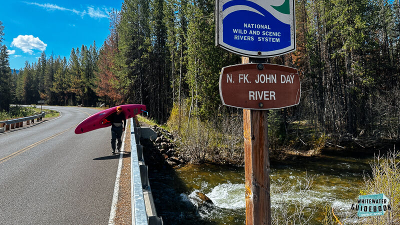
John Day, N. Fork
1. Route 52 Bridge to Dale
| Difficulty | II-IV(V) |
| Length | 43 mi |
| Avg Gradient | n/a |
| Gauge | North Fork John Day River at Monument, or |
| Flow Rate as of 16 minutes | 59 cfsbelow recommended |
| Reach Info Last Updated | March 2, 2023 |
This is a beautiful, wild, and very rarely run stretch of river starting high in the Elkhorn Mountains and dropping 2400 feet over its 41 mile course to Dale. The run is situated almost entirely in a designated wilderness area that is remote and rarely visited. The drive to the put in is magnificent in its own right.
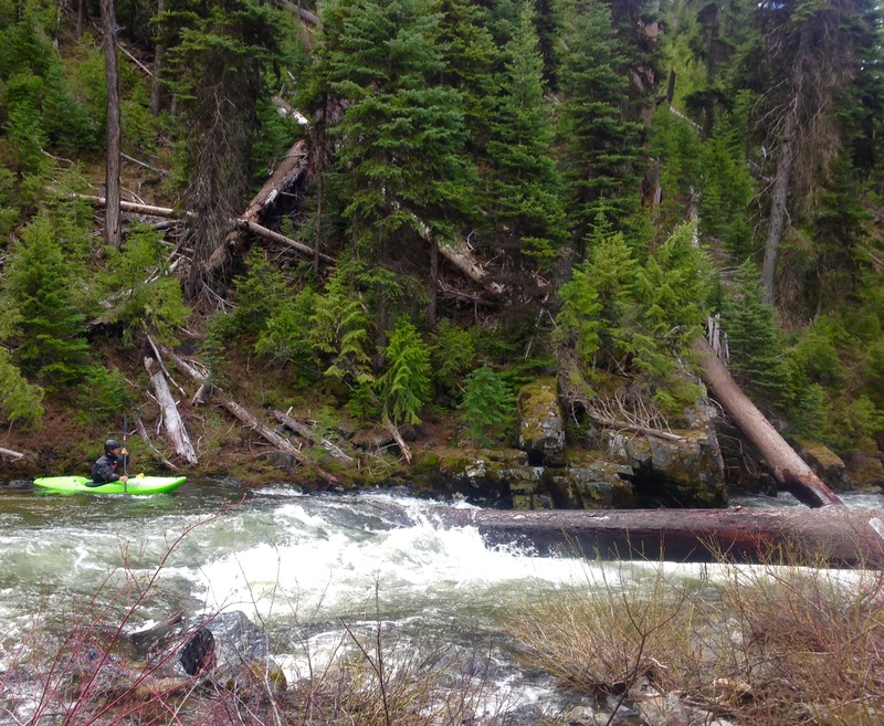
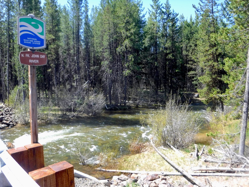
The run starts where NF route 52 crosses the North Fork of the John Day river at river mile 101. In the first mile of this run the river is a crystal clear, broad, shallow, fast flowing stream. At river mile 100 the stream narrows and the gradient increases as it plunges down a steep gorge section with an average gradient of over 150 feet per mile for the next two miles. This section is devoid of eddies and there are frequent river-wide blockages due to fallen trees. Fortunately, a trail parallels the river on river right, greatly simplifying the task of scouting and portaging. This section of river is difficult to negotiate.
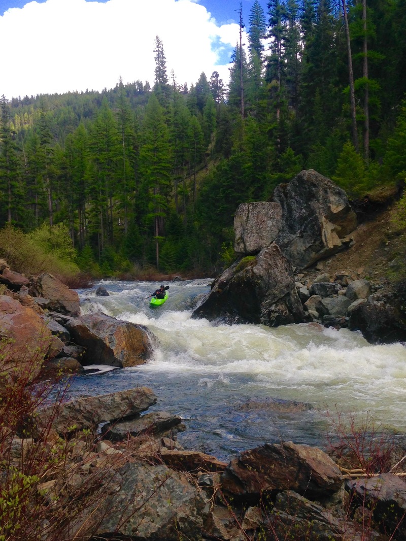
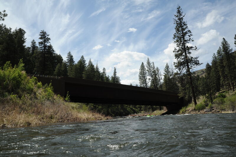
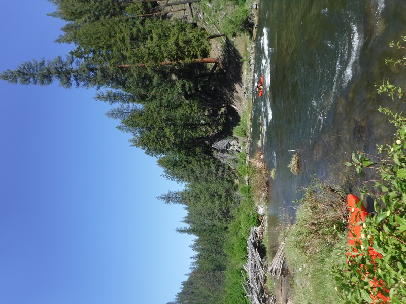
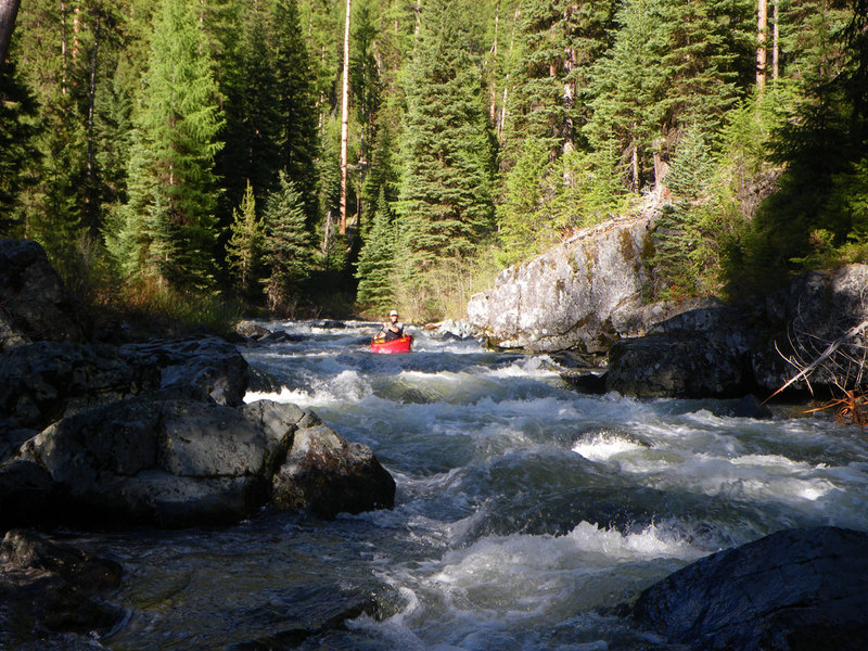
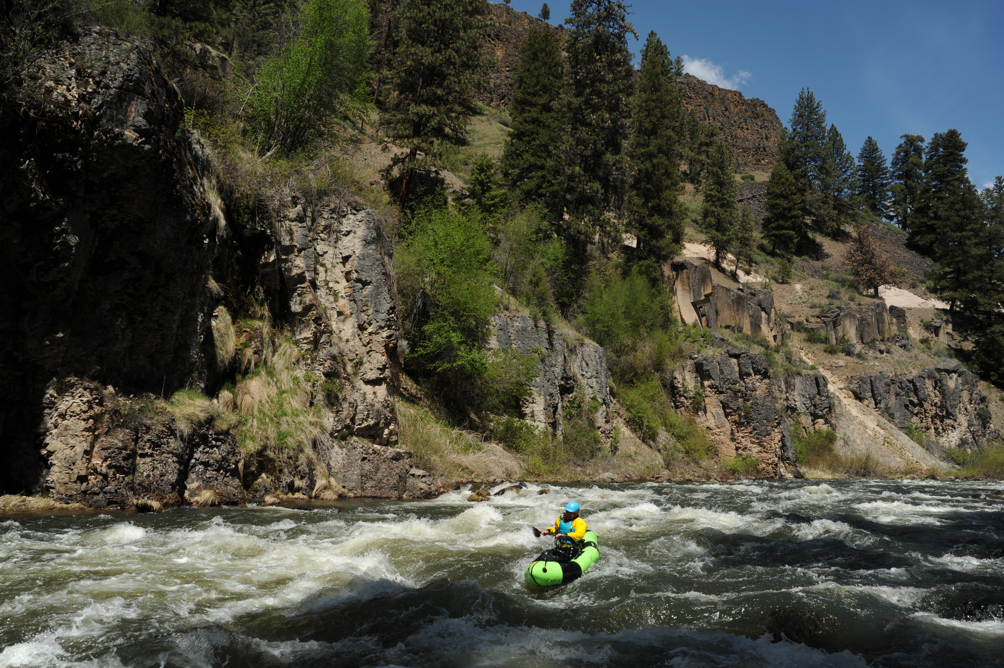
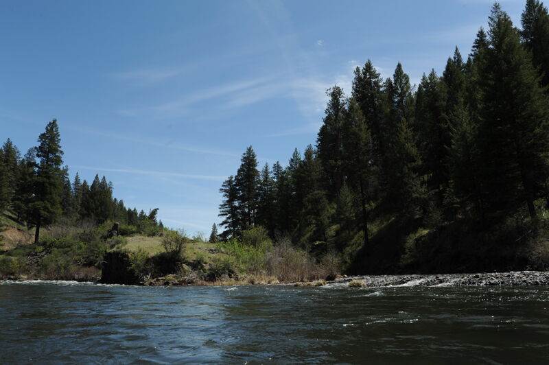
At river mile 98 the gorge opens out, the river widens slightly and the gradient decreases to around 100 feet per mile. Eddies are scarce and log jams are frequent. Over the next 15 miles the river is swift and technical with miles of continuous class III whitewater punctuated by the occasional river wide blockage or short class III+ or IV drop. The average gradient is around 90 feet per mile until river mile 85. The river canyon is rugged and beautiful and the surrounding scenery is spectacular.
At river mile 87.5 the Granite Creek Pack Bridge crosses the river and Granite Creek enters on river left, doubling the river's flow. Shortly downstream the river squeezes into a 10 foot wide slot and plunges over Granite Falls (class V). This section can be portaged using the trail on river right. If flows are high, it is worth hiking down from this bridge to scout out a closer eddy just above Granite Falls on the right.
Below the falls there are a couple of miles of exhilarating whitewater with numerous c
...This 3.4 mile trail begins at Granite Creek Trailhead and ends with its junction with the North Fork John Day River Trail #3022. A large section of the Granite Creek Trail is located within the North Fork John Day Wilderness. This trailhead can be used as an access to Granite Creek and an alternate entry point to the North Fork John Day bypassing the upper reaches that tend to have more wood hazards.
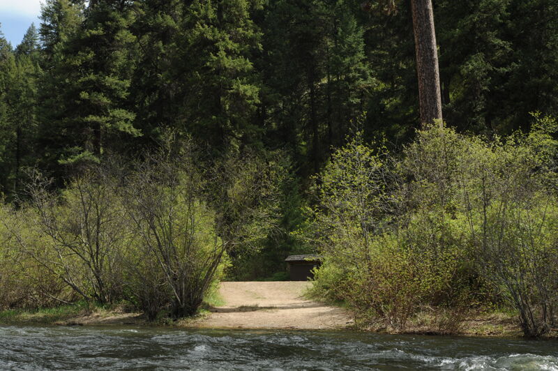
The North Fork John Day Campground is located to the north side of the bridge. It features 20 campsites, 3 accessible toilet facilities, and stock handling facilities. There is no potable water or garbage service. It serves as the eastern access to the North Fork John Day Wilderness. The North Fork John Day Trailhead is also located here; it represents the eastern end of the 22.9 mile North Fork John Day River Trail (#3022) that follows river right through the North Fork John Day Wilderness to Oriental Creek Trailhead.
Identified by the Granite Creek Pack Bridge that crosses the North Fork John Day, Granite Creek enters from river left and doubles the flow. Granite Creek can be run and serves as an alternate entry point to the North Fork John Day.
This fairly secluded campground is near the end of Forest Road 5506 along the Wild and Scenic North Fork John Day River. It features 8 campsites and 2 accessible toilets. There is no potable water or garbage service. The Oriental Creek Trailhead is also located here; it represents the western terminus of the 22.9 mile North Fork John Day River Trail (#3022) that follows river right through the North Fork John Day Wilderness.
This is a small campground just off Highway 395 along the confluence of Desolation Creek and the North Fork John Day River. Tollbridge features 5 campsties and an accessible toilet. There is also a sign interpreting the geology of the area. There is no potable water or garbage service.
Accesss just upstream of where Haden Creek joins the North Fork John Day. A gravel ramp provides an access to the river on river left (opposite side of the river from Highway 395 that parallels the river in this section.
May 27, 2024
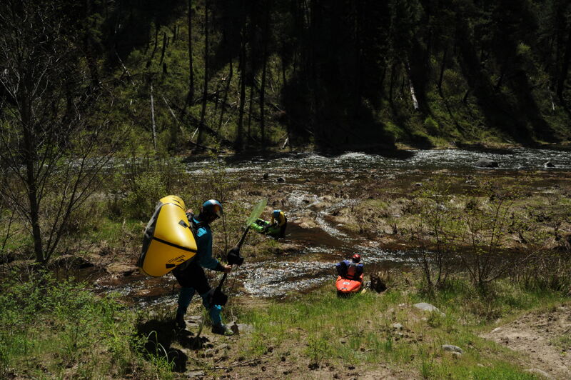
Amazing river. I did it 5-27-24 and the flow was 2300. I think the flow was perfect because I had a lot of control. Very dangerous, it was all whitewater until a little bit after the class five spot. Starting at the campground, it took me 3.5 hours to get to the class five spot. There were 5 spots where a tree blocked the entire river and you have to get out and go around. All 5 of the tree spots were about 2 to 3 miles up river from the class five spot. This is a rough estimate of couse. Very noticable difference when the two rivers join at the class five spot. The river now has more volume to it. More volume = more power. Eventhough the river is much wider and faster at this point, the river is not as steep. If you want a challenge, you got it with this river. Amazing beauty, wild and senic.
Jun 1, 2023
This is a really cool and beautiful section of river worth doing - especially if you like scenery, solitute, and challenge. It's incredibly continuous and has a good amount of wood requring Class IV-V skills. If there was no wood a confident Class IV boater would have a good time but being on red alert all the time takes a toll.
Here's a descrioption I wrote: Upper North Fork John Day Description
May 18, 2021
We came with intent to do this run on May 13th but were informed the Forest Road 52 out of Ukiah (the preferred route on the north side of the river) and Forest Road 10 (alternate route on the south side of the river also accessing Granite Creek access) were still snowed in. Tollgate Campground was a good place to meet and spend the night--just two groups of boaters in the campground on a Wednesday evening. We arranged a drive with the Dale Store to take us up to Oriental Campground and boated the segment from the campground and continued on down the run on the Dale to Monument run. In a future year we might try hiking up from the bottom with packrafts. The Forest Service said the river corridor itself was free of snow but the roads go up over elevation through areas of snow. The section from Oriental Campground down to Dale was mostly class II with no major wood hazards. A short basalt gorge, just over a mile downstream of Driftwood Campground, had some fun class III whitewater.