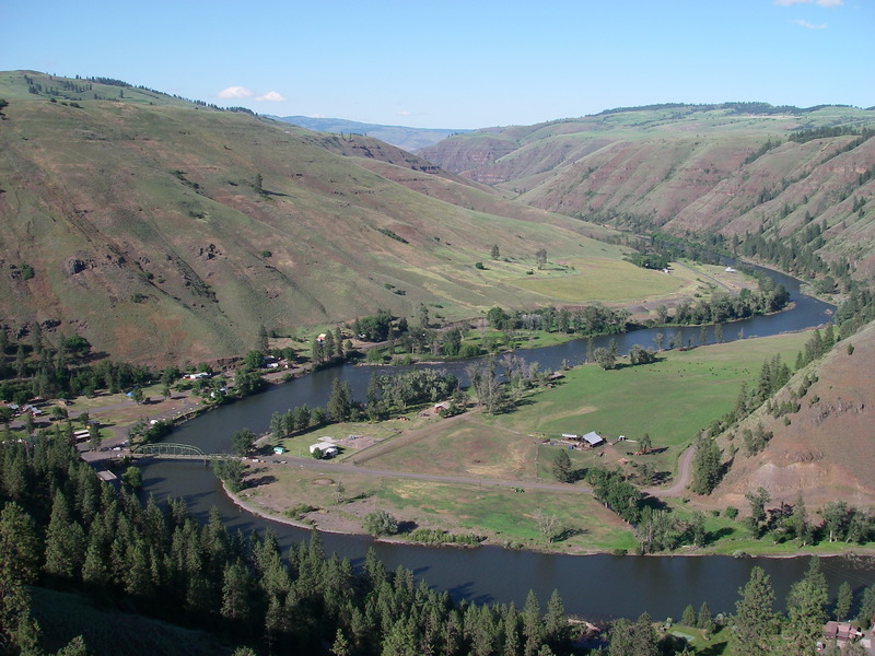
Grande Ronde
G. Troy to Boggan's Oasis (Troy to Boggan's Oasis)

| Difficulty | II-III |
| Length | 19.5 mi |
| Avg Gradient | n/a |
| Gauge | Grande Ronde River at Troy, or |
| Flow Rate as of 23 minutes | 462 cfsbelow recommended |
| Reach Info Last Updated | June 4, 2019 |
The National Conservation Lands—a 26-million-acre collection of national monuments, wilderness areas, wild and scenic rivers, trails, and historic sites—are managed by the Bureau of Land Management (BLM) to conserve some of the most treasured landscapes in the American West. Established administratively by the BLM in 2000 and made permanent [...]Read More
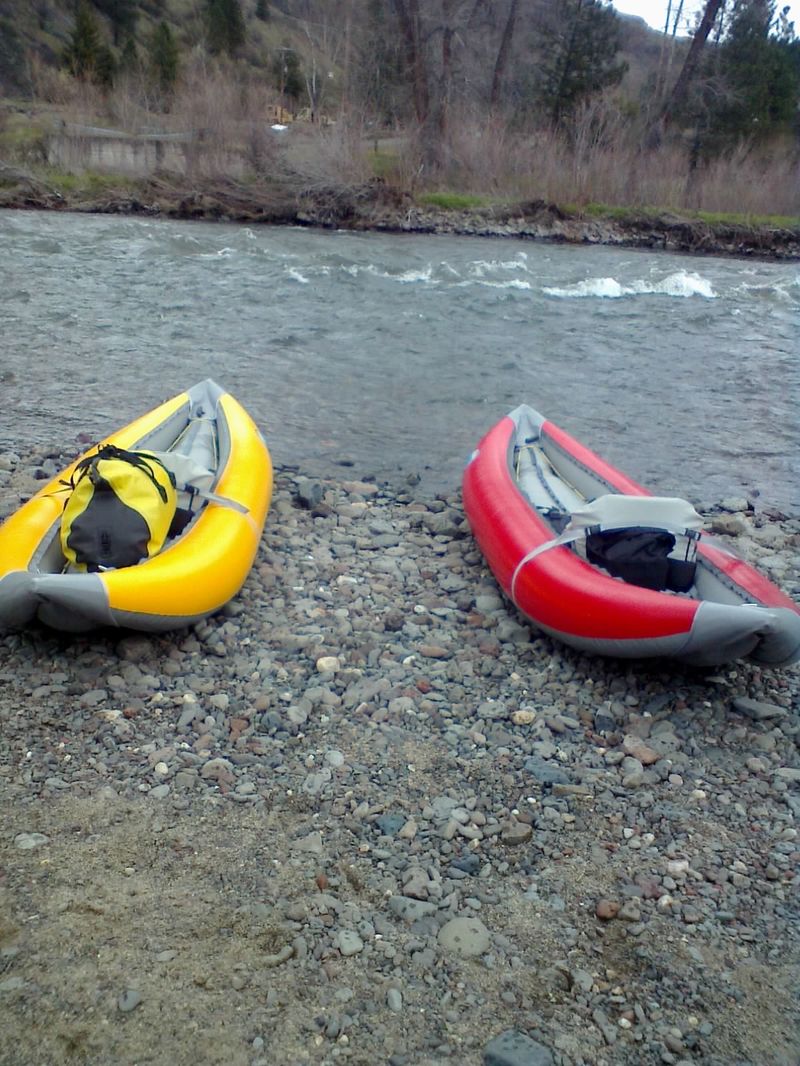
17fpm, HAZARDS: keepers, strainers