Deer Creek
Confluence with North Fork of Deer Creek to confluence with Greenbrier River near Cass

Jun 23, 2020
very scenic class II trip, I enjoy combining this run with a cass to cloverlick greenbrier run since there is not a good piblic takeout at Cass. If you put in on the north fork of deer (the bridge near a church on outskirts of greenbank) you will encounter an agricultural valley that has two cattle fences and a low head ford road, so figure 3 portages in the first mile. If you put in off of 66 (road to Cass) you miss those portages but will still have one portage (below hardware/cement store) where the creek splits and enters a grove of hemlocks. This is due to downed trees. I think the next time I float I'm going to try the left channel because the portage looks easier although the right is not difficult but does involve wading with the boat.
May 5, 2009
Has anyone had any experience on this creek before? I'm familiar with the area (I lived on the other side of Back Allegheny Mountain from Cass for 3 years) and the roads, but not familiar with the put in and take-out points. Looking to go in July of '08 so any help would be appreciated.
Put in would be where Deer Creek crosses Rt 66 < 1/2 mile from Rt 92 / 66 intersection. Park on the south side of the road. Upstream of Rt 66 there is a landowner reputed to be hostile to boaters/trespassers, so I'm told. Also, be wary of strainers from blow down and beaver dams in the first mile.
Take-out can be in the Rail Trail parking lot on the West side of Cass. Just paddle across the Greenbrier and downstream to where a tiny creek flows in and walk up it to the parking lot. Of course, you can always extend the trip by paddling down to Stilington or Clover Lick.
I may paddle it this week (5/5/09) if the water holds.
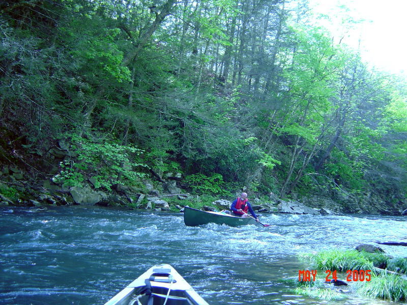
May 23, 2005
Durbin was2.4 or 500 cfs
This was near canoe 0
there is an RC gauge at the rt.66 bridge that read 1.0