Deer Creek
Confluence with North Fork of Deer Creek to confluence with Greenbrier River near Cass
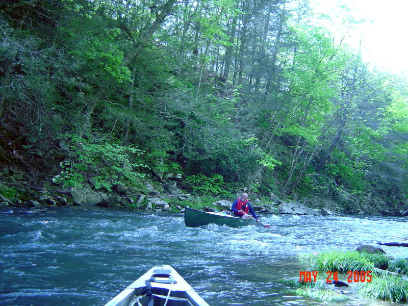
May 5, 2009
| Reporter |
Has anyone had any experience on this creek before? I'm familiar with the area (I lived on the other side of Back Allegheny Mountain from Cass for 3 years) and the roads, but not familiar with the put in and take-out points. Looking to go in July of '08 so any help would be appreciated.
Put in would be where Deer Creek crosses Rt 66 < 1/2 mile from Rt 92 / 66 intersection. Park on the south side of the road. Upstream of Rt 66 there is a landowner reputed to be hostile to boaters/trespassers, so I'm told. Also, be wary of strainers from blow down and beaver dams in the first mile.
Take-out can be in the Rail Trail parking lot on the West side of Cass. Just paddle across the Greenbrier and downstream to where a tiny creek flows in and walk up it to the parking lot. Of course, you can always extend the trip by paddling down to Stilington or Clover Lick.
I may paddle it this week (5/5/09) if the water holds.