Chattooga
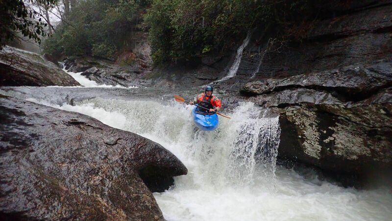
Chattooga Cliffs - Grimshawes Bridge to Bull Pen Bridge(AKA Section 00)
| Difficulty | IV-V |
| Length | 3.5 mi |
| Avg Gradient | 78 fpm |
| Permit | Permit must be obtained at Green Creek Trail, County Line Trail, or Bull Pen Bridge in NC, Burrell’s Ford Rd (GA side of the river), Warwoman Campground (FR 86) and Overflow Creek in GA, or Hwy 28 boat landing, Low Water Bridge, Earl’s Ford, Sandy Ford, Fall Creek, Thrift’s Ferry, Hwy 76 / Bull Sluice lot, and Woodall Shoals in SC. |
| Gauge | Chattooga River at Burrells Ford, Nr Pine Mtn, Ga |
| Flow Rate as of 32 minutes | 52 cfsbelow recommended |
| Reach Info Last Updated | December 27, 2019 |
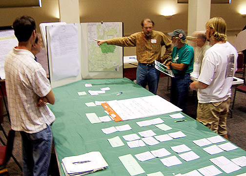
Table of Contents American Whitewater Chattooga Project Summary Forest Service Process Paddlers’ Litigation Against the Forest Service Overflow Creek Upper Chattooga Timeline American Whitewater Chattooga Project Summary The Chattooga River, which starts in Western North Carolina and flows south to form the border between Georgia and South Carolina, was [...]Read More
The upper two miles of
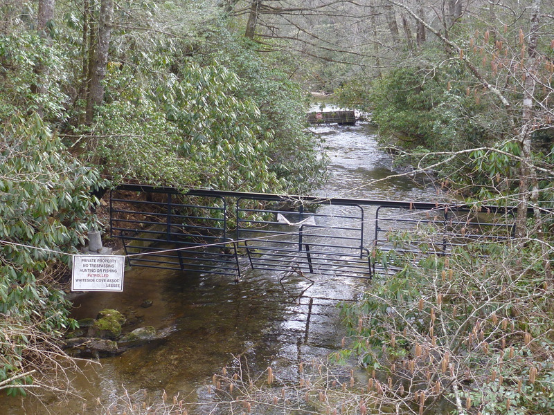
the Wild and Scenic corridor below Whiteside Cove Road runs through private
property. The property owner has blocked the river with cattle gates, fencing,
and razor-wire. The Forest Service prohibits
paddling on public lands immediately upstream and downstream of the private
property. Paddlers have to hike in to the river on the Chattooga River Trail
from the small parking lot on Whiteside Cove Road, turning left down an
unmarked Green Creek Trail to reach the river. The entry hike of almost two
miles is long but easier than many other runs such as the Toxaway, Horsepasture
or Ravens. Be sure to fill out a permit at the trailhead.
Approximately 2 miles
downstream of the Green Creek put-in, a river-wide log jam exists around two
large boulders that created three narrow channels. The log jam appears to be
from old floods and appears to function as a strainer for most floating debris
coming down upper reaches.
A small ledge defines the
beginning of the whitewater immediately downstream of the logjam that continues
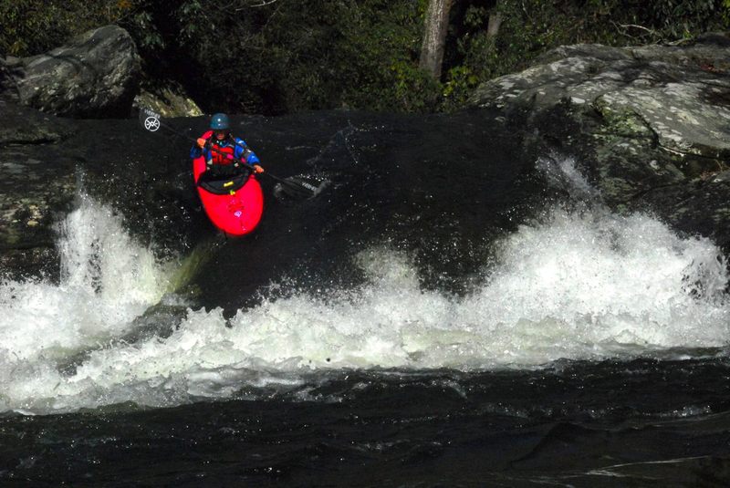
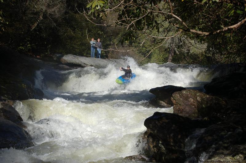
approximately 1.2 miles down to Bull Pen Bridge. The upper 2/3-mile has the
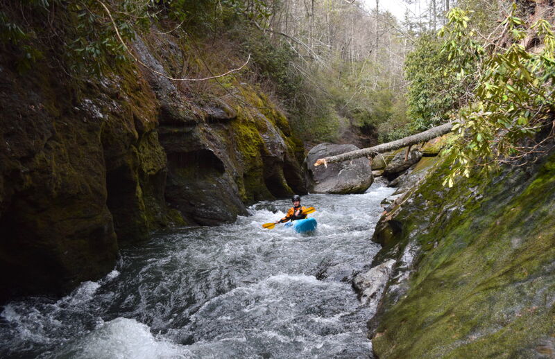
most difficult rapids. The river enters a narrow canyon defined by steep rocky
cliffs overhung above by dense vegetation. The rapids are close together,
constricted and easy to approach and scout at low or moderate flows. The rapids
are generally Class IV or V-, with one difficult sieve that may be boatable at
higher flows.Strainers and sieves are
common on this reach and a portage or two can be expected.After 'the Sieve' the river mellows
to Class III-IV the last mile to the bridge.The run has required 2.5 hours for a 4-mile trip.
This run is about the
unique river features and closed-in feel of the river.It is a lot of work for the few rapids and
would be visited to experience an almost primordial sense of the river.
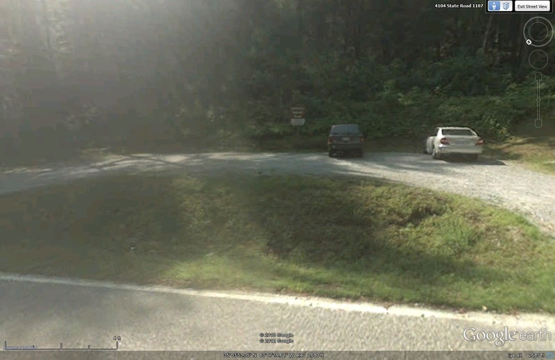
Trail leaves out of back right and permit box is 100 yds down the trail on left.
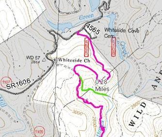
You reach the put in after a 1 mile up and down hill hike to the confluence of Green Creek and the Chattooga. Start on Chattooga trail and hike 3/4 mile. When you see a piece of large cable on the right side of the trail go 100 yards further and look for Green Creek trail to left going downhill beside a small water seep/stream. (Green trail on map) If you get the wooden handrail you went too far.
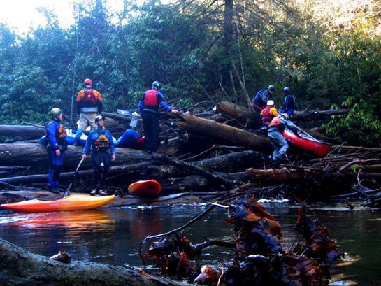
Two large boulders catch all the logs headed down the river. A must portage. The best route is to the left. Be careful of shifting logs. These trees are big enough to break a leg or worse if they move and they are stacked like pickup sticks.
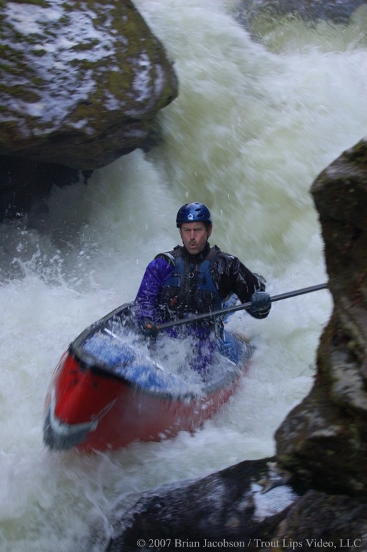
Narrow turbulent drop into a pothole lined gorge, long runout and setting safety not possible for entire drop.
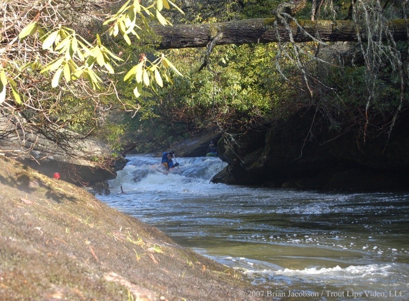
Easy line with a lot of hazard. The obvious line is left but this leads into a pothole that feeds a pinch point. The actual line is farther right beside the large rock. The line was right beside a partially submerged log on our trip.
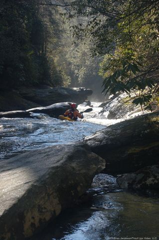
Long approach into last alleyway. Initial approach relatively easy but a must catch eddy before a fast chute feeding into a strainer with a thin line on the right.
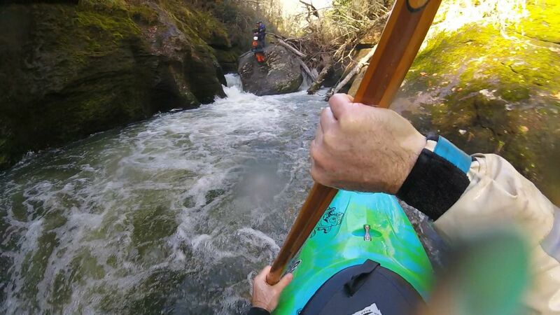
Sieve with thin line on left that is blocked with wood (Jan 2019). There is also a twisty slot move against the right wall. Easy portage on bedrock around left side. Often holds wood, no eddy above. Scout from above Beauty.
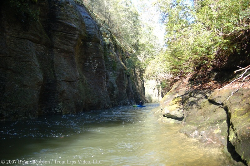
Tight alleyway that ends in sieve rapid. No vegetation grows by the river due to stripping during large floods. Portage Sieve Rapid on the right over the large rock being carefull of the surrounding undercuts and siphons.
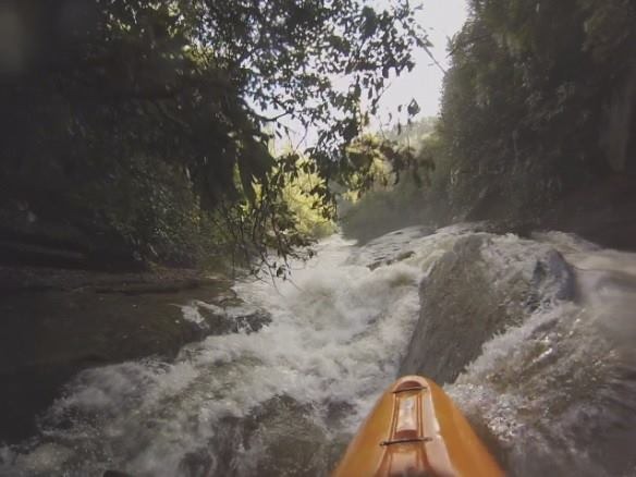
This drop is not runnable at low water and is very difficult to portage at high water. At low water the entire river goes under the rocks on river right. At high water a large hole forms at the bottom. First run on 1/11/14 by Russ Langley at 1500 cfs.
See the video here:
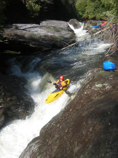
Angled ledge with potholes and undercut rock on right side but clear line down left. A log is wedged in the veil parallel to the drop. Whoa Nellie! can be seen in the background at an unrunable low level.
Feb 23, 2020
A delightful day on the river!
May 20, 2015
In 1993, I waded or swam all 25 public miles of the Headwaters, accumulating about 750 pictures of the river at ELF, or extremely low flow.
First, Section 00, Chattooga Cliffs. This is the most complete set of pictures from my wading and swimming expedition in 1993. The pictures are 'blogged' on a UK website. Sometimes the pictures load slowly from Flickr.... Go open a beer and be patient.
Of course the river was at extremely low flow,, but that has its own attraction.
I will post links to Sections 0 and 1 in the comments for those sections.
Oct 16, 2014
I'm having editing problems with my post. I can't get the link separated from the text. But if you mark the link successfully, it will get you there.
To avoid my text and just see the pictures, my Flickr album.