Otter Creek
1. Fish Liming Operation to Big Spring Gap(Upper Otter Wilderness)
| Difficulty | IV-V(V+) |
| Length | 11.3 mi |
| Avg Gradient | 96 fpm |
| Gauge | Dry Fork at Hendricks, Wv |
| Flow Rate as of 55 minutes | 104 cfsbelow recommended |
| Reach Info Last Updated | May 27, 2026 |
You can surf on over to read the Zone Dogg's story.
Upper Otter Creek is one of the best steep creek expeditions in West Virginia. It is the ultimate 'source to mouth' run, starting on the tiniest of tributaries flowing through a marsh and going all the way to its mouth at the Dry Fork of the Cheat. It is very long and committing requiring a high degree of skill and endurance, you have paddled 6 miles before you reach the first Class 5 rapid!
You will puton a small tributary called Condon Run and scrape your way for about 1/4 mile until you reach the marsh. At the beginning of the marsh, there is a 5 foot dam onto a concrete slab that can be run anywhere or easily portaged on the right. For the next 4 miles, the creek winds slowly through the marsh and passing through some of the most gorgeous scenery in West Virginia. There are many trees down but you can fight your way over, under, and through most of them.
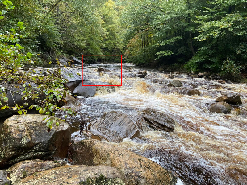
After about 4 miles, the creek bed changes from sand to rock and the creek starts going down actual rapids that grow in intensity as you travel further downstream. There several fun warmup slides and boulder drops that will carry you through the next 2 miles. Just above where Yellow Creek enters, there is a steep cascade that is best run left of center.
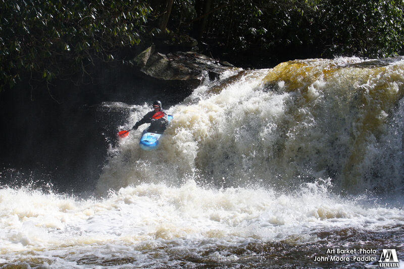
Yellow Creek enters about 6 miles into the run and, besides adding volume, it marks the beginning of the steep section (4 miles dropping close to 250 feet per mile). After a few long slides (one that is fairly steep), you come to a 15 foot falls onto rocks. This is best run far right down a flume. This flume leads into a rocky cascade that requires you to angle left. Right below this, is a 100 yard long slide.
The creekbed changes from slides to boulder drops below here. Most boulder drops are boat scoutable but some are pretty steep. Be on the lookout for trees through here. After a couple miles, the run steep
...May 25, 2026
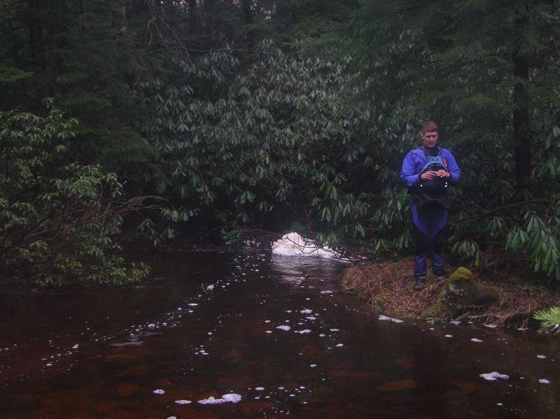
Only a couple portages on the upper flatwater paddle in. This is after hiking for roughly an hour from the trailhead. Everything else we were able to (sometimes agressively) duck or work around. Stay on your toes, because wood does shift and fall into the creek. About 5 minutes into the hike, turn left to get onto the trail and off the access road. The road goes down to the creek and you probably don't have enough flow at that point (not to mention portaging trees). Follow the trail, through a couple of stream beds, for about an hour until you find a decent place to put in. We put in about 5-10 minutes past Harper Run (listed on Google Maps).
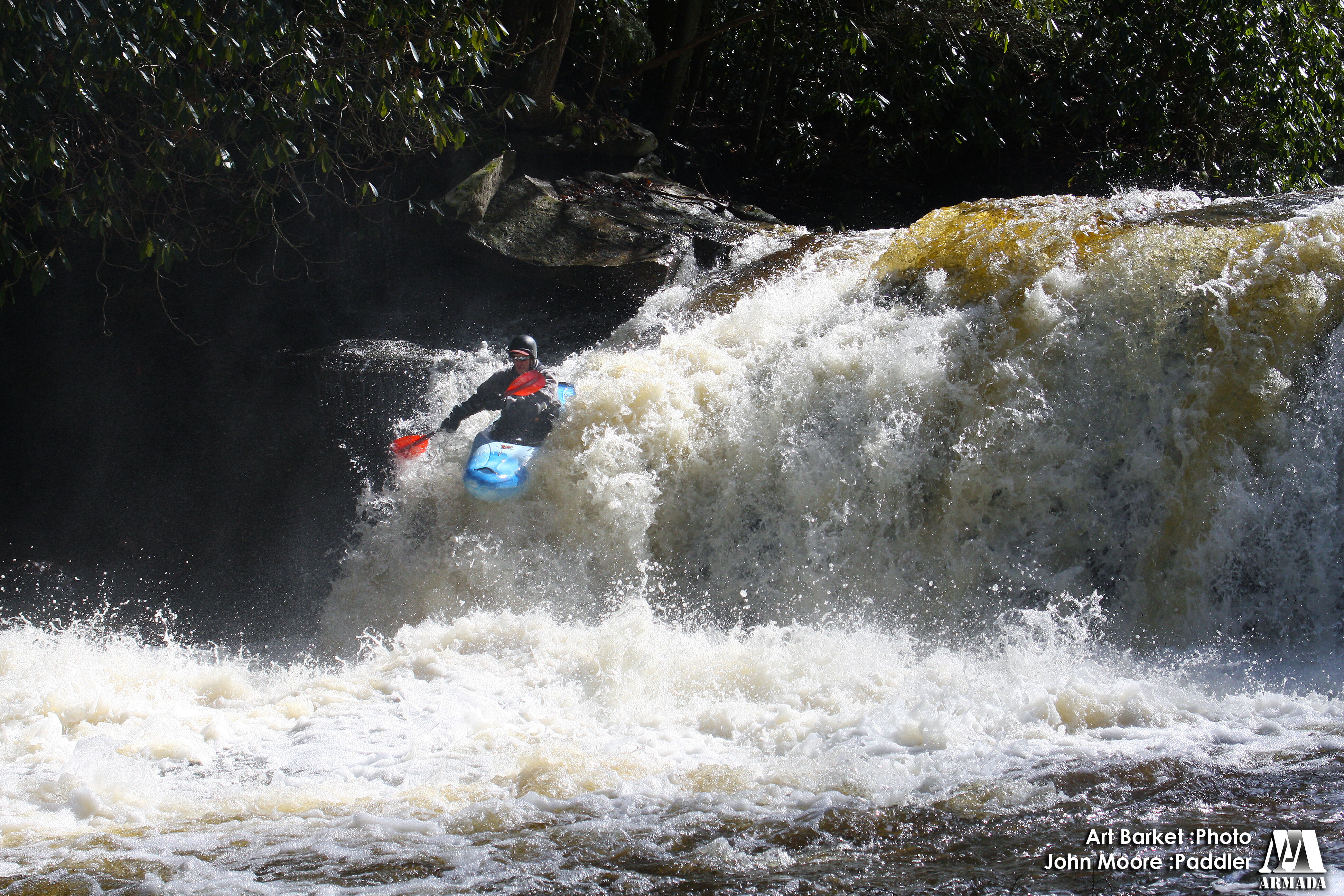
Jul 9, 2007
A group ran this 7/6/07. All of the wood is clear in the steep sections (thanks to John Moore) and we ran all drops. One drop, right side after an island had some new limbs in it but is easily seen. There is still a bunch of wood in the last 2-3 mile runnout before the dry fork though so keep a heads up after the steep sections end.