Colville
Thunder Creek to Harrison Bay

| Difficulty | I-II |
| Length | 375 mi |
| Avg Gradient | n/a |
| Reach Info Last Updated | March 12, 2013 |
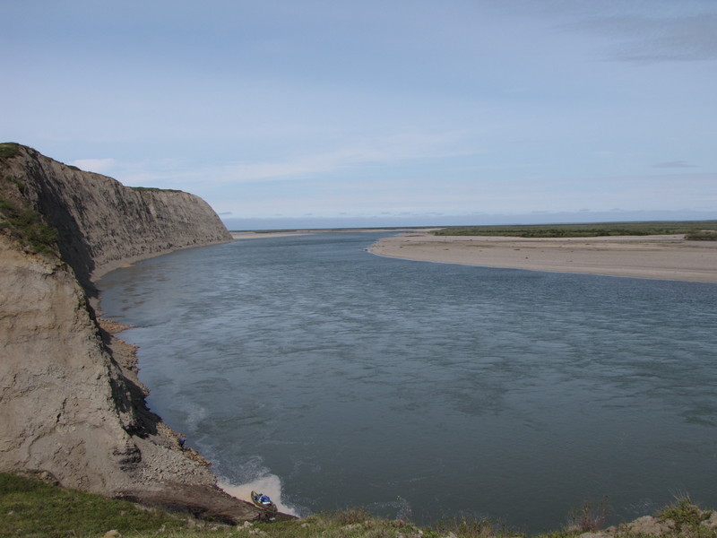
One of the nation's most remote rivers emerging from the Brooks Range and flowing over 300 miles through the Arctic Reserve to the Beaufort Sea. At 23 million acres the Arctic Reserve is the largest unit of public land in the United States with spectacular opportunities for wilderness exploration.
The Arctic Reserve was originally established in 1923 by President Harding when the navy was converting its fleet to run on oil instead of coal, and in 1976 the Bureau of Land Management (BLM) took over management. While areas within the Arctic Reserve have been opened for oil and gas leasing, much of the landscape remains as wilderness.
The uppermost put-in typically used is Thunder Creek and those who float all the way to Nuiqsut on Harrison Bay can easily make this a month-long adventure. The upper 60 miles are rated class I-II and once you pass the Kiligwa River the river settles down to class I. The river is extremely remote and paddlers can expect a true wilderness adventure.