Alapahoochee (Grand Bay Canal)
GA SR 135 in Echols Co. to Fla SR 150 on the Alapaha
| Difficulty | II |
| Length | 3 mi |
| Avg Gradient | n/a |
| Gauge | Alapaha River Near Jennings Fla |
| Flow Rate as of 48 minutes | 62.49 ftbelow recommended |
| Reach Info Last Updated | April 27, 2012 |
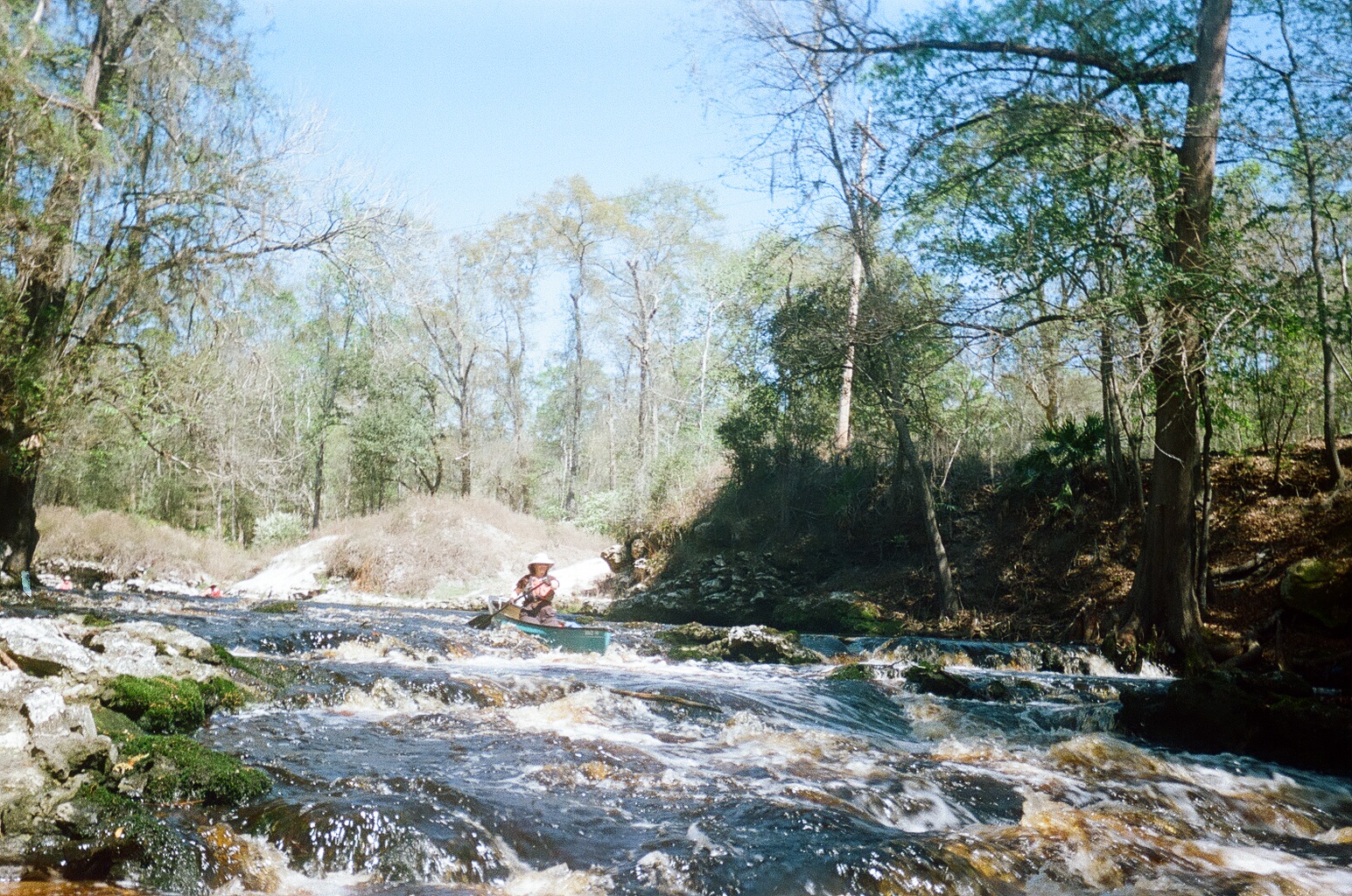
Runnable nearly all year, this section is swift with few obstuctions. The rapid occurs about .5 miles below the abandoned bridge halfway into the run. At low water there are two distinct sets of Class II drops. As the water level rises, the two drops merge into one ledge/wavetrain.
Downstream, just above the confluence with the Alapaha, look for Turket Creek entering on the right. At low levels this is a 12' waterfall into a beautiful grotto. At high levels (heavy local rains) this drop turns into a pretty radical Class III-IV creeky double drop.
Thanks to Dan Webb for this description.
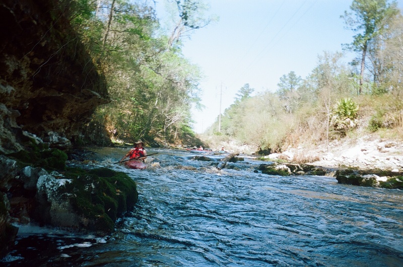
Zooming in on the satellite view, one can almost make out something possibly resembling a ledge. At low/runnable flows, ther are two distinct ledges. At higher flows, they will run together into a wave train.