Caesar Creek
Caesar Creek Lake to Little Miami River
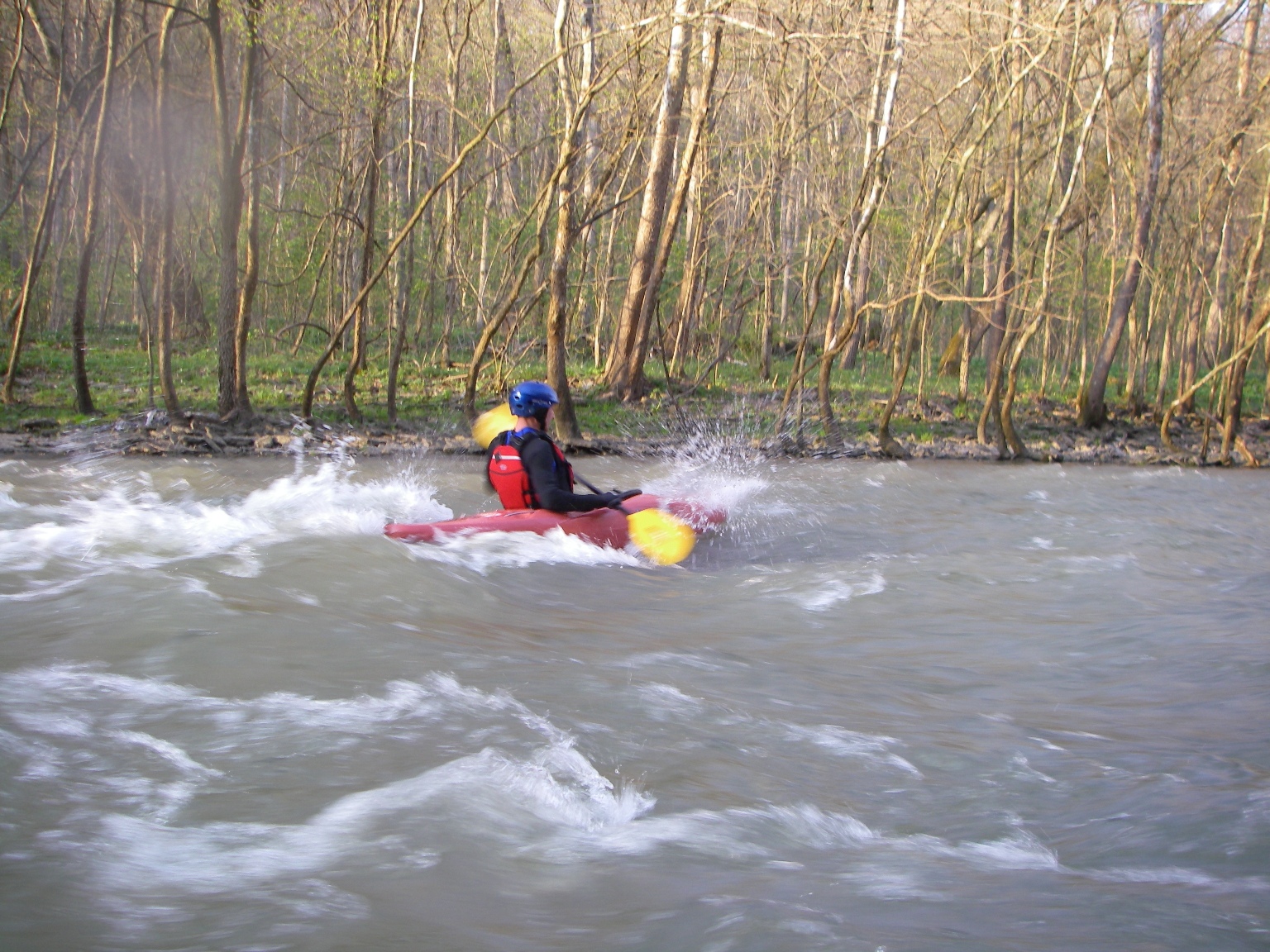
April 19, 2011
| Reporter | Evan Hagberg |
Put-In Access Rd GPS - N 39.489640 W 84.06221
Take Out GPS - N 39.49299 W 84.10167
^-- Take out is on SW side of bridge, walk SE across bike path & Bridge back to parking lot (20yds) - Per request of park rangers, please don't use the East bank next to the parking lot - it's a nature sanctuary.
Water flows nicely with very few issues, ran it 4x in last week @ 8.5ft - it's a quick run but easily doable twice in 2/2.5hrs