Boone
Boone Ledge (PnP)
| Difficulty | I(II) |
| Length | 2.2 mi |
| Avg Gradient | n/a |
| Gauge | Boone River Near Webster City, Ia |
| Flow Rate as of 49 minutes | 191 cfsbelow recommended |
| Reach Info Last Updated | June 10, 2024 |
Quick Facts:
Location: Central Iowa, approximately 5 miles due South from Webster City.
Shuttle Length: ~ 2 miles, Albright's Canoe Access to Bever Bridge Canoe Access
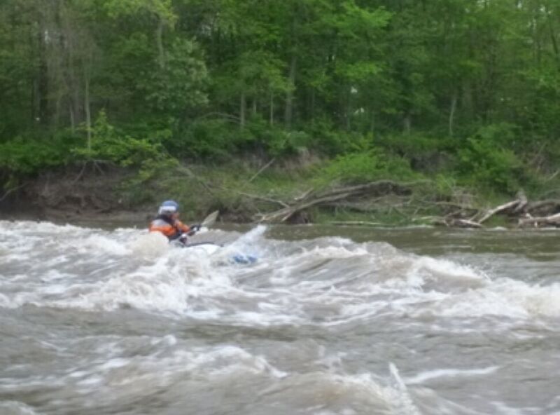
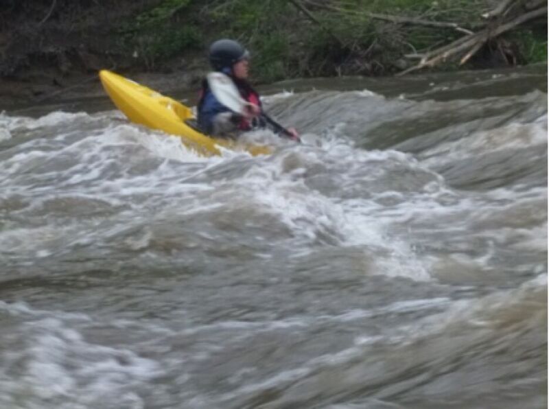
Character: Natural rock ledge provides waves and holes for 'paddle and play' boating.
General Overview
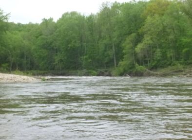
Boone River offers several whitewater features which are very water level dependent.
Downstream of the Albright’s Canoe access, the river makes a horseshoe bend at the Barner Wildlife Management Area #1. A natural 2 foot high ledge spans the river. (Previous information describing this as remnants of a low head dam were inaccurate.) River right is often blocked by strainers. River left access is easy at lower flows and increasingly more difficult at higher flows. The feature is playable from 1000 - 2200 cfs (using USGS gauge for Boone River near Webster City). Surfs, spins and cartwheels are possible.
The river also contains a significant amount of glacial-erratic boulders, offering excellent 'rock boof' opportunities depending on water levels.

Hamilton County, Iowa
Hydrologic Unit Code 07100005
Latitude 42°25'57', Longitude 93°48'20'
Drainage area 844 square miles
989.57 feet above sea level