Elkhorn Creek
to confluence with Little North Santiam
| Difficulty | V |
| Length | 6.2 mi |
| Avg Gradient | n/a |
| Gauge | Little North Santiam River Near Mehama, or |
| Flow Rate as of 16 minutes | 90 cfsbelow recommended |
| Reach Info Last Updated | August 2, 2022 |
The National Conservation Lands—a 26-million-acre collection of national monuments, wilderness areas, wild and scenic rivers, trails, and historic sites—are managed by the Bureau of Land Management (BLM) to conserve some of the most treasured landscapes in the American West. Established administratively by the BLM in 2000 and made permanent [...]Read More
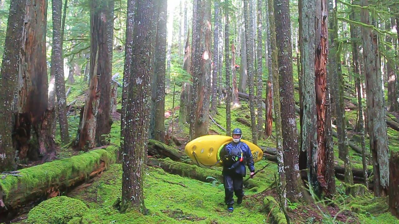
Check out the description, with pictures, in Jason Rackley's excellent Oregon Kayaking site.
Using the same road Oregon Kayaking and the Dinsdale brothers used (NF - 201), we parked where a spur road branched off to the north about a half mile above where the Dinsdale began their descent into the canyon. We encountered many wood portages in the upper region. Things cleaned up a little after Big Twelve Creek comes in on the left, but the current wood situation resulted in continued portaging in the crux section. There were a few fun rapids in here, but they were hard to enjoy as we were running short on daylight. Razorback Falls is indeed difficult to scout, best run center right, it’s the first horizon line after Crunch N’ Munch. Dinsdaba's description is spot on: it's a long day of class V paddling/adventuring. We had 2,000 cfs on the LNF at Mehama, which we felt was about the minimum flow.