Elk River, Back Fork
2. Confluence of Sugar Creek(Skelt) to Big Sycamore(Breece)(Three Falls Section)
May 9, 2002
| Reporter | Joseph Greiner |
A group of 6 of us ran this on May 1 2002. GAUGE INFO We ran it at 5.8 and falling slowly on the Webster Springs gauge. The book says 5.8 is minimum and we agree. We did it at that level and had a lot of fun. But I would NOT do it at 5.7 or 5.8 and falling fast. I also ran it in the past at 6.1 and found that level to be a lot of fun also. So the guidebook suggestion of 5.8 to 6.2 I agree with on the low side...on the upper end...well that's up to you.
PUTIN. If Sugar Creek is high enough...put in on Sugar Creek. Otherwise turn around on CR 22 and go back up the hill a short distance until you quickly come to the SECOND dirt road heading downstream in reference to Sugar Creek. The first dirt road is at creek level and only goes a short distance down Sugar Creek. The second dirt road will have A BLACK MAILBOX on it. It is not a driveway. You can even see it on any WV Atlas and Gazetteer. Take it and after about 1/2-3/4 mile, you will come to the Back Fork. We drove downstream about 100-200 yards and parked in a wide spot on the road just before a church. No sweat!!
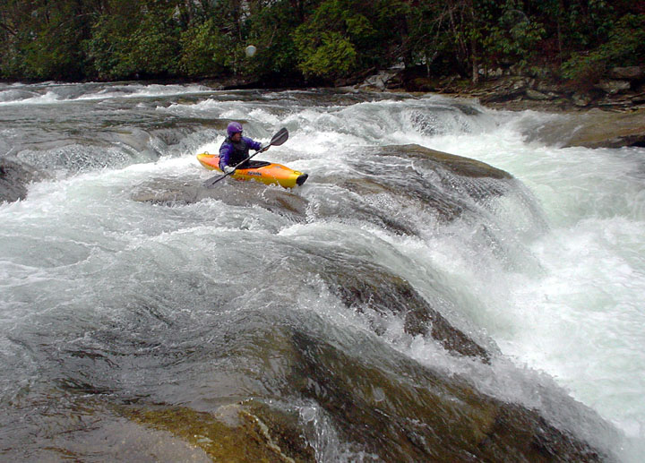
THE RIVER. Delightful to the max!! The guidebook talks about three falls (indeed the section is known as the 'three falls' section. Well, they are all runnable and we ran all 8 of the 3 that we found!! We won't tell you more than that because part of our delight was coming to them and figuring out how to run them. We took at at the the Big Sycamore on river right after parking in the parking area by the footbridge to the Big Sycamore. Unfortunately as of May 2002, the Big Sycamore looks Big Sickandmore.