| Difficulty | IV-V+ |
| Length | 31.9 mi |
| Avg Gradient | n/a |
| Gauge | Tuolumne R a Grand Cyn of Tuolumne Ab Hetch Hetchy |
| Flow Rate as of 37 minutes | 8.42 ftbelow recommended |
| Reach Info Last Updated | September 4, 2023 |
River Description
The Grand Canyon of the Tuolumne was first kayaked in 1983. There has been a steady increase in boating use ever since. With the rise in kayaking skills and the development of better and better creek boats, more people than ever are paddling and portaging this river. However, the consensus still seems to be that the best paddling in is the upper miles while the middle section is better for hikers and canyoneers.
A GUIDE TO THE BEST WHITEWATER IN THE STATE OF CALIFORNIA, HOLBEK & STANLEY, 1988
Other Information Sources:
Grand Canyon of the T paddler report Seven Rivers Expedition, 2004
Yosemite Park: Tuolumne River/Tuolumne Meadows Plan
2008 Tuolumne Planning Workbook page Comments due Sept. 15, 2008
River Features
Put In
Access PointDistance: 0 mi
Take Out
Access PointDistance: 32 mi
Trip Reports
Log in to add a reportTO
River Management Society Trip to Hetch Hetchy - Thomas O'Keefe
Mar 11, 2009
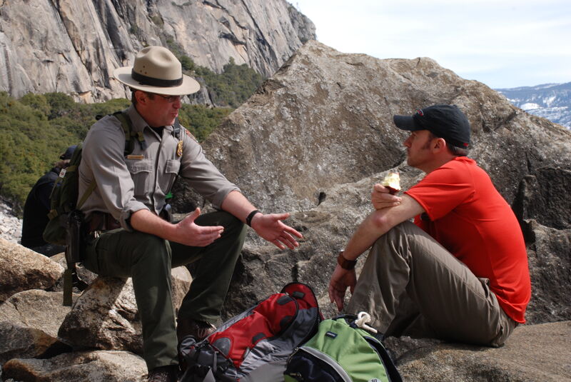
As part of the River Management Society conference at Yosemite we took a field trip to Hetch Hetchy and discussion Wild and Scenic Rivers Planning and management of the river corridor and reservoir. It was an opportunity to discuss the interests of American Whitewater in a setting that included park staff and senior agency leadership involved in Wild and Scenic Rivers planning and management.
TO
Wild and Scenic River Planning - Thomas O'Keefe
Sep 15, 2007
Yosemite National Park
Tuolumne Wild and Scenic River Planning
NOW AVAILABLE: THE TUOLUMNE PLANNING WORKBOOK, A WORK IN PROGRESS
This summer, the NPS will continue discussions with the public, park
visitors, staff, stakeholders, and volunteers regarding planning for both
the Tuolumne Wild and Scenic River and Tuolumne Meadows in Yosemite
National Park. To further these conversations, the NPS is releasing the
TUOLUMNE PLANNING WORKBOOK, a compilation of all work completed on this
planning process to date.
While release of the draft EIS for the Tuolumne River Plan and Tuolumne
Meadows Plan will not occur until summer 2009, the NPS is providing this
workbook as a progress report and seeking additional comments from
interested members of the public. This is a new step for planning in
Yosemite, inspired by members of the public who asked for opportunities to
provide input on park plans DURING the plan's development.
The Tuolumne Planning Workbook contains draft descriptions of Tuolumne
River values, prescriptions for future management, and preliminary concepts
for where and how these management prescriptions could be applied. It also
contains a comment card and map of the Tuolumne River corridor, suitable
for marking up and mailing back.
Hundreds of comments were received last summer during public scoping for
these two plans, which continue to inform the planning process. However, if
information contained in the Tuolumne Planning Workbook prompts new
thoughts on how to plan for Tuolumne Meadows, additional 'scoping' comments
are welcome.
This is an exciting point in the process where no decisions have been made,
but a tremendous number of ideas have been shared. Yet the NPS planning
team is seeking more. Before heading into development of Tuolumne River
Plan alternatives this fall, the NPS wants to take advantage of this summer
season to get additional input.
To be considered in the alternatives development process, comments on the
workbook must be received no later than September 15, 2007.
The workbook can be viewed online at www.nps.gov/yose/planning/trp. To
request a printed version--or submit written comments--send an email
YOSE_Planning@nps.gov, fax 209-379-1294, or mail Yosemite Planning, ATTN:
Tuolumne River Plan, P.O. Box 577, Yosemite, CA 95389.