| Difficulty | V |
| Length | 0.21 mi |
| Avg Gradient | 210 fpm |
| Reach Info Last Updated | January 2, 2024 |
River Description
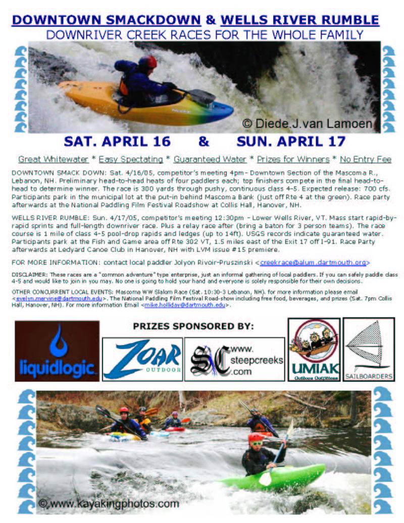
For a description, see the AW Journal article.
There is a gauge located in another branch of this system which could be used for correlation. However, there is no 75th percentile or paddler observations to base any correlation off of. If you run this section please check the online gauge and leave a comment with the flow and a description of the run.
USGS discontinued the gauge, now it is operated by NHDES: https://www4.des.state.nh.us/rti_home/station_information_display.asp?ID=MCAN3
River Features
Put In
Access PointDistance: 0 mi
Take Out
Access PointDistance: 0.33 mi
Trip Reports
Log in to add a reportNG
Nick Gottlieb
Oct 22, 2007
The log is no longer there. From under the bridge, looking down, it will look like there is a log spanning the right side of the river (and that you'd have to make the move to the left) but that isn't the case. The whole run is good to go, a couple logs sticking up here and there but nothing very significant.
MH
Michael Holliday
Sep 13, 2006
There's a log spanning the river near the bottom of the run that you can't see from the bridge - you can sneak around it by catching a river left eddy, but make sure you can catch the eddy before putting on
JR
Jolyon Rivoir-Pruszinski
Apr 15, 2005
The competitors meeting is saturday april 16 at 4pm.