Second Creek
2. US 219 bridge to the confluence with the Greenbrier River
| Difficulty | I-II |
| Length | 9.1 mi |
| Avg Gradient | 25 fpm |
| Reach Info Last Updated | March 29, 2012 |
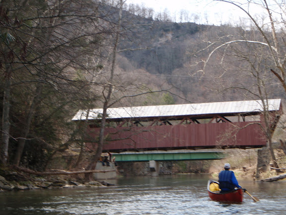
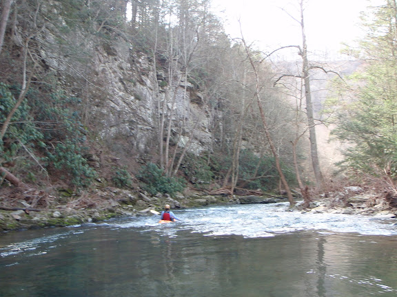
Lower Second Creek is a Class I-II run with a nice micro-gorge containing cliffs and boulders in the 2 miles ending with Hokes Mill covered bridge. The first couple of miles downstream from Hwy. 219 are pastoral and can have more strainers, so Patton or Nickels Mill might be a good alternative putin. You can take out at the Greenbrier confluence (Hamilton Rd.). You can scrape down around 1.0 on the staff gauge but a decent minimum for the lower section is probably 1.3 or 1.4.
Lat/longitude coords are approximate, from TopoZone.
Jun 23, 2020
be on the lookout for fencing in the river just downstream of the put in- it disappears and reappears, Here's the last beta I got (from Jim B.), After the small runnable dam the river splits. The river left channel (more flow) is currently more passable (less logs) than the right side. Downstream in the 'gorge' I've been told that there is one piece of wood against a big rock that is only avoidable with good boat control (6/20/20).
Mar 29, 2012
Hokes Mill covered bridge