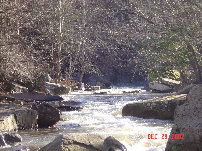
Spring Creek
Cordova to one mile below the confluence of Robbins Run along CR 5
| Difficulty | II-III |
| Length | 6.6 mi |
| Avg Gradient | 60 fpm |
| Reach Info Last Updated | January 16, 2004 |
Shortly below the take-out creek goes underground for a short distance.
Lat/longitude coords are approximate, from TopoZone.
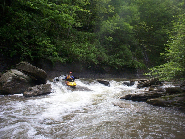
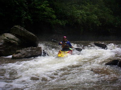
Let's start with upper Spring Creek.
Put in at the end of Upper Spring Creek Rd. (CR 5/7) by bridge, parking is available.
TakeoutCordova at the church near the forks of Leonard Cordova Rd. (CR 5) and Upper Spring Creek Rd. (CR 5/7)
Description: Class 3+, fast, narrow, low hanging branches, big rocks to manouver around, and two to three fences-broken out in spots which require some scrambing to paddle through gaps.
Distance: 1.3 miles
Gradient: 130 fpm
This information is from Chally Herb