Potomac, S. Branch
6. S. Grove Street, Petersburg to US 220 bridge North of Moorefield
Sep 3, 2022
There's a tree down after the lunice Creek confluence. It's located in the left turn at the mill Creek confluence. It's avoidable on river left, but lies in the main flow of the stream making avoiding it difficult.
An unprepared boater could get pinned here easily.
Apr 19, 2021
I just ran the section from Welton Park to Cunningham. The American Whitewater flow chart was at 5.6 feet for our trip. Our group consisted of a 16' tandem canoe and one 12' solo canoe. Our goal was to paddle from Welton Park to the Trough General Store with an overnight stay in the canyon. We reconsidered the Trough after a stressful 13-14 miles of swollen river.
Using a GPS enabled watch we determined our average moving speed speed to be 4.8 miles per hour over 15.27 miles of total paddling.
The trip was an adventure but became stressful when this usual class I-II section presented us with what we believe to be a class III and two class III+ rapids. The river itself was very strong and at times it was all we could do to keep our boats straight and we fought to stay upright on a few occasions.
The first rapid that gave us trouble was about 2.8 miles from our put-in. At a sharp left bend in the river a series of large standing waves had set up (class III). The solo canoe was pushed further into the middle of the river than the paddler wanted and was immediately swamped with the first wave filling half the boat with water and the second wave completely filling the boat resulting in a 'swim' followed by a self rescue. The tandem boat was able to skirt along the left side of the rapid and only took on a few inches of water.
At around 8.5 miles in, at the Fisher Rd. bridge we encountered what appeared to be a III+ that consisted of fast running and large undulating swells, waves, and whitewater. This area of rapids ran for .3 miles continuously. We were able to find an intermittent creek from the high water and were able to portage around the rapid by crossing over a rocky island on river right and pulling boats through a creek to the bridge.
The third problematic rapid was about 11.2 miles in and stood just south of the Rt. 48 bridge. We saw the whitecaps early and veered right to avoid the whitewater and found ourselves navigating a calm cut through along the shore. A man greeted us from the shore and explained that the area we were in usually doesn't have water in it and that there were a bunch of rapids over on the left side. He offered to help us if we needed any assistance. As we neared the main channel we looked up and then down stream and realized that we were looking at about .5 miles of what we believed to be III+ water. the river was racing by with large undulating waves and swells with white water frothing up all throughout the run. We were once again forced to portage.
After the Rt. 48 bridge things were calm until we reached the boat ramp at Cunningham. We have paddled the Trough before and decided that it might be better to end short rather than continue. The Trough has a couple tricky spots on a good day and the volume we had encountered so far convinced us to bail (pun intended) while we were still relatively warm and happy (high of 68 with overcast skies). We called up the Trough General Store and they shuttled one of us to the car and then we packed up our stuff and headed over to Dolly Sods for our campout (which was originally scheduled to be in the Trough).
This was a GREAT adventure but the river was way too much for our open topped boats. Kayakers enjoy the 5.6 river level! Canoers BEWARE :)
May 27, 2018
StreamTeam,
You have made the right move by moving the minimum level up, but it would be a good idea to also move the maximum up as well. The current listed maximum (7ft) is too low. I ran this stretch at 7.2' this week and it was a comfortable height-- nowhere close to being dangerous.
Open boaters should watch out for good-sized standing waves in various places in this run-- particularly before the Petersburg 220 bridge.
Mar 28, 2018
Based on the information that the Petersburg gauge had changed, the StreamTeam changed the minimum level for this river length to 3.75' on the Petersburg gauge. Any comments as to whether this addresses the comments below would be appreciated.
Jun 9, 2014
Canoe-camped from Petersburg to Harmison's Landing (28 miles). Level was around 4' when we started and dropped to 3.8' on Saturday. This was a great level, even though there were places that were almost too shallow...
Sep 8, 2004
Something happened to the gauge at Petersburg. It is reading much higher than it used to. I'm guessing about 2 foot. Does anyone know what changed?
Jan 1, 1900
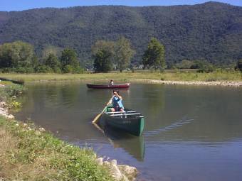
The area around scotts cabins is a great place to teach the kids basic white water strokes,before headin up to Smoke Hole,Moorefield gorge or hopeville canyon...
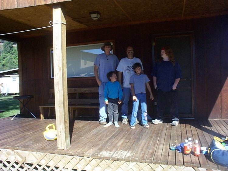
Happy folks after fishin and runnin class 1-2 rapids,on the banks of the river at scotts cabins