Rock Creek
County Rd 200s to 150s (1.75 miles)
Oct 26, 2014
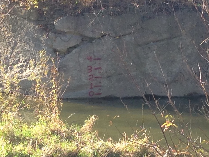
There is a new guage where the old bridge was just before the takeout. Turn left on the gravel road just before the takeout and go 100 yds to the dead end, walk another 30 yds through the path to see the guage. Warning! the path ends in 12 foot sheer vertical drop down onto rocks.
Sep 21, 2014
Ran today 9-22-14 with my son and a couple frinds for the first time. Wabash Markle guage was around. 800-900 and it was a nice run, good water level. Was just up to the banks in spots. Good waves and continuous flow. A few nice play spots. Easy put in and take out (both on public land). You could lap this easily many times. We ran this then the wabash which shares the same take out. No major hazards. All channels were passable. The tree on the left of that island is easily seen and easy to avoid.
Jun 21, 2014
My son and I ran the river on June 20, 2014. Water level was high after recent rains. There were no trees blocking the river. It was short and fast and fun.
Oct 13, 2001
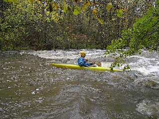
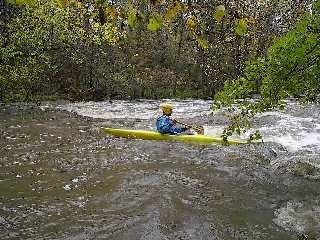
A small ledge with good eddys and a small but nice wave
Entering the rock walled section.
A good spot to do eddy turns and ferry moves.
Catch the top left eddy,Peal out and run the drop, catch the bottom left eddy, ferry across to the river right and go up and ferry across to the upper eddy on the left, eddy out
and catch the lower left eddy again.