Cache La Poudre
07. Dead Deer to Poudre Park(Lower Mishawaka)
| Difficulty | III |
| Length | 2.1 mi |
| Avg Gradient | 62 fpm |
| Gauge | Cache La Poudre at Canyon Mouth Near Fort Collins |
| Flow Rate as of 16 hours | 242 cfsbelow recommended |
| Reach Info Last Updated | June 2, 2025 |
Lower Mishawaka is an easy stretch of III sandwiched between harder sections on the river, it's a good upgrade for beginners who want to progress beyond the Filter Plant run. The lines are easy and there are no man-made obstacles to maneuver around. However, intermediate paddlers should have a guide as there are a couple of large holes to avoid.
Compared to other sections of the Poudre, this is relatively shallow and rocky.
The best gauge is a hand-painted rock above Pineview Falls, a few miles downstream of this run. A local boater reads the gauge and posts it on his website at www.poudrerockreport.com most mornings during the boating season.
Logistics:
The public put-in is at Dead Deer but you can also utilize the private access just upstream at the Mishawaka Inn (mile marker 108.2). Take out at Poudre Park Access (mile marker 110.7).
For descriptions of Colorado runs, see Whitewater of the Southern Rockies by Stafford and McCutchen, or Colorado Rivers and Creeks by Banks and Eckert.
Other runs in the Poudre River watershed: Big South (Class V/VI), Joe Wright Creek (Class V), Spencer Heights (Class V/VI), South Fork (Class IV/V), White Mile Run/Upper Rustic (Class III), Grandpa's Gorge/Lower Rustic (Class III/IV), The Narrows (Class IV/V/V+),
...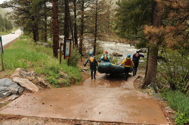
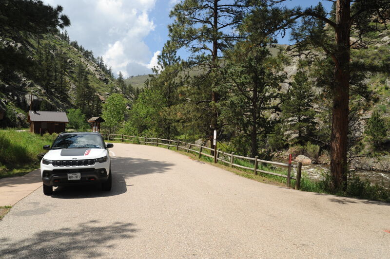
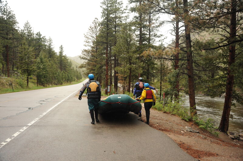
A short distance downstream of the Mishawaka Inn, the Dead Deer put-in has a paved pull-out and a set of concrete stairs leading to the river. This put-in is used by raft outfitters. Watch for 'no parking' signs in the parts of the pull-out where they stop their buses. In the summer, the outfitters maintain a porta-potty here. This access is located at Poudre Canyon Highway mile 108.8.
A jumble of rocks and small holes where the river cascades over a large cobble bar with a slight left-right-left S-turn. The smoothest line is a diagonal from center-left to center-right. This rapid is recognizable by the large boulder at the bottom right (in Ansel Watrous campground).
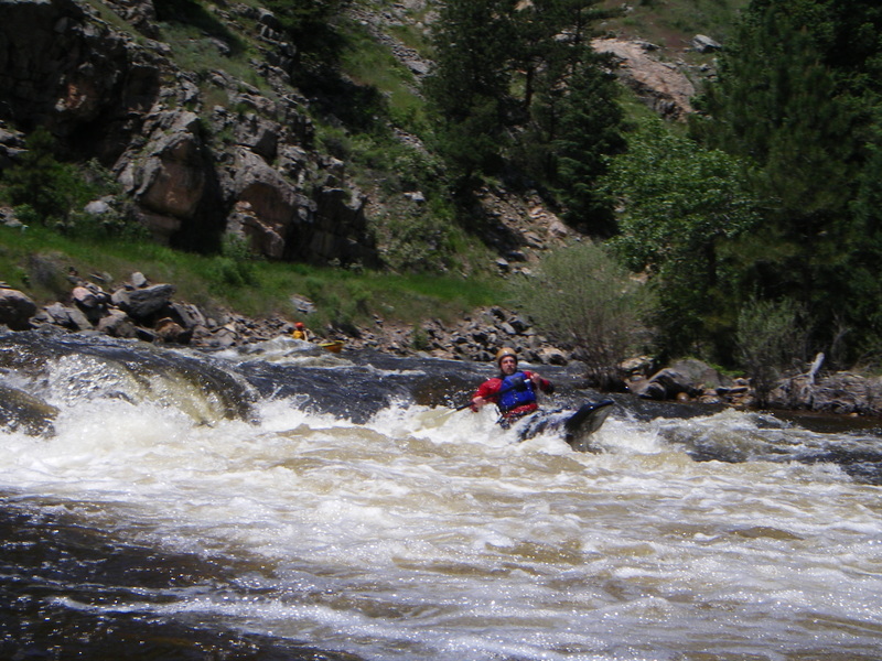
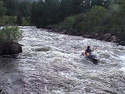
A jumble of holes, waves, and rocks, culminating in Horseshoe Hole itself. A large rock blocks the left side of the river, Horseshoe Hole is in the center, and a tight right run splits the 'goalpost' rocks on river right. Horseshoe Hole is shallow, rocky, and recirculating and has injured several people and killed at least one. Stay right of it.
A series of large boulders with tight channels between them. At low water, there are many opportunites to get a raft stuck or wrapped here.
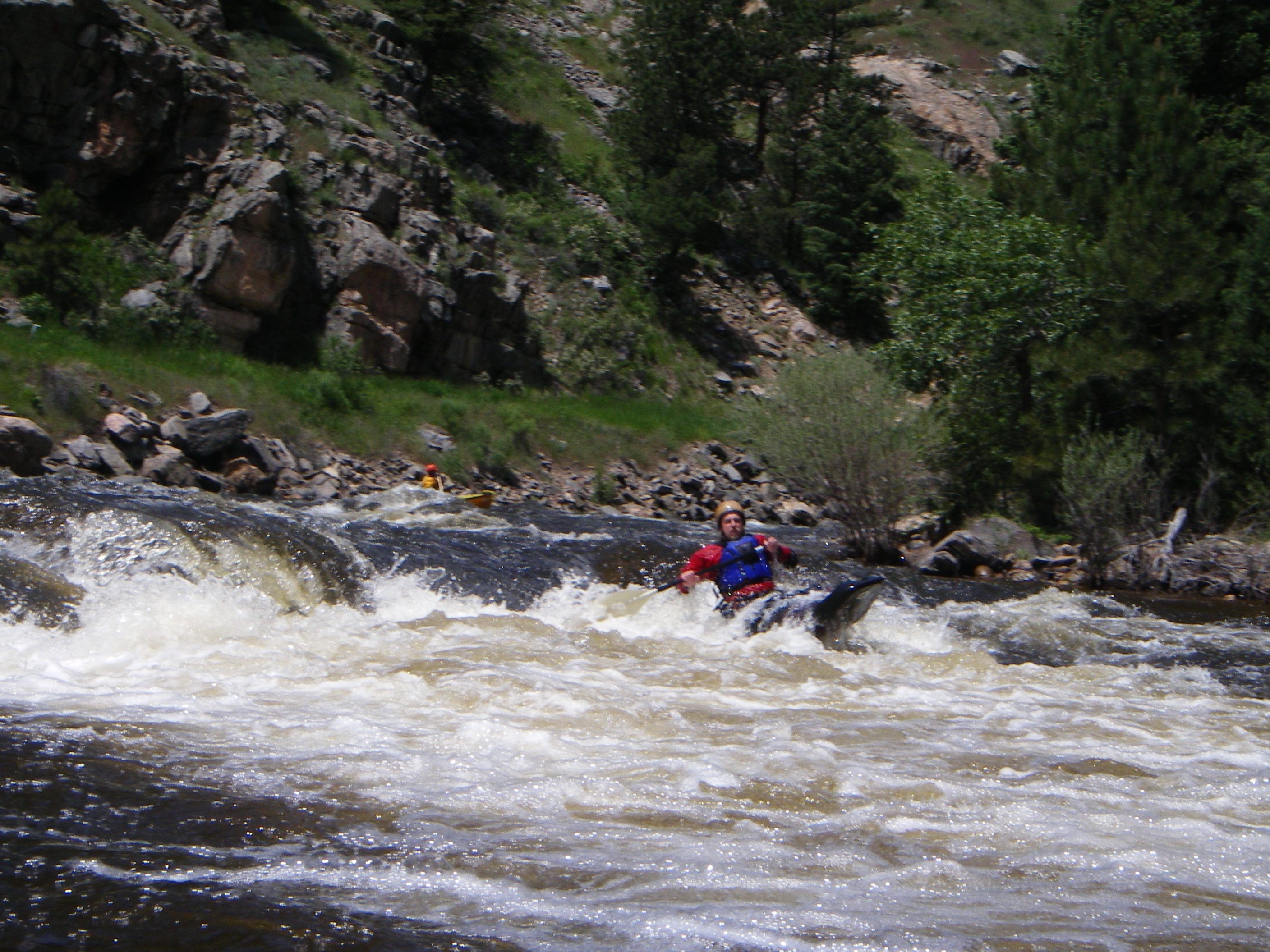
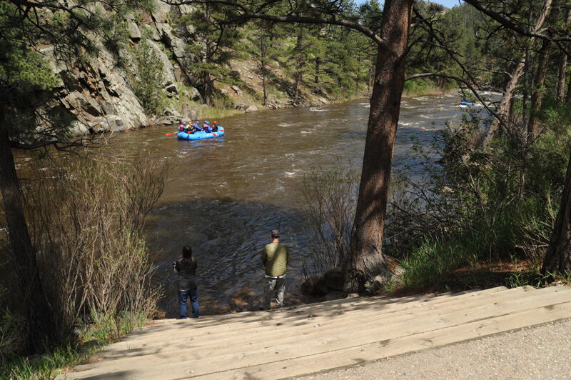
The river pours over (or around) two large boulders and drops a few feet. The right run is sharpest and most technical, the center is a fun drop, and there is a wide left sneak. This rapid is visible from the upstream side of the Poudre Park Day Use Area.
The Poudre Park Day Use Area has parking, a pit toilet, and a set of concrete stairs leading to the river. This access is located at Poudre Canyon Highway mile 110.7.
Jun 2, 2009
We just ran Lower Mish at 2.9ft: excellent level water, fast, rather pushy, but solid class III. Easily boat scouted except for one or two hair-pin turns...great section for someone wanting to move up from Clear Creek park to a class III. Actually easier than Boulder Creek at 300 CRS...
Jan 1, 1900
Photo courtesy of and copyright by www.allaboutrivers.com.