Cispus
1 - Goat Creek to FR 2160 (Super Slides)
Jun 7, 2007
While visiting WA from the East Coast (Eastern TN), we did our hike and shuttle exclusively on river right and it seemed like a relatively low hassle way handle the logistics for this run. It may or may not be faster and easier than the approach listed above - I'm merely posting to provide you readers with another option. We found this option somewhat accidentally - we misinterpreted the instructions from a friend who was actually trying to route us to the river left trail. All of the roads described below are shown in DeLorme's Gazetteer (at least the edition we were using).
To the take out: From Forest Road (FR) 12, head east on FR 2160 towards (but not all of the way to) the Cispus River. Take a left onto FR 2152, which should be your first left. FR 2152 meets FR 016 and 017 at a four way intersection. Take a right on FR 017 and head east down towards the river. The Klickitat Trail (Trail 7) intersects 017 at the dead end - it heads down to the river from the SE part of the informal parking area found there. If it's your first time using this trail, I'd recommend hiking down to the river and placing some sort of flag so you can find it when you reach the end of your run. If you're feeling a bit more adventurous, a description on finding the trail from the river is provided below.
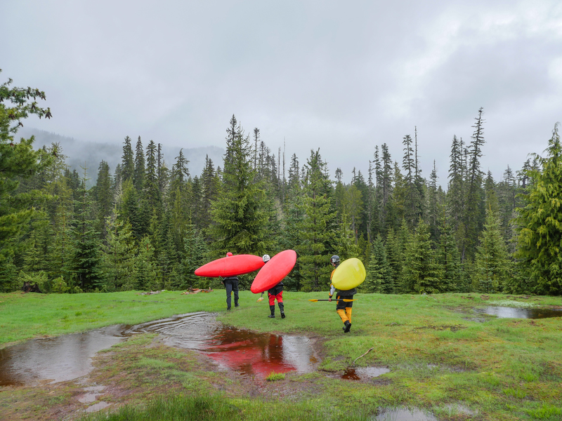
To the put-in: We did a fairly short bushwhack down the slope and put in about 200 yards above the confluence of Goat Creek and the Cispus, which prevented us from having to deal with the painful amounts of log jams reported to be upstream and from having to portage the marginally runnable waterfalls on Goat Cr. From the take out, back track on FR 017 to the 4 way intersection and turn right on FR 016. If you're at all concerned about the paint job on your rig, this road will make you cringe - lots of thick, low growing brush could tear it to shreds. As FR 016 begins to enter the clearing shown in 'Put-in' photo linked to this page, you'll see a 4WD track of to the right. We drove this tack about 100 yards then parked the car. We then hiked down this road and began bearing slightly to the right (downstream). Eventually, you should hit Goat Creek just above the confluence. Since there was a lot of wood everywhere, we ferried to river left which looked to be easier terrain to deal with ... there's also some impressive old growth on this side of the creek!
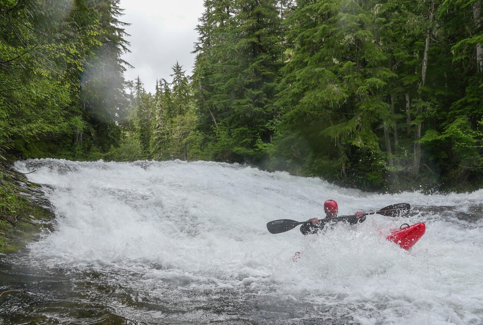
Finding the take-out trail from the river. Pass Walupt Falls. After some Class III, you can sense that the valley is opening up very substantially. When we did the run, there was a logjam here that could be snuck on the far left side of the right channel. The trail is just beyond this log jam on the right.