Ohio
Falls of the Ohio - Upper (1 mile)
| Difficulty | II(IV) |
| Length | 1 mi |
| Avg Gradient | 22 fpm |
| Gauge | Ohio River at Louisville, Ky |
| Flow Rate as of 39 minutes | 14.45 ftlow runnable |
| Reach Info Last Updated | December 17, 2019 |
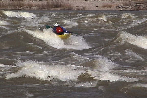
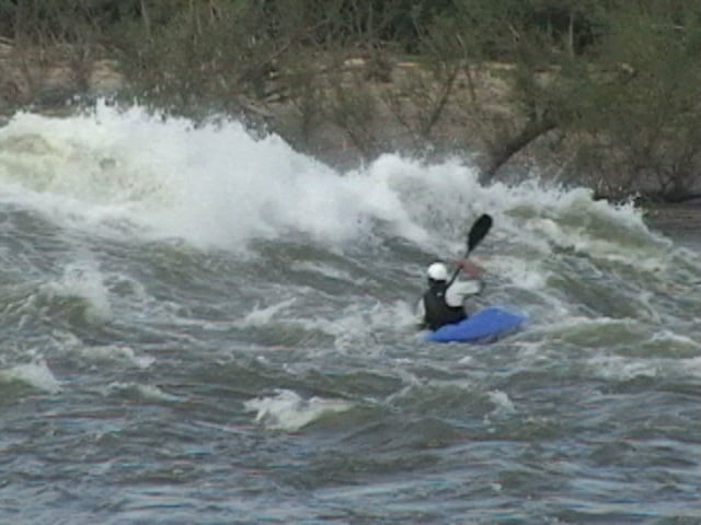
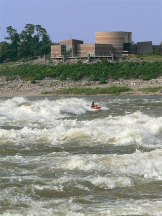
The Falls of the Ohio is one of the most distinctive paddling locations in the United States. Within sight of downtown Louisville, Kentucky, is one of the premier high flow runs.
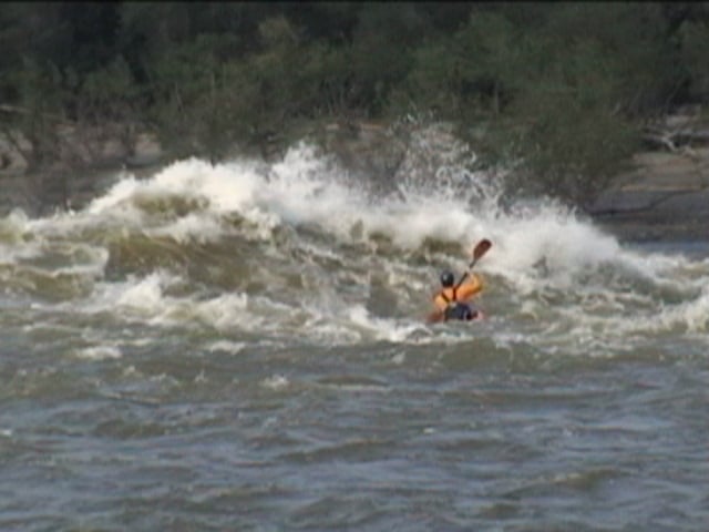
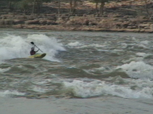
The Falls were originally a series of rapids formed by the exposure of a Devonian era coral reef which existed 350 million years ago. It is the world's largest exposed reef of this period. Today the McAlpine Locks and Dam control the river and expose the fossil bed along the Indiana shoreline. As water is released from the Upper Tainter Dam it flows over the exposed bed providing big water fun from (approximately) November till June. At higher water, the exploding waves appear, giving paddlers a quick, crazy ride from the dam down to the interpretive center.
The Falls of the Ohio is a National Wildlife Conservation Area. Please do not disturb any birds nesting or remove fossils. For more information see the Falls of the Ohio State Park website.
Directions:
Take Exit 0 from I-65 and follow signs to the Falls of the Ohio Interpretive Center. No shuttle for this fun, the interpretive center is both the Put in and Takeout. Just walk down the stairs to the river. Note:The State park is now charging a fee to park, you may avoid the fee by parking upstream under the railroad bridge.
There is also a Lower Falls of the Ohio site 1 mile down stream that is accessed via the clark boat ramp.
Map and Description: Putting in at the Interpretive center, a long eddy allows paddlers to make their way to the gates. From there cross the very large eddy line and enjoy the waves below. Be careful as wood often collects along the eddy line. Swims can be very long at the Falls; at higher levels, swimmers may be in the water for over a mile before they can reach the Indiana shore.
At lower levels the fossil b
...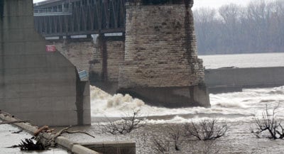
The eddy line at the dam is very strong, it can give even the best paddlers trouble at times.
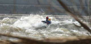
Usually is in play between 19' and 20' of pool. The wave pushs towards IN, so keep the bow towards Kentucky.
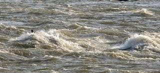
Indiana side just downstream of the Far Right Indiana Wave. Water level is lower then when the Right Indiana Wave appears.
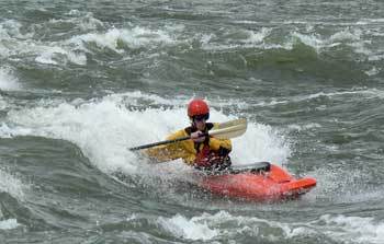
Walk up above the Pit on the Kentucky side, a great Medium sized glassy wave appears around 15' of pool. Beware a very large hole waits 100ft below. Punch the hole on the Kentucky side.
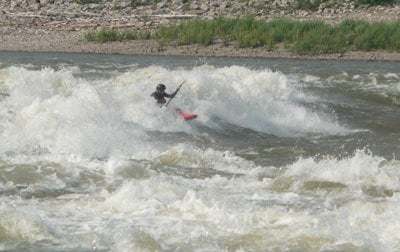
Walk up the Kentucky side, and ferry hard towards Indiana behind the large Diagonal at the Dam. Best levels are aroun 17' of Pool.
May 19, 2012
Ran this on 5/19/12, 22ft was the gauge. It was very pushy and unpredictable waves from all directions. Fun, yes, but the currant was very strong today and if you are not careful you will go pretty far down river..I would suggest only experienced paddlers go here.
May 11, 2004
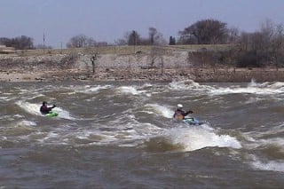
BIG STUFF
May 11, 2004
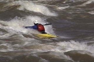
sandman surfing the goods on the falls of the ohio