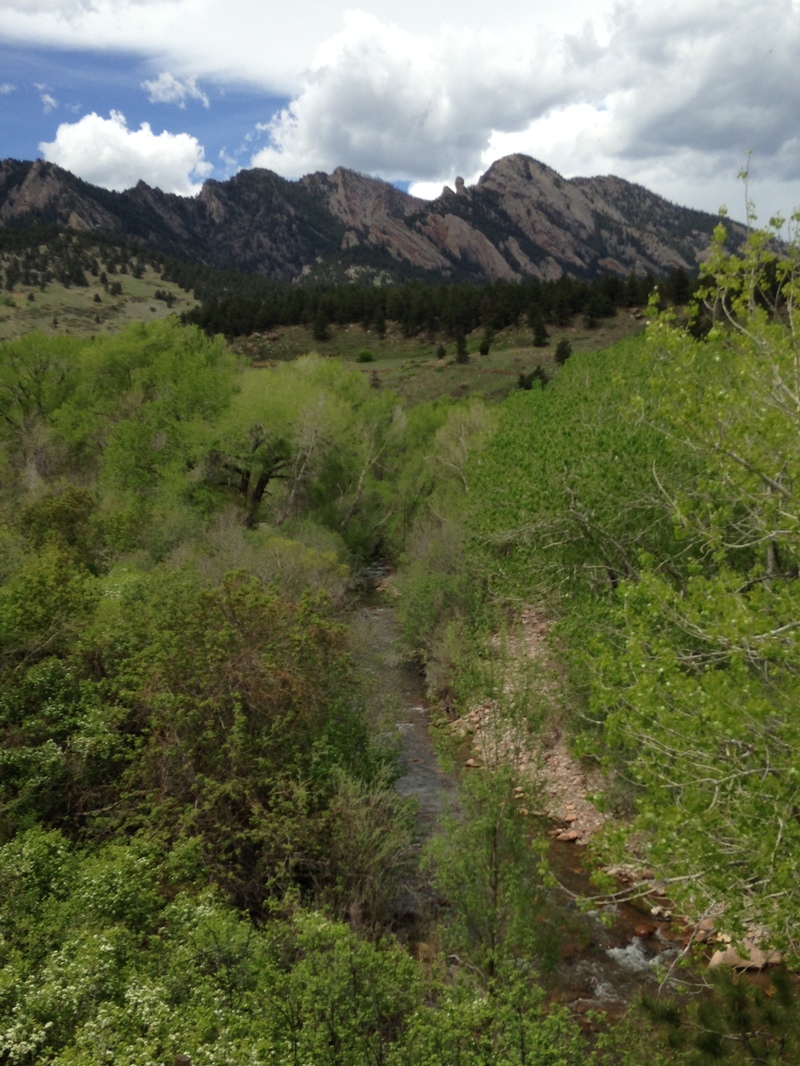
Boulder Creek, South
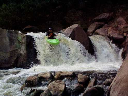
04. Eldorado Canyon(Eldo)

| Difficulty | V+ |
| Length | 0.63 mi |
| Avg Gradient | 350 fpm |
| Gauge | South Boulder Creek Near Eldorado Springs, Co. |
| Flow Rate as of 14 hours | 14 cfsbelow recommended |
| Reach Info Last Updated | July 16, 2026 |
The run is classic class V front range boulder garden steep mank, but can also be very high quality and serve up some of the cleanest boofs around. You will still knock a few rocks, especially at lower levels. At any level it is solid class V with severe consequences. Sadly, it is very short and is essentially a park and huck, but it is easy to lap! It is split into three micro-sections that can be lapped individually. The three micro-sections increase in difficulty and consequence from bottom to top, allowing options for paddlers to step up or play it safer. You will have to buy a Colorado state parks pass to enter, and there is a reservation system in place on weekends.
This run follows a typical Colorado snow melt schedule: low in mid-May, high in June, and low in early July. It is dam released, so always be sure to check the level as the release does fluctuate. At low water (<130 cfs) this run is super-mank, no doubt about it, but the largest boof can be lapped as boof practice or a possible but stout place for downriver freestyle, although this will only appeal to locals. At medium levels (130 cfs to 250 cfs) this run is a fantastic boulder garden steep creek with many great boofs all stacked with no breathing room. At high water (>250 cfs) this run becomes a world-class stout that satisfies locals and travelers alike but is incredibly pushy and leaves no room for error. Everything is scoutable from the road and the essential beta is: do not run the waterfall that lands on rocks or the dam, but if you really love detailed beta keep reading.
You can drive up the dirt road to put on at the road bridge above the first micro-section. These rapids build in intensity up to the generic front range class V mank, but they often collect wood, so scout from the road. There really aren't any drops or good boofs in this section and it is really manky, so locals almost always skip it. Still it is worth doing once a season, but don't let it sour you on t
...