Chocolay
Hwy.41 to Cty Road BH (Green Garden Rd) (5.7 miles)
April 17, 2009
| Reporter | Doug Heym |
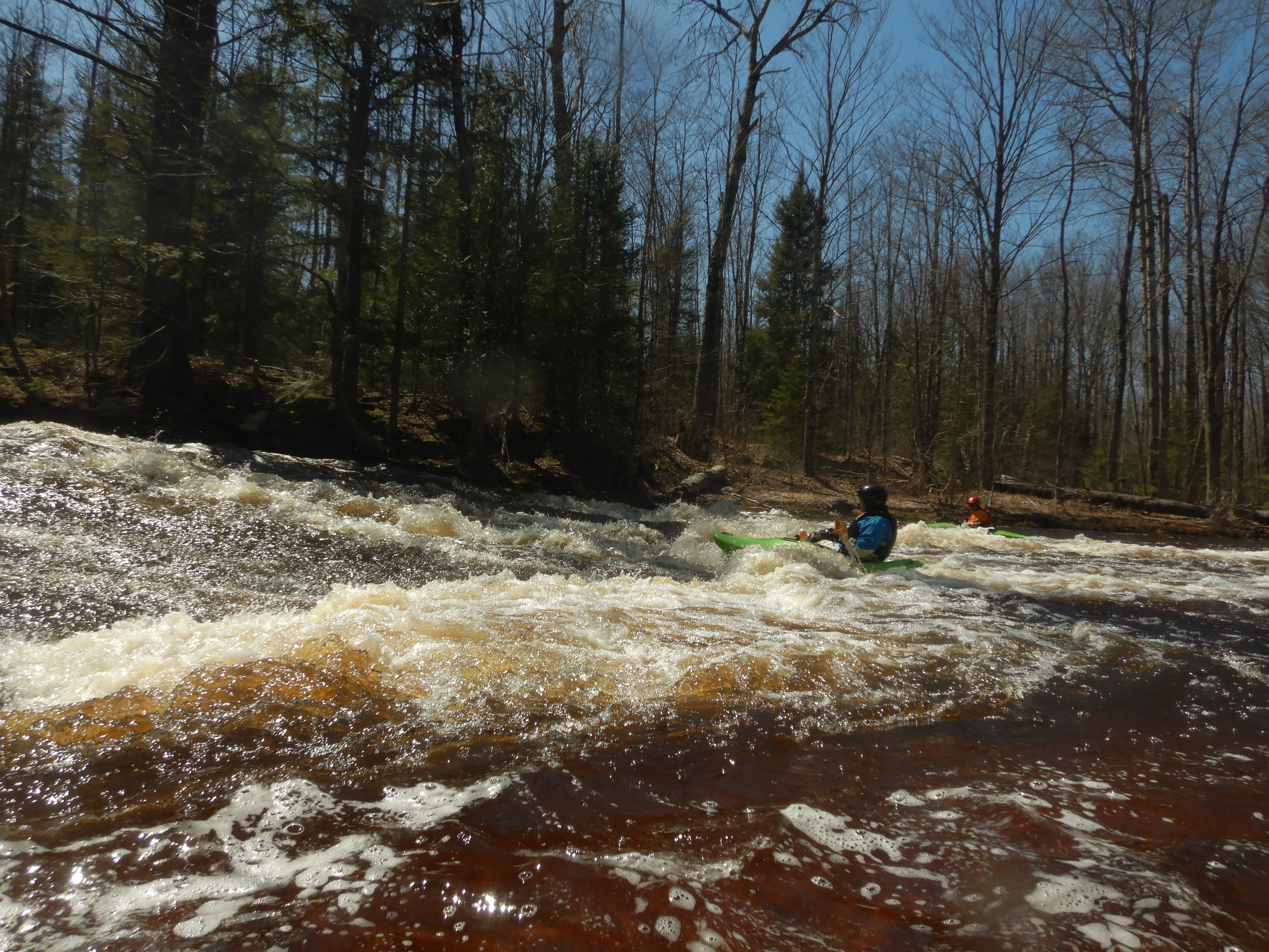
I ran this on April 15, 2009. From looking at the topo map and my paddling time, I believe it's longer then 2.2 miles. I took my time, played in one spot for about 45 minutes, and it took about 2 1/2 hours. There is a gauge on the river near M-28 and according to the USGS, the level on the 13th was 4.5'. They only take occassional readings. The level was probably less then this when I ran it. The water was in the banks and up to the grass line and tag alder. I don't think you would want to run it at a much lower level.
The first 1/3 was a pleasant class 1 run in a narrow, winding river. One tree to limbo under and one tree to portage around. You then come to a river wide ledge with a great play spot. Great for surfing, too shallow for any 'tricks', though I don't have any. Plan to play here as this turned out to be the best spot. The next 1/3 of the reach has a number of class 2 river wide ledges. These were getting a little shallow when I went through. This section also included a tree that I dragged over. The last 1/3, the river meanders, splits around islands and has a few rocks. The level was just runnable.
I walked the shuttle and it took about an hour to hike the 4 miles. There is good parking at both ends. At very high water this would/could be a class 3 with the downed trees and river wide ledges.