Cowlitz
3. salmon hatchery to Blue Creek access (The Lower)
Aug 22, 2025
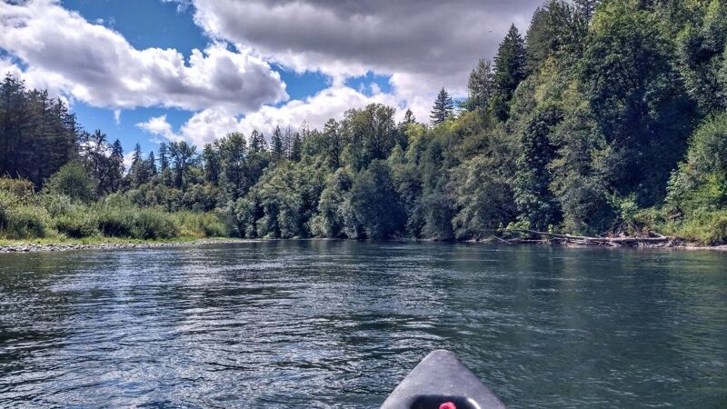
We canoed the hacthery to hatchery stretch in mid August in a tandem canoe. Flows were about 2400 cfs at the dam. Someone at the put in said this was a relatively low flow, but it was consistent all summer around this flow. Sirens went off a couple of times at the dam, which turns out to be noise deterrents for birds who come to eat the fish. They may also sound of bangs (gun? fireworks?) as deterrants as well. Flows could possbily fluctuate without any notice. They did not while we were there. It was a very quiet day on the river. Rapids are relatively easy, but good boat sklls are necessary as some rapids were on a fast bend. There was a snag about 5.5 miles down which took up most of the moving water path. Just to the left is a strong eddy line so overall a narrow part to sneak by the snag without getting caught in the eddy to be aware of. Very natural setting, not too many homes visible. We did a bike shuttle, but there were flyers at either end for a local shuttle company. Camping is allowed at the trout hatchery take out.
Mar 9, 2025
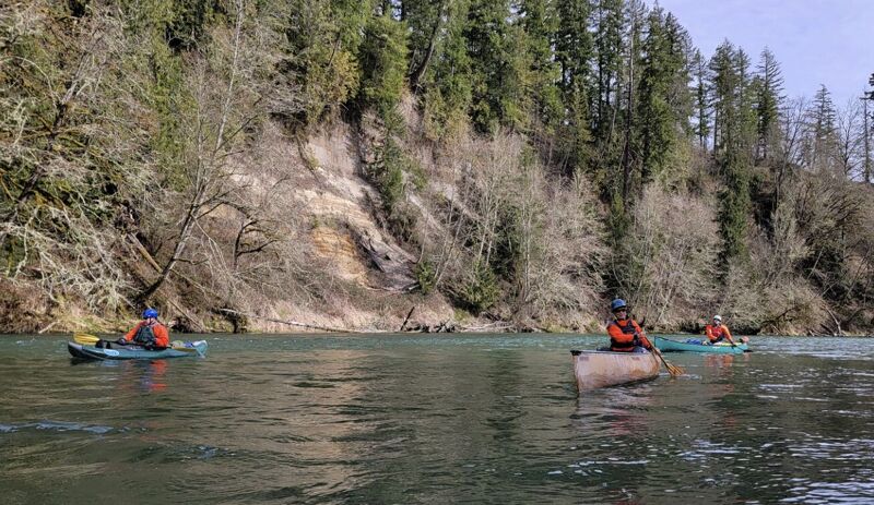
Four of us (2 canoes, 2 kayaks) from PTCC ran the 7.5 miles between the salmon and trout hatcheries. The current was fast, but even though AW says 5000CFS is above recommended, we didn't have any troubles.
We had a strong headwind that liked to push the canoes off course, but it was a pretty run, with lots of mergansers and other birds. We were on the river for just under 2 hours, including a 20 minute lunch stop. We only passed a few fishing boats until we got close to the trout hatchery, and all were easy to get by.
The AW map has lat/long coordinates for the hatcheries, but they're a little off. Here are more precise locations:
Put-in: 46.51608856335347, -122.63772465187431
Take-out: 46.48399636154291, -122.73061239133085
Jun 20, 2024
Packrafted from the Salmon Hatchery down to I-5 (21/22 miles) in about 4 hours with a friend new to the pastime. I'd read somewhere to estimate about 1mph per 1000cfs, and that proved pretty accurate. No notable obstacles aside from a fair number of motorized boats in the broader sections of the river and plenty of fisherfolk along the banks. At that level, there were several small wave trains along the first half of the route, and two or three in the lower half.
Aug 19, 2012
I ran this stretch on Sunday, 19 August for the first time when the flow was about 3000 cfs. This was a great level. I only scraped the bottom once, and that was because I took the wrong channel. I ran this in an inflatable kayak (Tributary Tomcat Tandem) with no problems. The rapids were very easy Class II. I saw lots of people out in Intex inflatable rafts and recreational kayaks with no sprayskirts, and they seemed to be fine. There were not a lot of strainers, but there were about three places where the current would pull you into a strainer if you let it. One in particular was on a curve to the left, where the current pulled strongly to the outside under a low-hanging tree. Fortunately it's easy to avoid, as long as you're alert.
This is my new favorite river in the immediate area for solo floats.
Oct 30, 2010
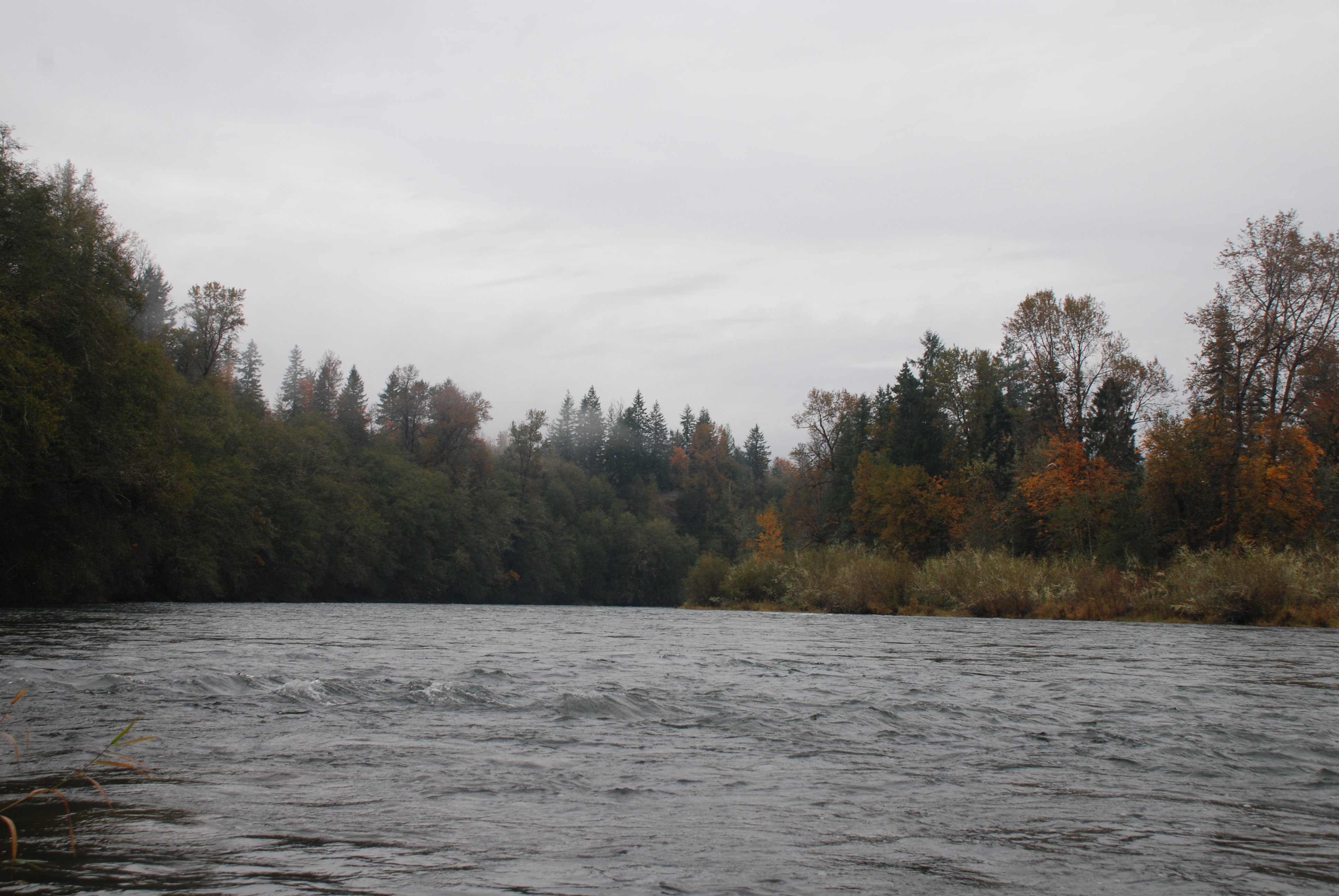
My son Aki and I took the canoe out and did this run, fishing along the way. The river was busy with several jet boats and drift boats out fishing. There were sections of swift current and minor rapids. It's a good open canoe run for those who have experience and the skills to safely navigate in moving water. We were able to find a local woman who runs shuttles for fishermen so logistics were relatively simple.