Tye, South Fork
Rte. 56 to Nash
| Difficulty | V |
| Length | 5.9 mi |
| Avg Gradient | 219 fpm |
| Gauge | Tye River Near Lovingston, Va |
| Flow Rate as of 35 minutes | 15 cfsbelow recommended |
| Reach Info Last Updated | September 22, 2024 |
Thanks to Mike M., here is the footage of an early run on the South Fork Tye:
www.youtube.com/watch ( http://www.youtube.com/watch?v=c9RrE29VqJ0 )
Greg Gil (in the blue Corsica) was also along for our first descent of the North Fork and he shot video of that. If anyone knows where he has gone please let me know and i'll try to get that footy as well. Thanks, Gordon Dalton
***The map being auto-generated by the AW Website is not accuate. It shows both sections of the South Fork. Note that the put-in is not accurate for this section of the SFT.***
The South Fork Tye is the sister run to its nextdoor neighbor, the famous North Fork Tye. They make a great combination of runs to hit in the same day. Or set an even loftier goal of getting a 'Full Nelson' - runs on four of this area's short class V runs. (Forks of the Piney, Statons Creek, South Rockfish, and several other fun class V runs are within a half-hour radius).
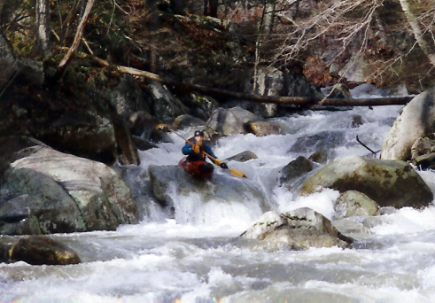
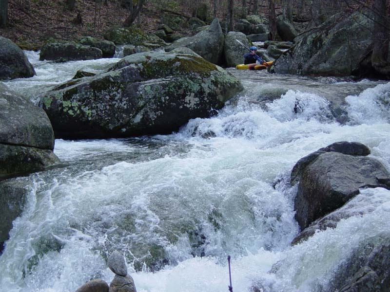
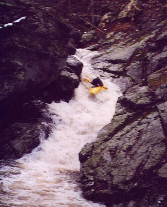
The South Fork Tye (SFT) is not quite as 'defined' as the North Fork, but its signature rapid - Fodderstep - is arguably biggest drop of these two streams. Although it doesn't have as many 'big' drops as the NFT, the South Fork is actually slightly steeper; probably because it is even more continuous. It never lets up. The stream could be described as continuous class IV+ to V- boulder gardens, with a constant threat of strainers or fallen logs.
If you are looking for easier parking/access, or just a shorter option, consider putting-in at the Crabtree Falls Parking Area. (37.85106, -79.07898) This is a National Park fee area but provides easy access to a little more than half of the run. There is also a working pay phone near the creek in the lower parking area here. This lower section includes Limblog, Jeff's Jolly, and Fleckenstein's, but does not include Fodderstep.
The take-out for this section is the confluence of the South Fork Tye and the North Fork Tye, near Nash, VA. A new landowner has strung bard-wire fence all the way to the state bridge here, making access difficult recently. Most folks park nearby a short walk up the North Fork Tye at the church on North Fork Rd.
The put-in map being auto-generated by this website may not be correct. For this section of the South Fork Tye the put-in is the Rt. 56 bridge that is around 3.7 miles upstream of the confluence at Nash, VA. The put-in is a state highway bridge but respect nearby private property.
Jan 1, 1900
The S. Fork lacks big distinctive drops like its sister, the N. Fork*.
It does boast consistent gradient and massive boulder gardens.
Lot's of texture to keep a paddler very busy for the duration
of the trip.
*The glaring exception to this generalization is Fodder Step,
which is possibly the most exceptional rapid on either stream.
Quicktime movie: Download free player at http://www.apple.com/quicktime/download/