Sullivan Creek
1. Mill Pond to N. Fork Sullivan (Upper)
| Difficulty | II |
| Length | 1.6 mi |
| Avg Gradient | 53 fpm |
| Gauge | Sullivan Creek Above Outlet |
| Flow Rate as of 1 hour | 31 cfsbelow recommended |
| Reach Info Last Updated | August 9, 2021 |
SUMMARY A power company built 2 dams, power houses, diversion pipes, and transmission lines on Sullivan Creek in Northeast Washington almost a century ago. The project fell into disrepair in the 1950’s and in 2007, project owner Pend Oreille PUD asked the Federal Energy Regulatory Commission (FERC) to give [...]Read More
This section is actively undergoing instream channel work (2020-2022) that includes adding massive numbers of trees to the river. It is likely that this work will render the river non-navigable. Approach with caution or avoid this reach until the extent of the recreational impacts are known.
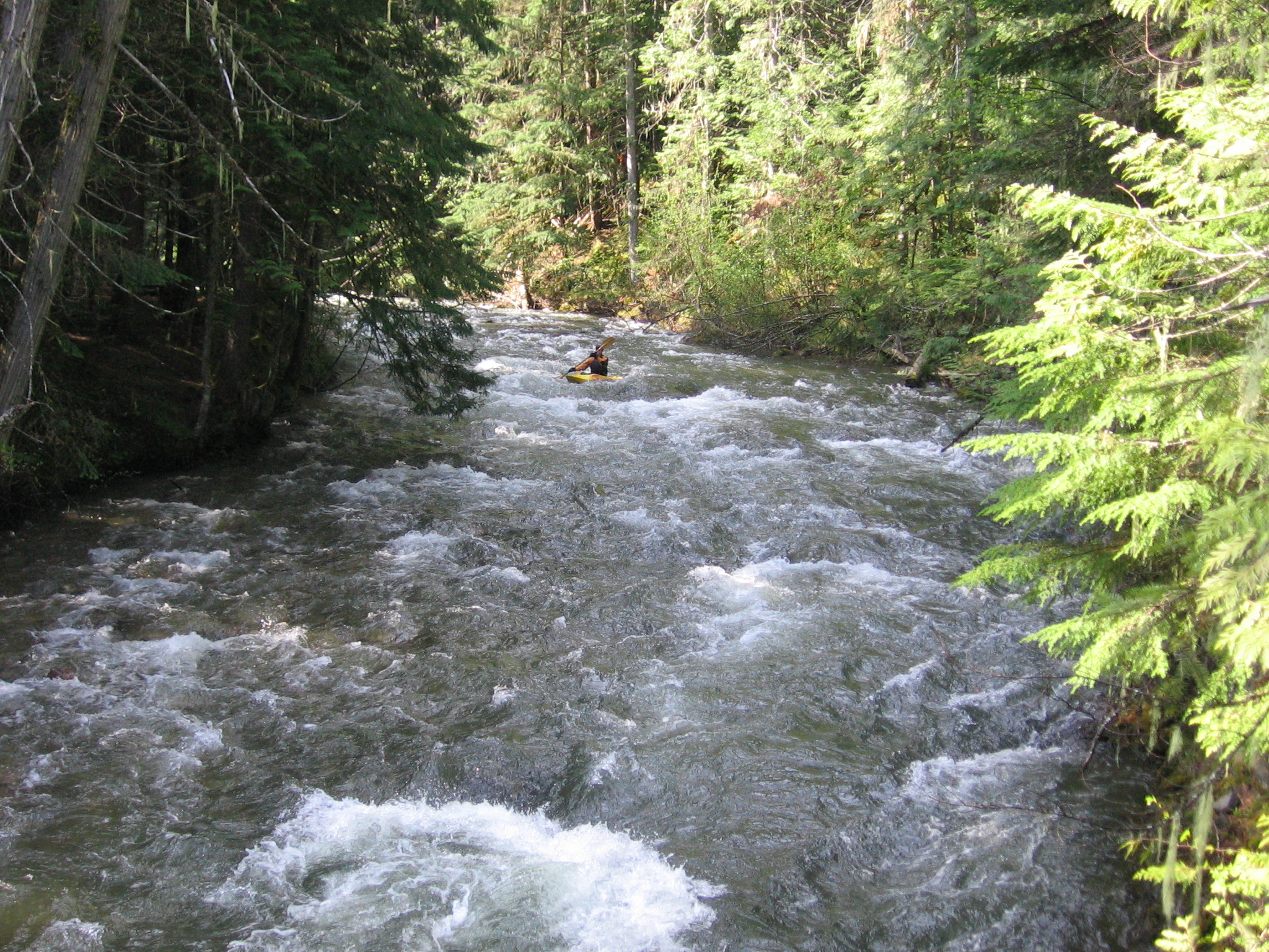
It is, or was, a pleasant class II+ section with some interesting geology and pretty cedars.
Nov 14, 2017
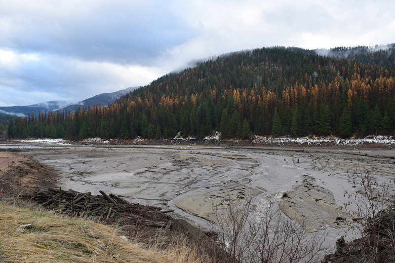
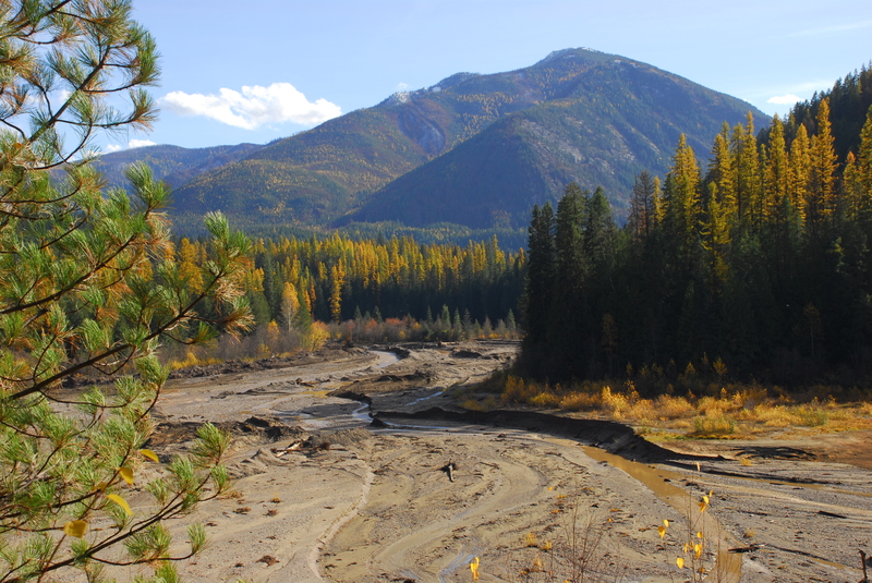
With the dam removal completed this week, Sullivan Creek was carving into sediment to find its historic channel, with some help from excavators and a 600cfs pulse flow. 11/14/2017.
Oct 23, 2017
Nov 20, 2009
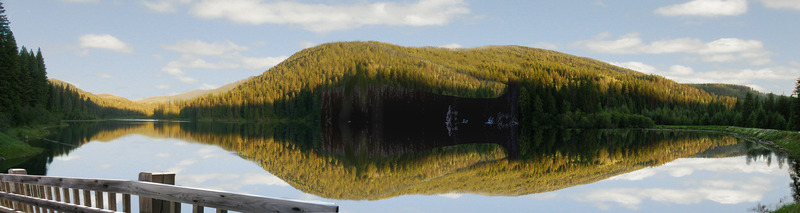
These images were created by Cody Erhart on behalf of American Whitewater. It uses photographs, bathymetry data, GIS layers, and original artwork to depict what a restored Sullivan Creek might look like following removal of Millpond Dam
Apr 25, 2005
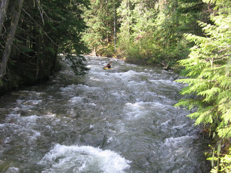
Upper Sullivan was a pretty and fun Class II+ run with good camping and great water quality. I paddled it this day solo for breakfast.