Sullivan Creek
1. Mill Pond to N. Fork Sullivan (Upper)

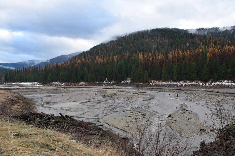
Nov 14, 2017
With the dam removal completed this week, Sullivan Creek was carving into sediment to find its historic channel, with some help from excavators and a 600cfs pulse flow. 11/14/2017.
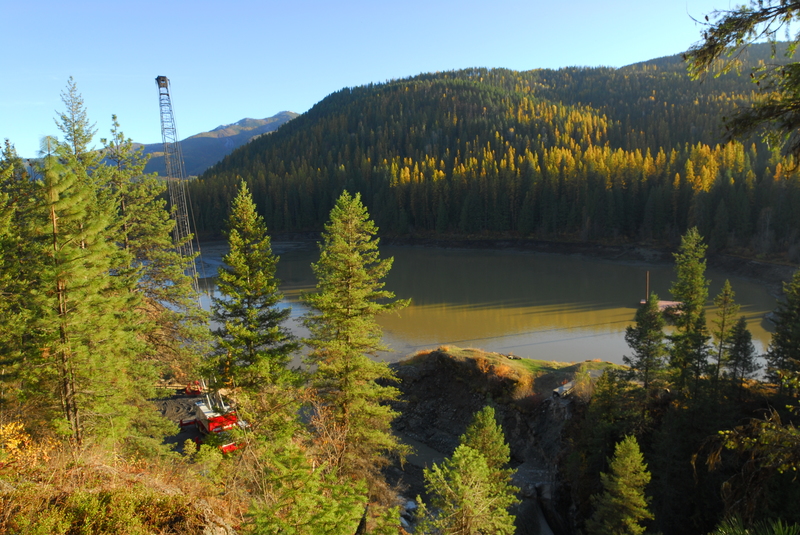
Oct 23, 2017
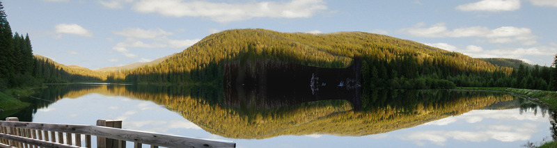
Nov 20, 2009
These images were created by Cody Erhart on behalf of American Whitewater. It uses photographs, bathymetry data, GIS layers, and original artwork to depict what a restored Sullivan Creek might look like following removal of Millpond Dam
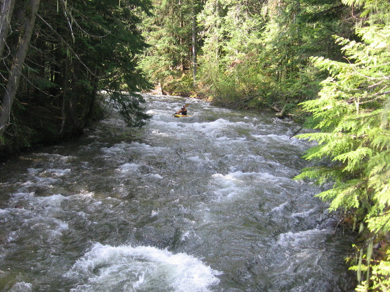
Apr 25, 2005
Upper Sullivan was a pretty and fun Class II+ run with good camping and great water quality. I paddled it this day solo for breakfast.