Ingalls Creek
Ingalls Creek Rd. to Peshastin Creek
| Difficulty | IV |
| Length | 0.6 mi |
| Avg Gradient | 150 fpm |
| Gauge | Peshastin Cr. @ Green Bridge Rd. |
| Flow Rate as of 1 hour | 8 cfsbelow recommended |
| Reach Info Last Updated | July 17, 2022 |
The Okanogan and Wenatchee National Forests encompass more than four million acres and are jointly managed with headquarters in Wenatchee, Washington. The rivers flowing through these forests are essential to the whitewater paddling community—both as close-to-home runs for Washington residents and as classic objectives for paddlers traveling from across [...]Read More
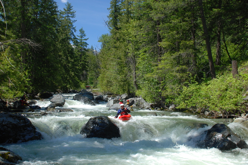
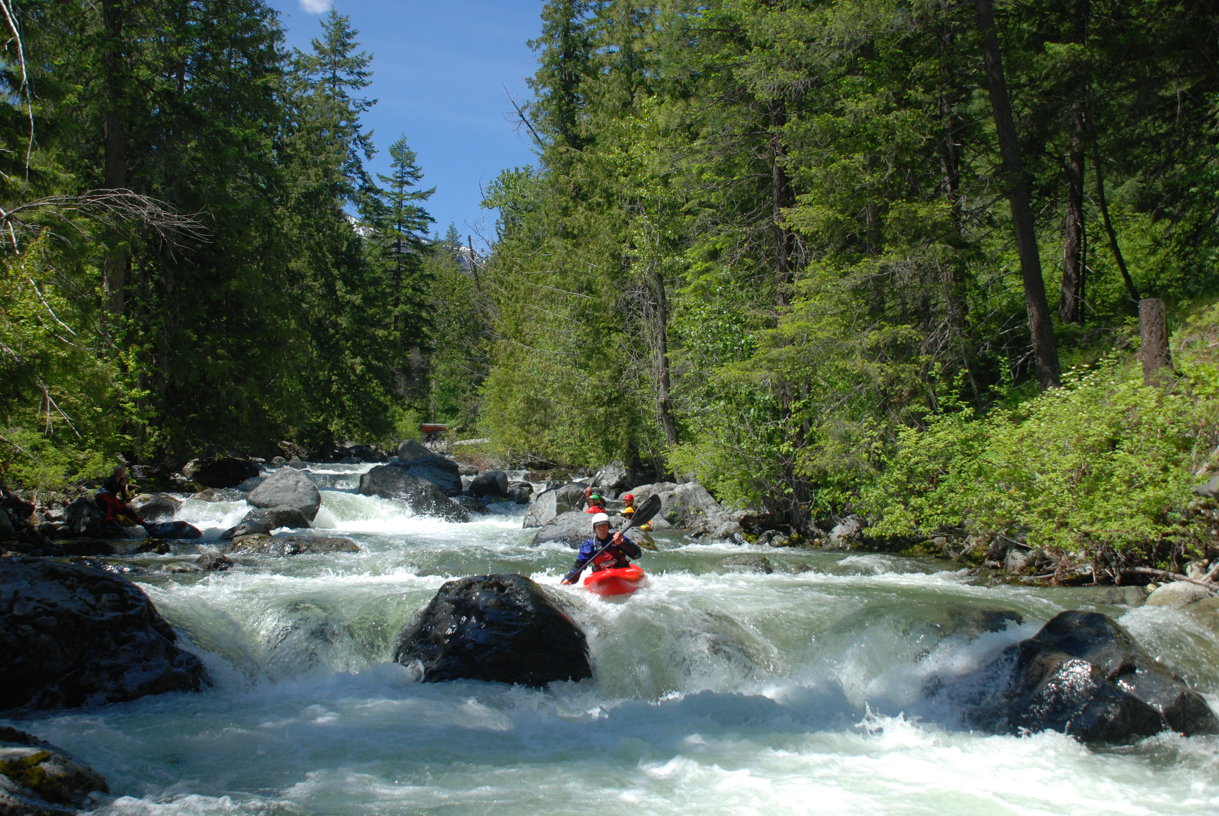
Description: The run starts off with a bang and the biggest rapids are all visible from the bridge at the put-in. You can scout this short sequence or carry down and put-in a little lower on river right. After this introductory sequence of class IV rapids, the run back off to easier class III/IV but it's all very continuous and you need to stay alert for wood. The shuttle is short, so you can run laps. This run is a great place to develop your creeking skills and provides a fun option to either round out a day on the Wenatchee or extend a trip on Peshastin Creek.
Logistics: To reach the put-in, turn on Ingalls Creek Road from Highway 97 (nearest town Peshastin). As you turn onto Ingalls Creek Road, you will cross a bridge over Peshastin Creek that serves as the take-out. An alternate take out is a short distance up river, at a long pull-out along Highway 97 at mile 177.2, at the confluence of Ingalls and Peshastin Creek. Alternatively, you could just continue down Peshastin Creek. To reach the put-in, continue up Ingalls Creek Road 1.1 mile to the Forest Service Inall's Creek Trailhead (Forest Pass required) and put-in downstream river right at the gated bridge.
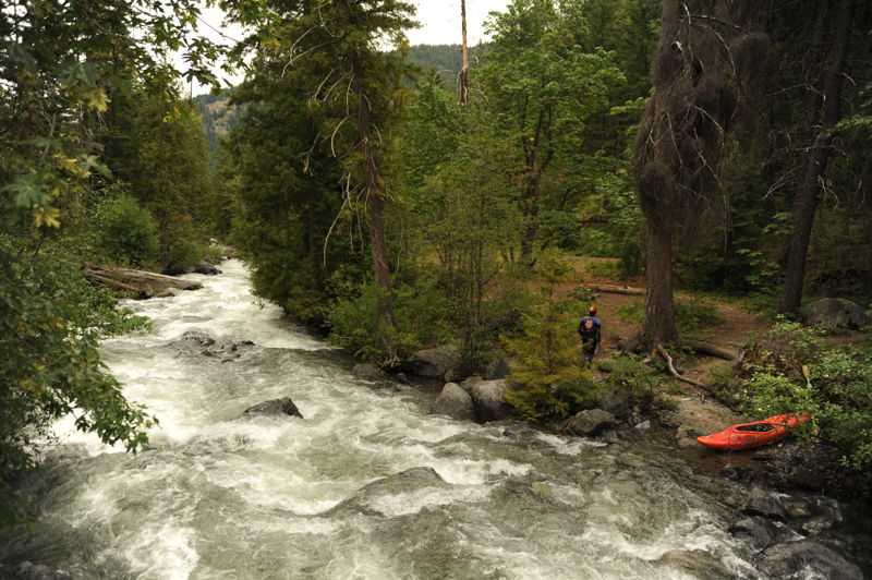
Put-in on the downstream river right side of the bridge at the Ingall's Creek Trailhead.
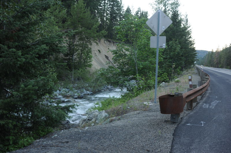
You can take-out here but most continue on downstream to Peshastin Creek. This access is at Highway 97 mile 177.2 at the downstream end of a large pull-out where you will also see a sign for the Wenatchee National Forest.
Jul 14, 2022
Jun 6, 2021
This short segment of Ingalls Creek was a great introductory sequence for a run continuing on Peshastin Creek. The Wenatchee was running 12,300. The rapids were very continuous, with several one-boat eddies, and we had to stay alert for wood hazards. We found the run clean with a few pieces of wood in play.
Jun 10, 2012
We started this trip on Ingalls Creek and continued on to Peshastin Creek.