| Difficulty | V |
| Length | 1.7 mi |
| Avg Gradient | n/a |
| Reach Info Last Updated | May 26, 2025 |
River Description
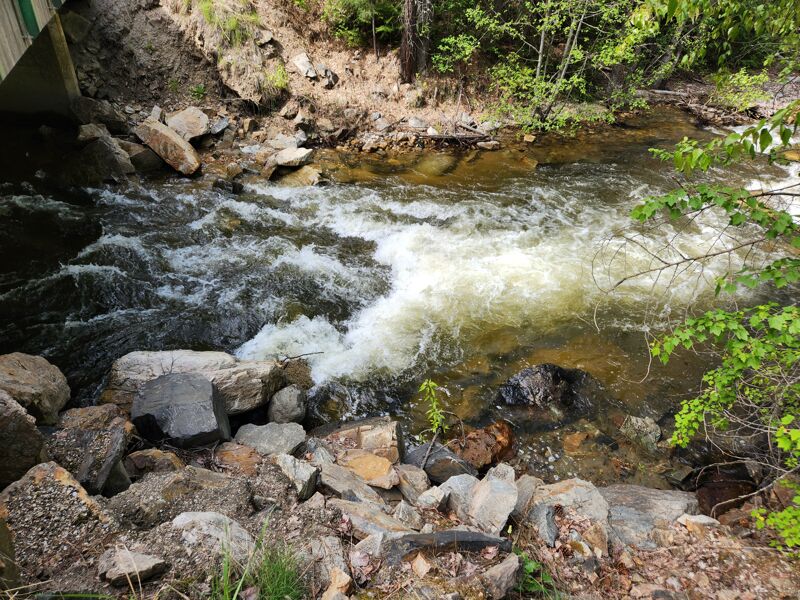
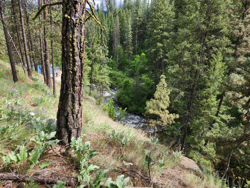
The final mile or mile and a half of Sherman Creek above the Columbia River is a serious whitewater gorge. From the put in you will float through some class II-III warmup rapids for about a quarter mile. If you have any reservations this is your last reasonable chance to walk out. The creek plunges into a gorge with nearly vertical rock walls that tower over 100 feet strait up from the river. The next mile has some serious rapids. There are both sharp black lava rocks and of course wood hazards. Scouting is not easy prior to the run but a drone will help since this is almost roadside for a good portion, just 100 feet below the highway. In 2025 there were several wood hazards.
It is possible to hike in and out of the gorge on river left about half way down the canyon where the forest slopes come down to near the river. This does allow for scouting some of the rapids. It is suboptimal for hiking a boat out.
A final warning after the abandoned arch bridge over the river you will find 2 – 3 more turns and the fish hatchery. There is a low head dam at the hatchery that presents a hazard for boats. Do not accidentally float into this hazard. From there the river widens and the float out into the Columbia is either a short few yards or a wide gravel bed with sandy banks. The takeout is on the left.
River Features
Fish Hatchery Dam
PortageHazardDistance: 1.53 mi
Don't die. You already made it through the big stuff. There is a sketchy dam just at the fish hatchery. Possible portague on river right.
Take out
Access PointDistance: 1.74 mi
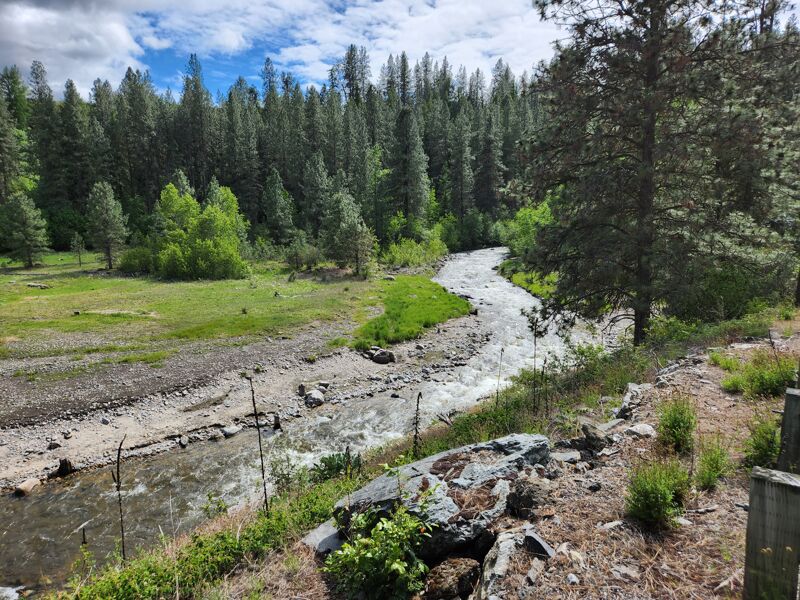
Depending on river height you will hit a lake or a final flatwater stream. Hike up to the road.