Tyger, North
Route 231 to Route 113
| Difficulty | II(III) |
| Length | 7.2 mi |
| Avg Gradient | n/a |
| Gauge | Tyger River Near Delta, Sc |
| Flow Rate as of 156 days | 333 cfsstale data |
| Reach Info Last Updated | March 17, 2002 |
Instructions to the Put-In
Take Exit 35 (Woodruff & Walnut Grove) from I-26. This exit is between Clinton and Spartanburg. This will put you on the S J Workman Highway (Highway 50). Turn whichever direction and go to the CitGo station. From the main sign at the CitGo station, head West toward Woodruff along the S J Workman Highway. Go 0.2 miles and turn right on Price House Road (Highway 86) (the turn is just past the Kingdom Hall of Jehovah's Witnesses). At 1.5 miles, you will cross Ferguson Creek that feeds into the South Tyger which can be seen to the right. At 2.7 miles, you will cross the South Tyger at Price Bridge. At 3.1 miles, you will reach a stop sign at the intersection with Hobbysville Road (SC Road # S42-229). Turn right. Continue down Hobbysville Road. At 0.7 miles, bear left onto Morris Bridge Road (South Carolina Road # S 42-231). At 0.9 miles from stop sign at the intersection with Hobbysville Road you will cross I-20 and at 1.1 miles you will reach the put-in. We always park on the left in the inside of the curve before you reach the river.
Instructions to the Take-Out
Go 1.1 miles from the North Tyger put-in until you reach Hatchett Road. Turn right on Hatchett Road and go 2.3 miles until you reach Walnut Grove Road (S 42-50). Turn right and go .8 miles until Old Hlls Bridge Road.* After about 1 mile, go right following Road 113. The take out is another 2.1 miles.
\* If you continue on Walnut Grove Road for 2.4 miles, you will cross the Tyger ( 34.7551N, 81.9274W) This is below the intersection of the South Tyger
...Jul 9, 2005
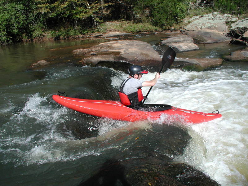
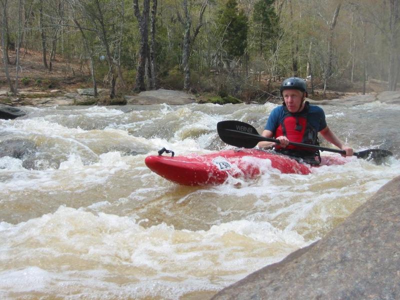
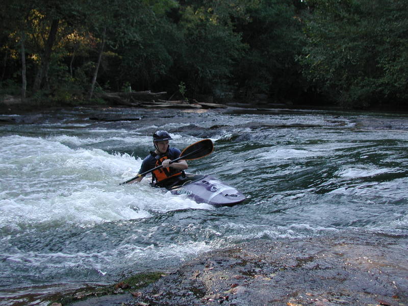
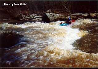
The Tyger is a step up from the Lower Green in that the rapids are larger and require more manuvering, although there are fewer rapids. The gradiant of the Tyger is only about 10 feet per mile compared with around 20' per mile on the lower Green. The Tyger is a Piedmont River and is similar to sections of the Middle and South Saluda in Greenville County as to the rapids and gradient. There is alot of flat water between the rapids so you get a good workout as well. The Tyger normally runs from around Thanksgiving until late May or early June. In good wet summers you can have some fun high water runs in hot weather. The online gauge on the AW site is for the Tyger in Union County some 25+ miles below the whitewater section of the river. IF there has not been a rain in a 3-4 days you can use it to gauge the level in the whitewater section or at least to have a decent idea of the level. The following figures are an estimate or correlation between the painted gauge on the put-in bridge and the online gauge:
600 cfs = -6'
700 cfs = -5
800 cfs = -4
900 cfs = -3
1000 cfs= -2
1100 cfs= -1
1200 cfs= 0
1300 cfs= +1'
and so on.