| Difficulty | II-III+ |
| Length | 6.4 mi |
| Avg Gradient | n/a |
| Gauge | Montana C Nr Auke Bay Ak |
| Flow Rate as of 5772 days | 83 cfsstale data |
| Reach Info Last Updated | July 15, 2024 |
River Description
Updated 7/15/2024
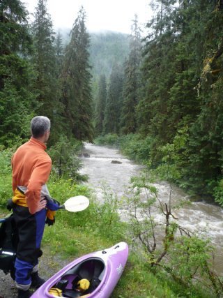
Park at the end of the road next to the steel bridge. Carry up as far as you please, scouting for wood along the way. Class III river, with easy moves. Main threat is log jams creating serious strainers and also foot entrapments from roots along the banks. Thick gardening gloves are a good option to throw in the boat in case you need to portage around log jams. Lots of devils club.
Prime flow Ive run it at is anything from 250cfs to 660cfs. While 250 is low, 660 was excellent.
Gage information does not match this webpage. Here is the most current gage info: https://water.noaa.gov/gauges/MCAA2
Original info below:
You'll have to drive to the end of Montana Creek road. Bring a bike or a wheeled rack to shuttle the boats to the put-in. A 4-wheeler comes in handy here or carry to the first footbridge across the creek about 1.5 miles up the road. This clear water stream is a nice break from the silty Mendenhall. You'll be able to scout the drops from the road, but not the sweepers on bends away from it. There are three main drops with intermittent (shallow) play spots all along. a 4th & 5th drop are below the parking area and you can take out along the archery range trails. What lies below here until the creek swings back to the road is ???? This is prime bear habitat and the CBJ trail hasn't been brushed for years so it is a bit of an adventure. Flat water and sweepers cover the rest of the creek till it meets with the Mendenhall. If you are fishing or doing a scenic float go on out to Brotherhood Bridge to take out. The watershed is small so you can't wait for this one, if the water is up go to it!
River Features
Put In
Access PointDistance: 0 mi
End of Montana Creek Road
OtherDistance: 1.84 mi
Take Out
Access PointDistance: 3.55 mi
Trip Reports
Log in to add a reportAP
Andrew Park
Jul 15, 2024
Ran the section from the first landslide down to the park bench.
Short section, perhaps 1/4 mile to 1/2 mile long.
Plenty of wood in the river but able to easily avoid all but one section upstream of the bridge.
If you decide to run this, anything above 11.5ft is good to go. Just scout as you walk up from the bridge. You can put in much higher along the road. There is a complete log jam across the river that looks like a lowhead dam, while there is a decent recirculation, as long as you get enough speed and hit it nose first, you will go over the boil pool.
When the river is up the muddy water obscures the twisted roots hiding along the banks. If you swim, keep that in mind as there are plenty of entrapments that are not so obvious.
Solid class III at 600cfs that you can lap and have a great time on.
RI
Ramon Imel
Aug 28, 2011
600 cfs is really the minimum flow for this run. Only one mandatory portage, strainer, about halfway to the end of the road.
?
Untitled
Jun 22, 2007
Pleasingly plump.