Connecticut
Sumner Falls(Hartland Rapids)
| Difficulty | I-III |
| Length | 1.9 mi |
| Avg Gradient | n/a |
| Gauge | Connecticut River at West Lebanon, Nh |
| Flow Rate as of 50 minutes | 2070 cfsrunnable |
| Reach Info Last Updated | May 10, 2021 |
Sometimes called 'Hartland Rapids.'
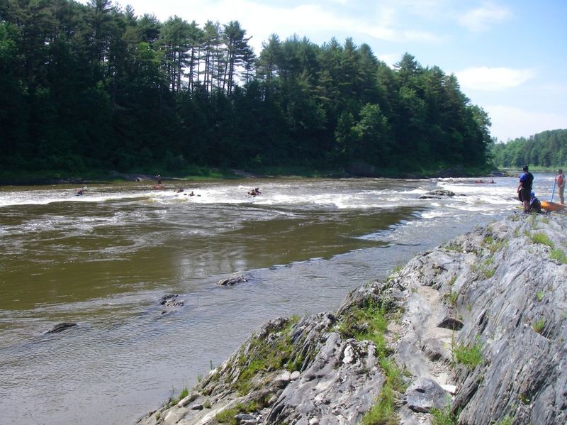
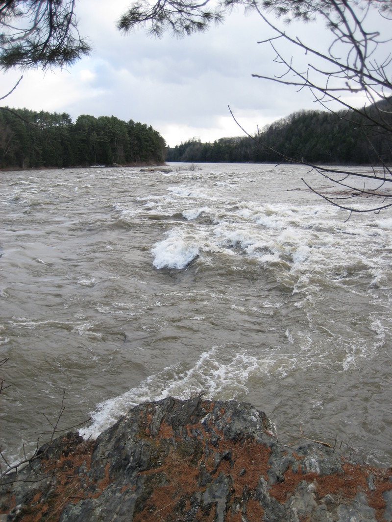
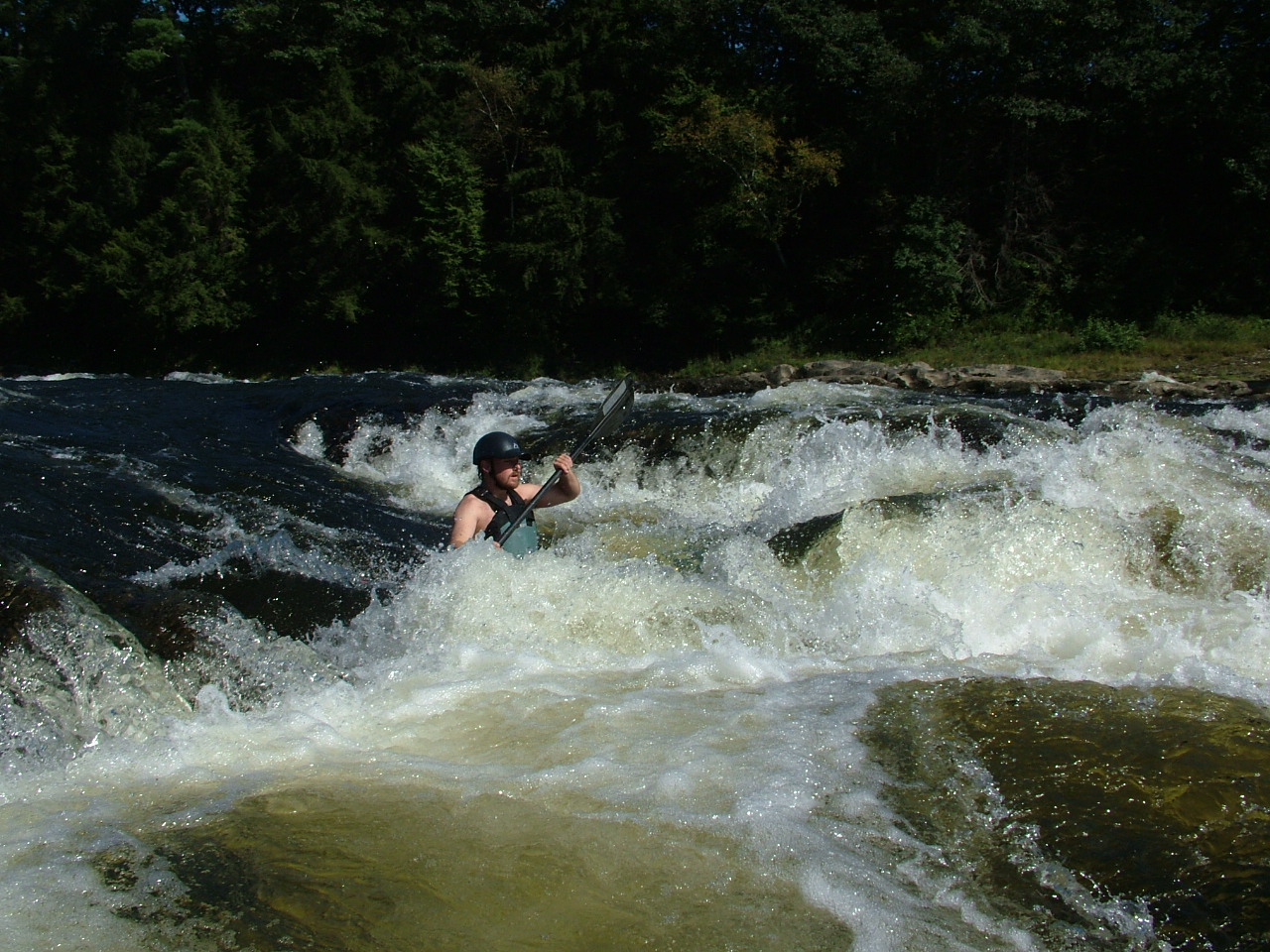
From the Northeast Paddlers' Message Board: Sumner Falls/Hartland Rapids is a series of ledges sprawled out across a wide section of the Connecticut River. Putin is at the beginning of the clearly marked portage trail. The simplest route down the rapids is to stay river left the entire time. In higher water you can drop down several of the small falls/chutes on river right. The wave is the first significant drop on river left, situated next to a large swirling eddy.
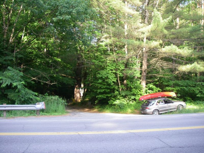
Directions: Take Interstate 91 North into Vermont to the Hartland exit (exit 9). Go left at the end of the exit ramp and go through the center of Hartland on Route 5 North. Continue on 5 North until you cross back over route 91. You will then immediately cross over a railroad bridge. After crossing the railroad take the second right (about 200 yards after the railroad bridge) onto a small dirt road and follow it to the end.
Check out the description in New England Nuggets from the AW Journal archives.

The ledge to the right of the large island drops all at once, and is shorter but more difficult. At certain levels, there are good boof spots here.
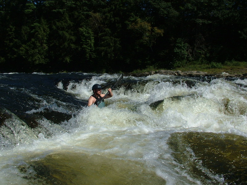
Everything to the left of the large rock island.
Long class II rapid with many surf waves. Just to the left of the island there is a chute that bypasses the last part of the rapid. At low levels (<5000), the last part of the rapid diverges. The far left channel is somewhat technical, whereas the line that turns sharply to the right is easier.
Another common line is to go down the wide ledge towards river center. Around 4000 cfs, this ledge has a small, but surprisingly retentive hole.