Cartecay
3. Stegall Mill Road to DNR(Lower Cartecay)
| Difficulty | II(III) |
| Length | 4.6 mi |
| Avg Gradient | n/a |
| Gauge | Cartecay River Near Ellijay, Ga |
| Flow Rate as of 46 minutes | 1.78 ftbelow recommended |
| Reach Info Last Updated | February 22, 2020 |
Most of this section of the Cartecay River runs through a residential area. There are no restrooms after you put in and most of the river banks are on private property. Local outfitters have restrooms and changing rooms. So, please take care of these needs before putting on. The outfitters are located on Lower Cartecay Road. You will paddle past cabins and homes on both sides of the river for most of this section. Most of the homeowners are friendly toward the boating community, but they do not want to see you nude, nor do they want you going to the bathroom in their yard. It is recommended that you keep your groups small and quiet and not stay too long at any one spot. In short, please be respectful to the home owners.
Visit 2. Lower Cartecay Road to Stegall Mill Road Road (Middle Cartecay) for more details.
Here is a tip for running the Lower Cartecay when the level is near minimum: Drive to the the take-out on Mulkey Road and look at the shoals there. If it looks high enough to run, it is. Remember the gauge is down river so it matters whether the level is rising or dropping.
Here is another tip. If you are comfortable with some easy but tight creeking and the Cartecay is running about 4', follow the yellow blazes at Clear Creek up to Timber Falls and run back down to the Cartecay. The hike is not bad and the reward is worth it for sure. Visit: 2.- Blackberry Mountain Road to DNR Takeout (Cartecay River) for info on this run.
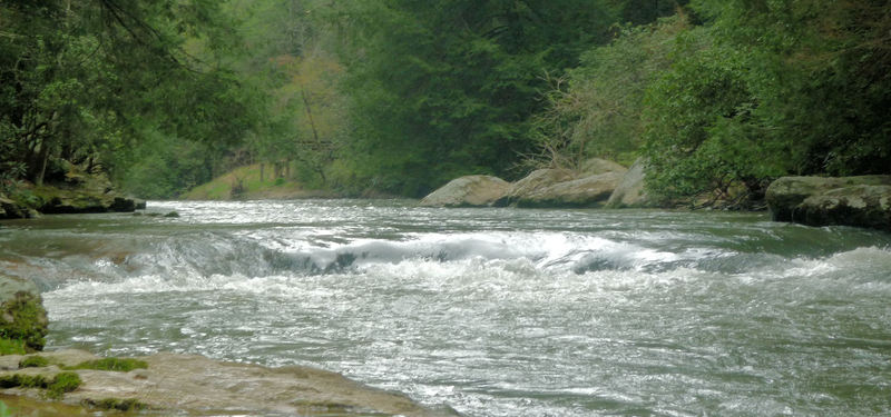
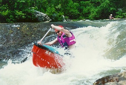
A small ledge drop with a rock in it. Run just to the right of the rooster tail created by the rock.
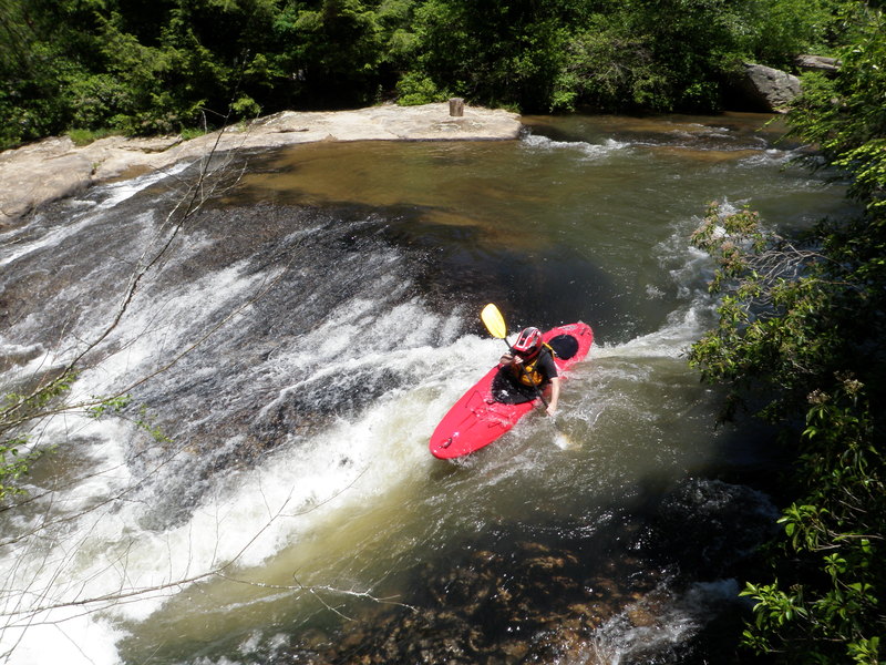
You will see some cabins high up on the ridge on river left. Usually you will see a bench on a rock on river left as well. Since the bench marks the entrance to the rapid, we call it the benchmark. Run this one down the center and punch the hole. The hole is grabby and will flip or surf an unweary boater. There is a large recovery pool after this drop.
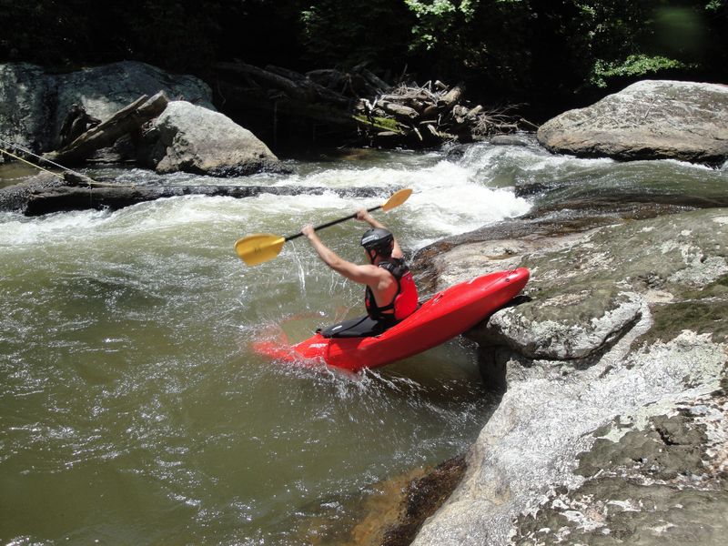
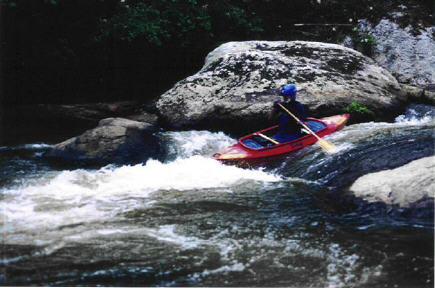
A long and technically challenging set of rapids. Kind of creeky. A pretty section of the river that offers beginners a chance to practice some easy creek moves.
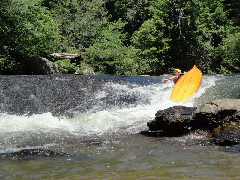
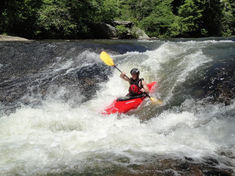
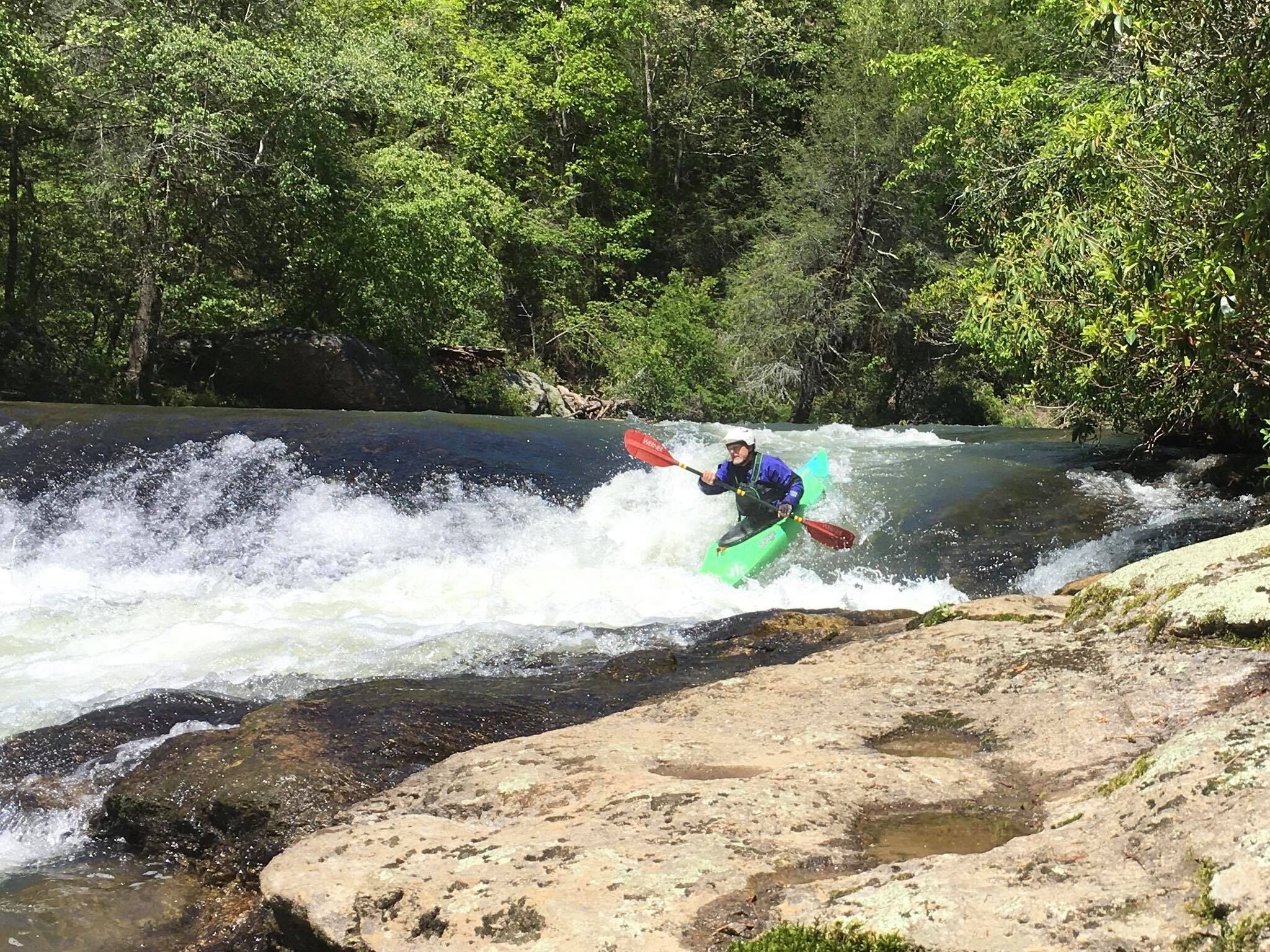
Hazards: Rocks on river left at the bottom of the drop and rocks with broaching potential in the middle of the channel after the drop. The 'Narrows' ends with a large eddy on river left. Eddy out here and boat or bank scout 'Clear Creek Falls'. Run this drop by lining up just to the left of the curler wave in the drop. Keep a slight right angle and paddle agressively. This rapid ends in a large recovery pool. At most levels the wave at the bottom of the drop is the best place to front surf on the river. However, don't flip. There are very nasty rocks just below the surface immediately downstream of the wave.
Apr 10, 2011
Made the full trip down to the DNR for the first time @ 2.3
Being a beginner, the hole on the right side of the bottom of Mr. Twister looked a little crazy and of course Clear Creek was very intimidating, but there was a nice straight line. Most of the videos I have seen of people going over the falls needed to make a move left over the curling wave at the top, but it was seriously a straight shot.
The Narrows was exactly like its description. A lot of quick moves and plenty of lines at the top. I chose the middle line instead of going around the right. The middle included a two foot drop into a area of aerated water. Caught me by surprised how far I sunk and found myself swimming.
At 2.3 I rode right over top of the rock that had 'broaching' potential. Not sure that is accurate at 2.3.
This run included a lot of fun whitewater. Wave trains and shoal rapids were scattered all over the first 3.5 miles. T
I wish someone had warned me of the last 2 miles... NOTHING BUT FLAT WATER! Oh my god.. it was horrible!
Not sure why this is named when there are plenty of bigger stuff further down that are unnamed. Straight shot with a little doink.
Apr 23, 2010
why sher little lady, the DNR takeout is behind the Transfer Station you pass on the right as you are going up the hill. Go past the dumpsters and there is a dirt road that winds downhill thru the woods and ends up in a gravel lot at the river. Sometimes it is gated shut at the first mudhole but it is still possible to hike in and out ... about as far a carry as most of the Chattooga access points.