Pemigewasset
3) North Woodstock–Woodstock
| Difficulty | II |
| Length | 4.4 mi |
| Avg Gradient | 27 fpm |
| Gauge | Pemigewasset River at Woodstock, Nh |
| Flow Rate as of 1 hour | 116 cfsbelow recommended |
| Reach Info Last Updated | April 11, 2022 |
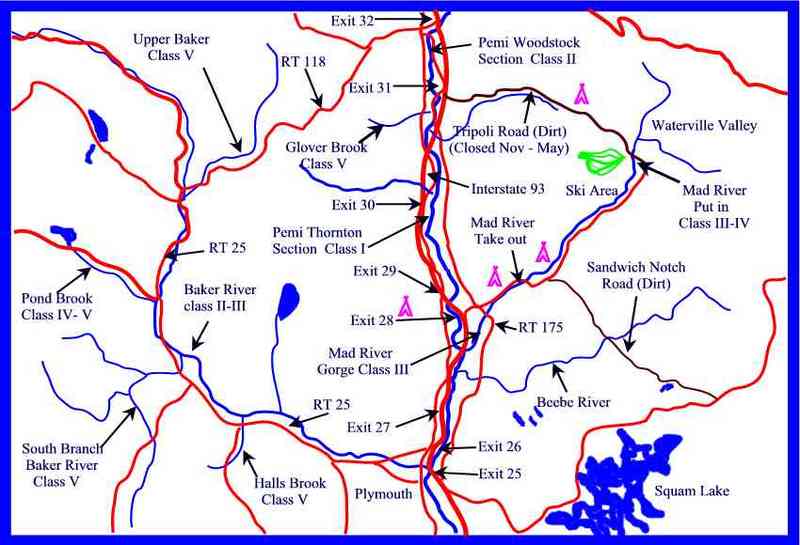
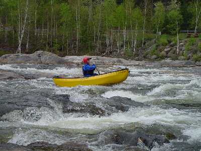
Class II river good for novice and intermediate paddlers. The two most difficult sections are right at the begining and at the take out. Both can be easily avoided by portaging.
Put in elevation........718'Take out elevation......605'Total drop..............113'Average drop/mile.......27'Distance................4.25 miles1st mile drop...........38'2nd mile drop...........30'3rd mile drop...........12'4th mile drop...........20'River width average.....40'River geology...........small granite boulders and lots of ledgeRiver water quality.....Good, clarity good.Scenery.................Good, but highway, homes, and a race track can be heard but are usually just out of sight.Wildlife................Deer, Moose, lots of hawks.From Rte Interstate 93, take exit 32 in North Woodstock. Take a right at the end of the exit ramp (from north and southbound ramps) and head west to traffic light about 1/4 mile
Left on NH route 3 South 1/4 mile to Woodstock fire station, left to parking behind station.
Continue south on NH route 3 from the put in.
1/4 mile take a left on NH route 175
Continue on NH route 175 for approximately 4 miles passing the exit 31 highway access. About a 1/3 mile after passing over the river look for 'Death Valley Road' on the right which is a short dirt road directly across the street from the 'other' Woodstock Fire station.
Another alternative way to get to the take out is to head back to Interstate 93 from the put in then head south
Take exit 31 and take a right then an immediate left on NH route 175 then continue as above.
The following is a list of campgrounds more suited for tents and small campers, there are a variety of private campgrounds that cater especially to RV's, they are not listed here but can be found in any national campground directory.
Hancock:
...Shortly after the put in is the second most difficult drop on this section of river. The Pemi, East Branch, and Lost rivers converge at the put in then makes a hard right up against a steep bouldered bank narrows to about 20 feet wide then takes a hard left. Shortly after this hard left a large boulder sits midstream of the narrowed channel. Avoid it by going to the right or left otherwise it can easily pin your boat. At medium levels there is an eddy on river right just before the sharp left turn. Catch this eddy for an easier line through the rest of the rapid. Carry river left should you decide this drop is too much to start with.
This rapid starts at a powerline crossing. The river takes a sharp left then cuts through a gravel section of the river. The left bank is steep and often feeds in new boulders each spring. This rapid is rather straight forward without much hazard but be aware of shallow boulder sieves in low water especially at the top and bottom of this drop.
Shortly after Poweline the river cuts through a fairly new channel. In the mid 80's the Pemi cut this new channel when a flood bypassed the old channel that went to the right above Powerline rapid. This new section is narrow and contains many old and new tree falls on both banks. Be especially catious at the end of the channel where a large tree blocks the left channel completely. As of May 2002 a small tree also blocks a good part of the right channel.
About 1/4 mile below a railroad bridge the river used to cut through a gravel pit. This gravel pit was used for the construction of Interstate 93 in the early 70's. A flood in the 80's rechannalized the river through the gravel pit for a number of years. Another flood in 1998 changed the course of the river again back to its traditional river bed. From a boating point of view the current river bed is more desirable. There are two class II drops in this section. The first one is a chute that heads straight into a bouldered bank. Avoid being slammed against the boulders by pulling hard to the right just after the river opens up wider. The second drop is another chute where the river takes a hard left. The lower part of this drop contains a fairly large hole/wave.
The final drop on this section is the toughest. It can be easily avoided by portaging on the right. If you decide to run it take out on the right and scout your line. The easiest line is to the right side of the ledge following the main flow of the water. At high levels this rapid can be very turbulent and rated class III.
Apr 10, 2025
I haven't seen it yet but there's apparently a new hazard under the lower Route 175 bridge. From the sound of it, a coffer dam has been contructed in teh river left channel under the bridge. The river rigth channel is apparently passable at some levels. Suggest pulling out on the sandabr river left above the bridge and scouting.
Jul 10, 2023
Agree with Frank - ran it at 1500 today and it was fluid save some bumpy spots if you missed the deepest water. I don't think it would be worth it if it was a heck of a lot lower. Low-medium flow I'd call it perhaps.
The rapids are quickwater and straightforward class two, with the final ledges rapid being a step up from the rest. It is easily scouted from the rock in river center at the start of the rapid if you wish, or just boat scout. Or just scout from the takeout before the run. At this level there are a bunch of ways through, but river right had the biggest wave to plow through.
Great reach for practice or newer paddlers, or just to get wet and explore a new spot. I wouldn't say this is a thrilling run for class 3+ paddlers however.