Davidson River
1. Forest Service Road 475-A @ Cove Creek to Low Head Dam(Upper Davidson)
December 2, 2009
| Reporter |
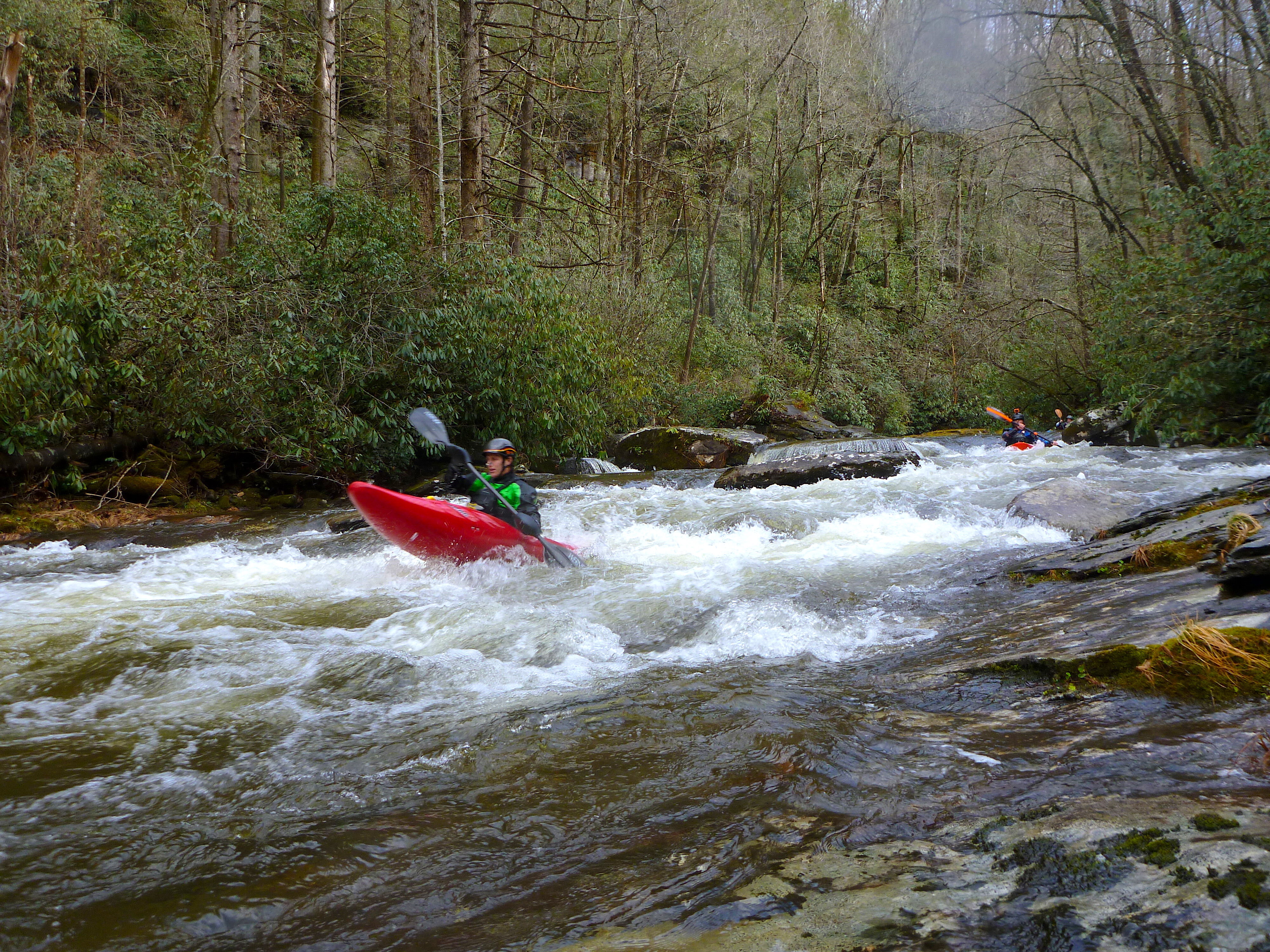
Today Nick I., Ryan I., and myself decided to check out the Top Davidson, Upper Upper, or whatever the section above the normal put in should be called. Our only beta was that there was a clean 20 something foot cascade up in those hills. Long story short the beta did not disappoint. Today the Davidson peaked at 3.2, and we read a level of 2.0 feet on the Top Davidson gauge, which is by the bridge a few hundred feet from the trail head. Hiking upstream 1.5 hours yielded an excellent micro creek run, on par with the Big East of the Pigeon in quality but easier in every way and short, not counting the hike. The trail is pretty good till the end when it splits up a trib. Cross this trib and keep hiking upstream off trail. Scout well for wood on you're way up. We only had to portage twice, but there's plenty in play. Be aware of the wood in the cl.II rapid downstream of the bridge as well, you will not see it on you're hike up.
We put in just downstream of where the creek forks almost equally. With more water you could go up higher. The level we had today seemed like a good medium-low. Aside from some great bedrock drops there is one spot where an old diversion dam poses a problem. Currently this is runnable but very sketchy due to wood, and a big concrete cave in the dam. We all walked this one.
After running out on the upper we had the good fortune to meet some of the folks who helped groom this stream over the summer. Again, nice work fellas, it was effort well invested.
Charley B.