Fox
C) Kaukauna/1000 Islands: Hwy.55/Main Ave. to CTH.ZZ (1.5 miles)
January 1, 1900
| Reporter | Carla Miner |
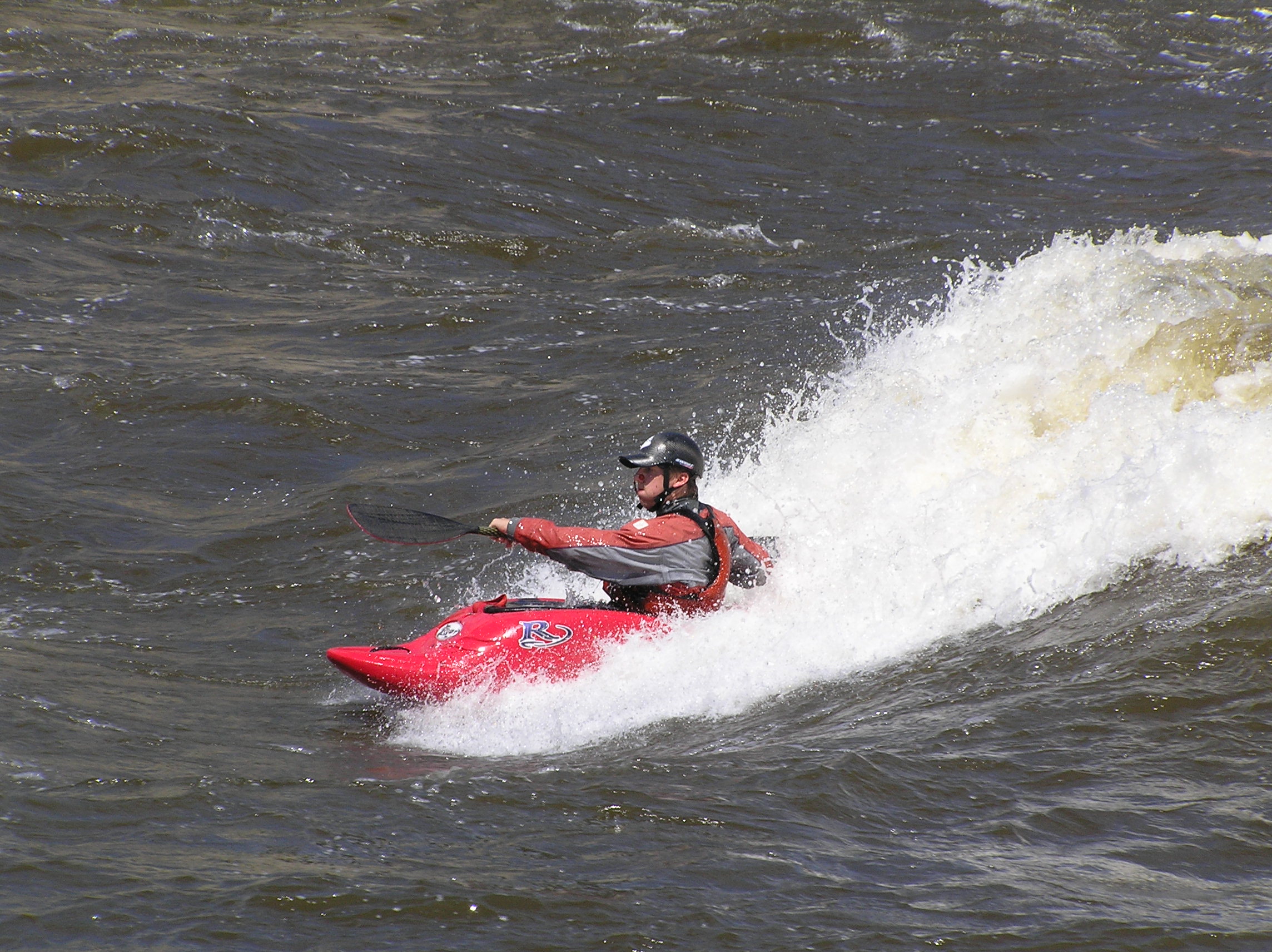
This photo shows a typical wave/hole in the left channel (around the island, described in 'Part II' of the description). This lies between the railroad bridge and the bridge on Elm Street over the left channel.
Looking down from the bridge onto Island Street Wave. In the background downstream lies the railroad bridge and the island which signals the beginning of the middle section (Part II) of this run, where you have to choose which side of the island you wish to run/play.
Looking downstream from Elm Street. This is the left-channel around the island (which is the right shoreline in the photo). The waves here can provide sweet, easy surfing. The more brightly-lit trees In the background (to the upper-left in the photo, in contrast to the darker, shadowed trees on the island), stand immediately downstream of the lower diagonal low-head dam which is mentioned in the description for this reach.
This photo shows the large eddy downstream river-left below Elm Street, and shows some of the waves which can form and provide easier surf opportunities. Immediately upstream of the trees (in the center-background of the photo) is the left side of the diagonal-sweeping low-head dam mentioned in the river description.
This is the wave/hole tight river-left immediately downstream of the Elm Street bridge over the left-channel around the island (as described in 'Part II' of the river description).