Cache La Poudre
05. Lower Narrows Campground to Steven's Gulch Access(The Narrows)
| Difficulty | IV-V+ |
| Length | 3 mi |
| Avg Gradient | 102 fpm |
| Gauge | Cache La Poudre at Canyon Mouth Near Fort Collins |
| Flow Rate as of 1 day | 252 cfsstale data |
| Reach Info Last Updated | April 27, 2025 |
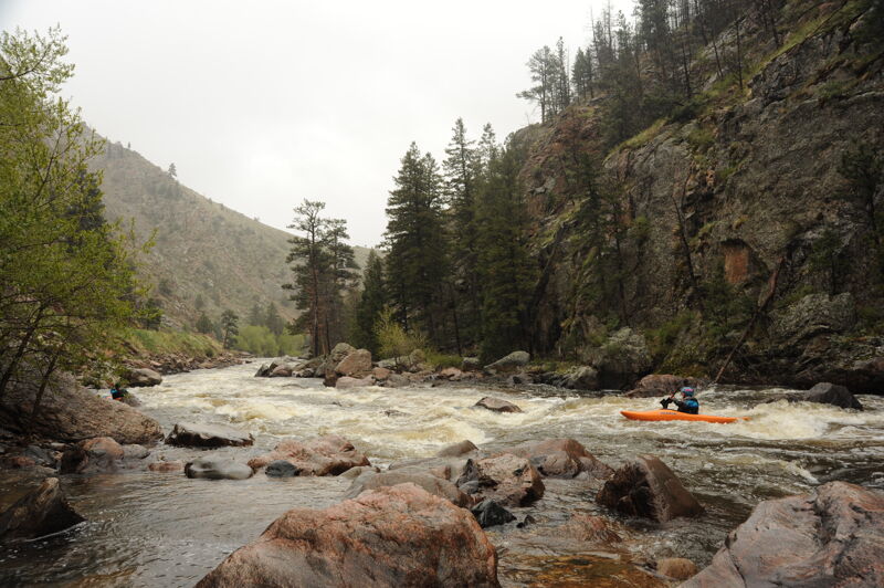
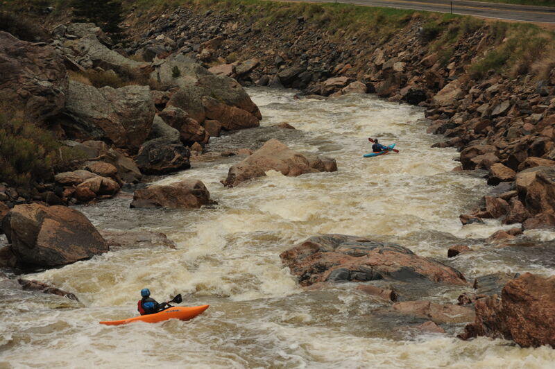
The Narrows of the Cache La Poudre can be broken down into three sections with different characteristics.
Upper Narrows
The 'Upper' section consists of three drops: Super Collider (V), Cabbage Shredder (IV), and Whiteline (V). These drops are back-to-back and easily scouted from the road; be careful because there really isn't much of a shoulder and lots of traffic travels along this road. Only a few years ago the Upper Narrows, particularly Whiteline Rapid, were considered deadly class VI rapids.
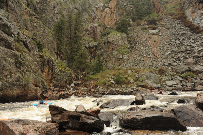
Middle Narrows
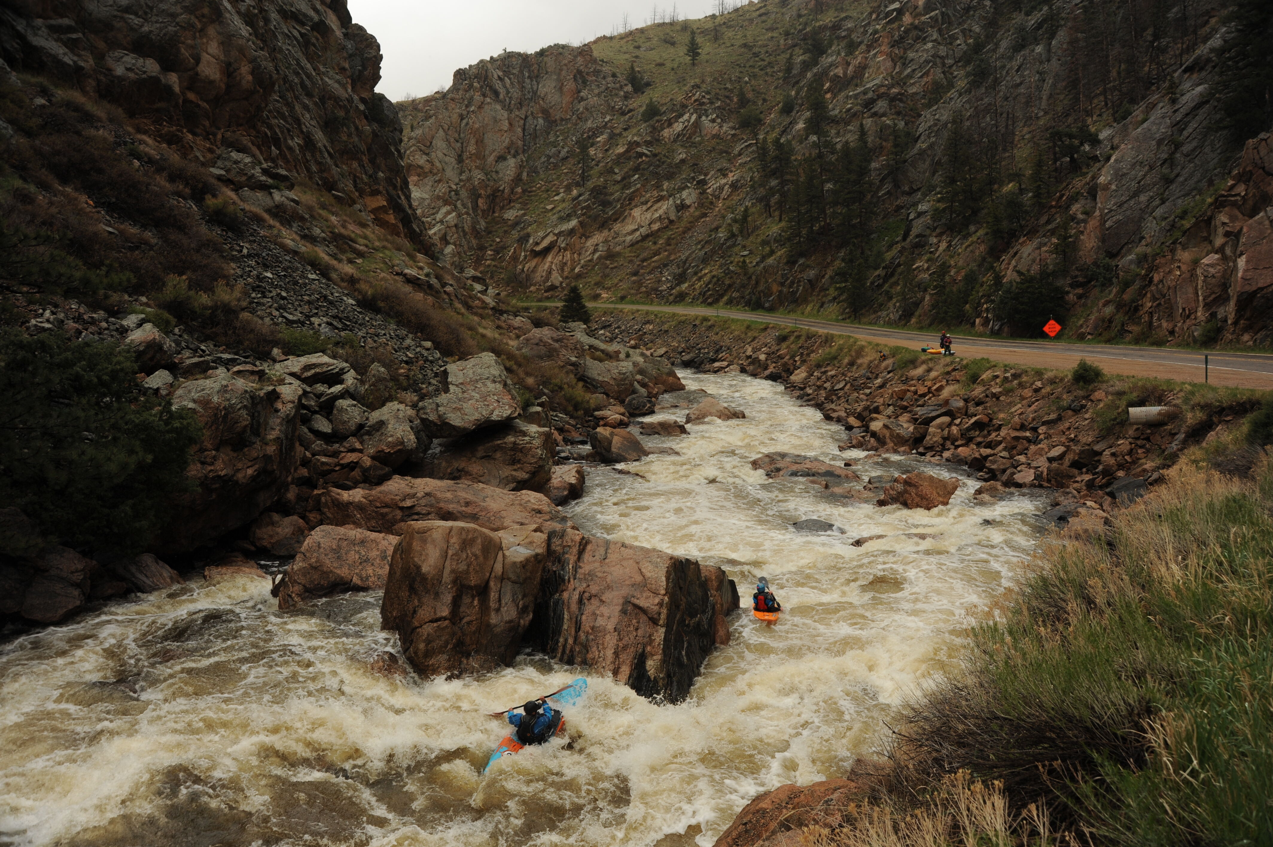
The 'Middle' section is good all-around class IV section of whitewater, and is great for those who want to add a little more class IV mileage to the Upper Mishawaka run; if this is your intention, don't forget to portage Lower Narrows! And watch out for Sports Car Corner, the first significant drop in the Middle Narrows. This is a manky drop with consequences for the upside-down boater.
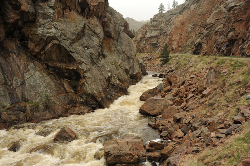
Lower Narrows
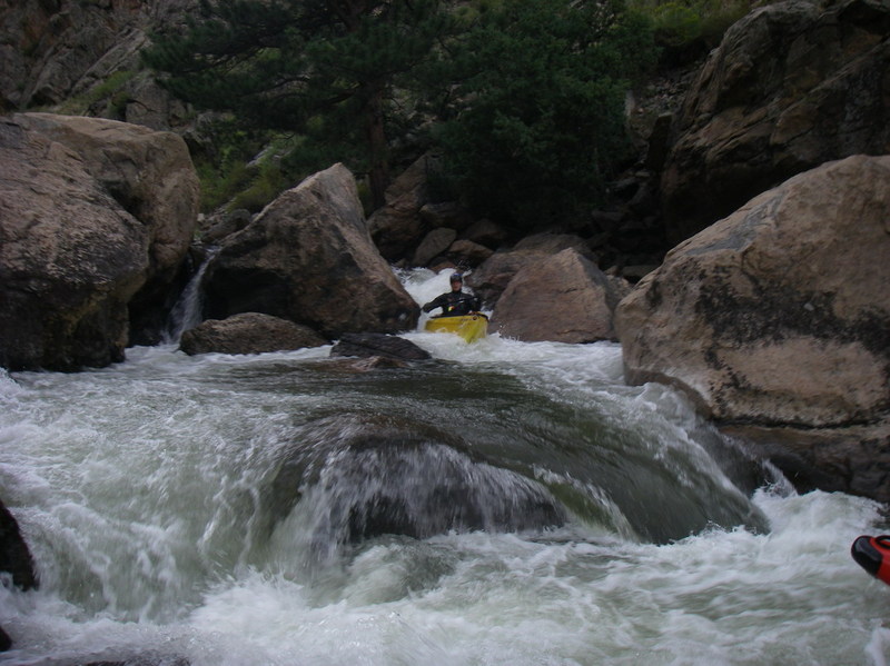
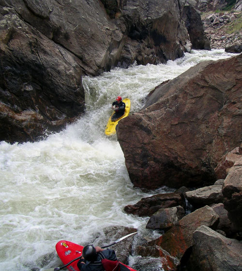
Just below the Highway 14 bridge is the Lower Narrows, which consists of one big burly 'classic' class V. This is a fantastic rapid with a bunch of neat moves, and eddies that all you to catch your breath at most levels, and a very aesthetic position alongside the road. A messy rock jumble at the bottom of this rapid gives you incentive to stay on line! For those who are running the Middle Narrows for the class IV experience, you can easily take-out on river left above the bridge and portage to the put-in of your liking on river right at the bottom of the Lower Narrows and continue on down to Steven's Gulch Access.
Appropriate levels for these sections vary tremendously. The entire section is commonly run at less than 1' on the Pineview gauge up to about 2'. Above 2' or 2.5', the Upper and Lower start getting burly, but the middle is excellent. Above about 3.5', the Upper and Lower are much less frequently run (they're moving into the V+ range at those levels), while the middle is pushy an
...Walk-in tent camgpround administered by Arapaho and Roosevelt National Forests that provides access to the river.
Access at a pull out along the highway.
Access at a narrow pull out on the highway on the side opposite the river just below Whiteline.
A long class V rapid with multiple moves just below the Highway 14 bridge. You can take out before the start of the rapid and portage it along the road.
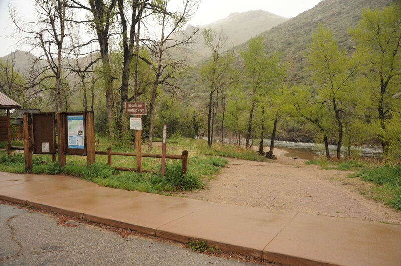
Stevens Gulch Access is a picnic area adminstered by the Arapaho and Roosevelt National Forests with seven picnic sites and a very nice improved launch area with changing rooms. This access is located at Poudre Canyon Highway mile 104.7.
EPITOMY OF BOOFING!
YES, ITS AN OPEN BOAT CANOE
NO DUMPING TIME FOR AN OPEN BOATER