Clove Brook
Colesville to Rte. 651
| Difficulty | IV-V |
| Length | 2 mi |
| Avg Gradient | 160 fpm |
| Reach Info Last Updated | April 3, 2009 |
One of the steeper runs in NJ, Clove Br. is a tributary of Papakating Cr. It drops around 240' in about 1.5 miles, with 60' of it occurring right after the creek goes under Rt. 23 for the first time.
As far as I know, the first descents were by Adam Hubbard in the late 80's or early 90's and I seem to remember him telling me that he did it in a 15' Grumman canoe. I would rate it a IV+ to V depending on water level.
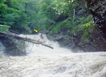
This run is nearly all ledges, ranging from a few inches up to about 20'. Many of these create some very symmetrical river-wide holes at certain levels. The highlight of the run is the big slide (about 20') into a giant punchbowl, followed by a 6-8' drop (just downstream of Rt. 23). With extra water, it has very few eddies in some sections, it's very fast with lots of ledges and it tends to pick up wood. A few years ago (1998) it was clear because some local boaters worked hard to keep it that way during the summer. I haven't been back there since 2000, so stay alert.
Link to gauge on Papakating Cr. at Pelletown
Recent Precipitation (past 24 hours) from the MARFC
Middle Atlantic River Forcast Center's Q uantitative P recipitation F orcast. (The next 24hrs)
Middle Atlantic River Forcast Center's Q uantitative P recipitation F orcast.(The following 24 hrs)
Jan 3, 2012
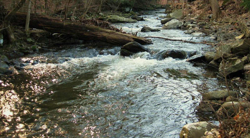
No more wood in upper section there is however, a tree about 5 ft off the water surface that you can get under. Then just downstream of that there is another tree blocking the whole river, sits about 5 inches above the river surface at 6in below the footing water level. There is also one more just before the last big drop right after the Rt. 23 bridge; can be avoided if you run river center then cut over to river right to complete the drop. I plan on getting up there in the spring to cut it all out. Even with this wood the river can still be run with little to no problems.
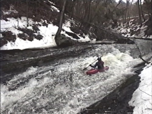
This video of me on 12/28/11 Shows all Major drops; Water level 6 inches below footing on first bridge http://www.youtube.com/watch?v=u9cjRCUTL2U
Sep 29, 2010
credits page
Apr 2, 2009
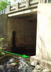
Located along Gorge Rd. just below the rt.23 bridge.
May 9, 2005
This is the upstream side of the river right bridge abutment of the Rt. 23 bridge (just upstream of Dewitt Rd.). If the water is within 3' of the footing (or above) you're good to go.
Jan 1, 1900
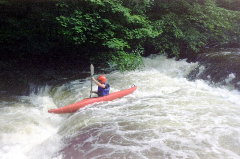
If you live in NJ, you don't have to travel forever to get to some creekin'.
Check out the full-sized version of this picture by clicking here.
Jan 1, 1900
This is the slide that leads up to the lip of the big drop. If you want a minute to think, you have to catch the eddy on river right
You have about 8 seconds to set up for this drop after you go down the big slide.
Here is a guide map which shows the main land marks for Clove Brook in Sussex, NJ
Jan 1, 1900
Adam Hubbard claims first descent of this creek in the late 80's? Who am I to argue?

