Saco - East Branch
Route 302 at Lower Bartlett
| Difficulty | IV-V |
| Length | 2.1 mi |
| Avg Gradient | 119 fpm |
| Gauge | Saco River at River Street, at Bartlett, Nh |
| Flow Rate as of 55 minutes | 2.72 ftbelow recommended |
| Reach Info Last Updated | November 5, 2018 |
The East Branch of the Saco is a II-V stream emptying into the Saco north of North Conway. There are four distinct sections of the river.
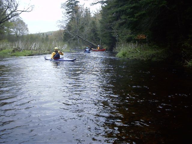
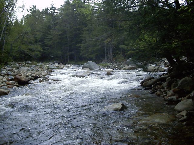
The uppermost section is a shortish mostly flatwater run starting all the way into the woods at the trailhead. It's an easy put-in close to the trailhead with a lazy current. Wildlife is abundant. The run ends with two short class III rapids before coming to a bridge where the road crosses over the river.
Warning: As of 3-Nov-2018 the Upper and Middle Sections of this river is full of strainers requiring constant vigilance and frequent portaging. They start roughly 1-mile downstream of the put-in bridge, and continue all the way to the town hall bridge put-in for the lower. The Lower at this time was mostly clear.
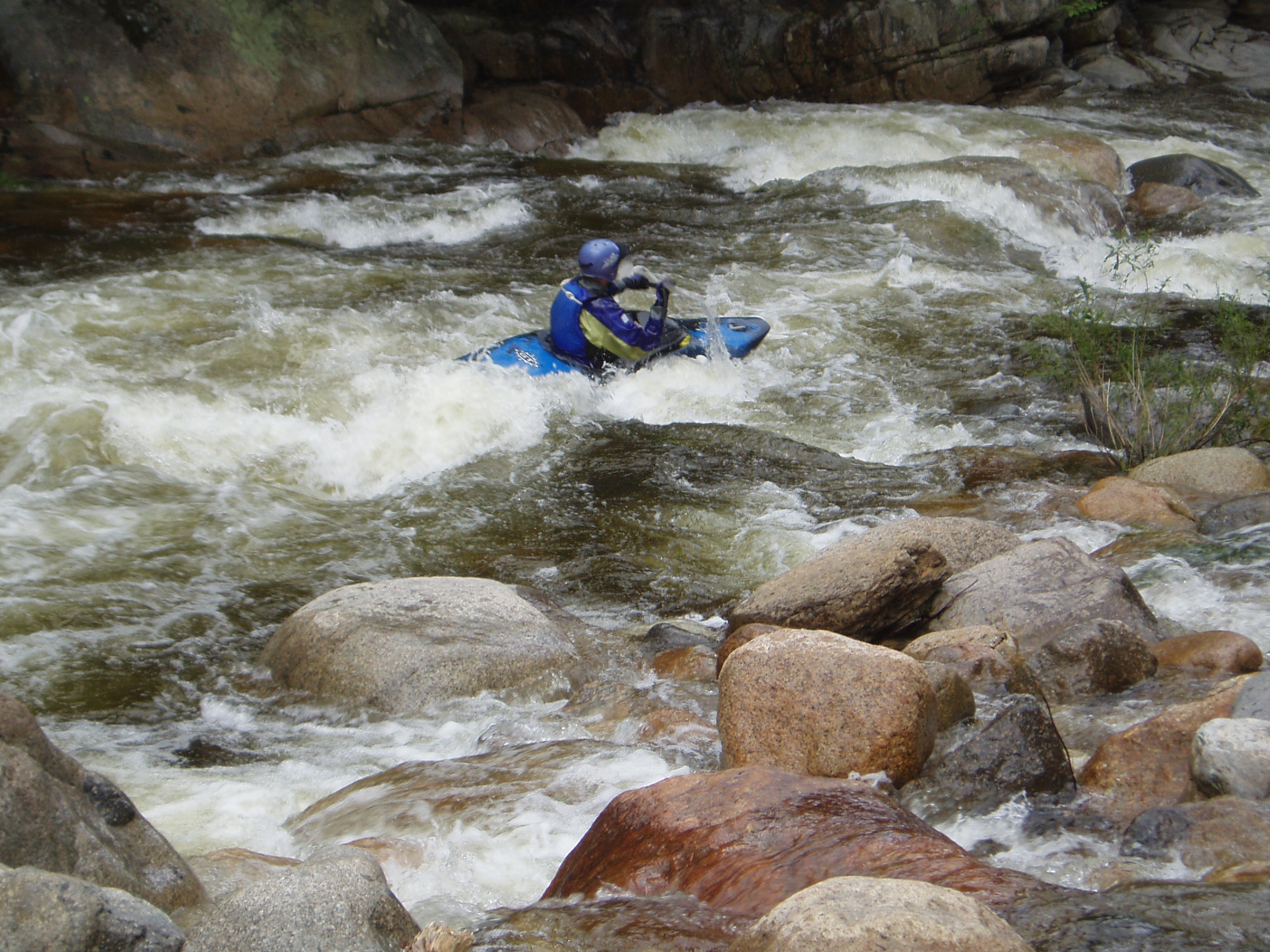
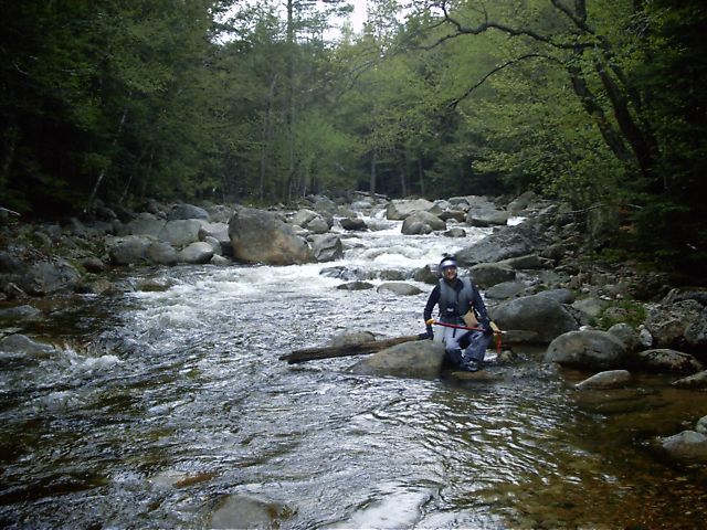
The most challenging section begins at the bottom of the class II section where the national forest road crosses over the river. This section starts with a runnable small dam followed by a couple class III drops. It then switches to continuous class IV punctuated by many class V drops. The river gradient of this section averages an astounding 273 feet per mile. As a fortunate safety feature the National Forest East Branch trail follows along river left for the majority of the run. The trail provides an easy take-out should one be necessary. Approximately one-half mile before the bottom of this section the trail turns left into the woods, crosses over to Slippery Brook (the main tributary of the East Branch Saco river), follows Slippery Brook along river right for a quarter mile, then crosses the brook to reach the trailhead and parking area for the Class IV put-in. To take-out at the bottom of this section, pull off on river left immediately above where Slippery Brook joins the main channel coming in from the left. Then drag/carry your bo
...
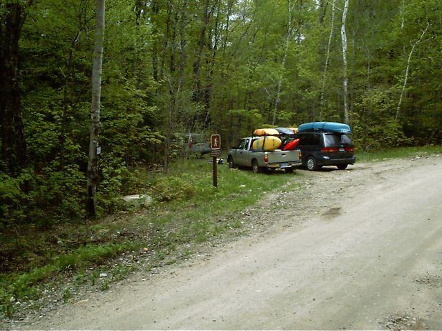
The class II put in is located at the far end of the National Forest Road (coord 44 11.397, -71 07.795). From Route 302, turn onto Town Hall Road. Follow it up all the way into and past the National Forest Gate (3.35 miles), turn left 2.5 miles furthur on. You'll immediately pass over Slippery Brook (the main tributary of the river). Continue on another 3.35 miles (9.2 total), passing over the river, then to the end of the road and trailhead. The put-in is a short walk down the trail.
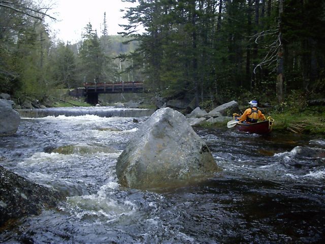
The class II section is a lazy stream, decending only 26 feet over a two-and-a-quarter mile length, the majority of the decent in the last quarter mile where there are two class III rapids. Make sure you take out where the river passes under the national forest road, otherwise you'll end up being quickly swept into class IV and V rapids.
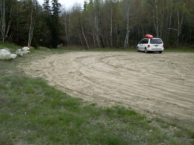
The Class V Putin/Class II takeout is where the road passes over the river (coord 44 10.631, -71 07.093). From Rt 302/16, drive up Town Hall Road 5.85 miles, turn left towards the Class II put-in, immediately cross over Slippery Brook, then drive another two miles to where the river crosses under the road. There is parking past the bridge.
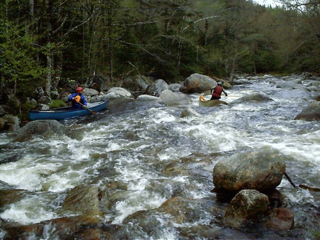
The Class V section is two miles of continuous class IV rapids joined by numerous class V drops. The national forest East Branch Trail follows along river left for the first mile-and-a-half.
The (Upper) Class IV putin is at the trailhead of the East Branch Trail (coord 44 09.282, -71 06.404). Travel past the National Forest gate 1.65 miles and put in on Slippery Brook. The brook (which is class IV here) joins the main channel 0.2 miles downstream. (Slippery Book follows along the main road several miles upstream.)
Slippery Brook has a few class III/IV drops before joining the main channel. (The boatability of the brook furthur upstream has not been verified.)
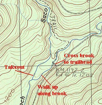
Take out on river left at the confluence just upstream where Slippery Brook joins the main channel (coord 44 09.176, -71 06.661) , walk upstream between the two channels 0.2 miles to the East Branch Trail, cross the brook to the trailhead and road.
Once the two channels join the gradient softens a bit and there is more water (coord 44 09.166, -71 06.646).
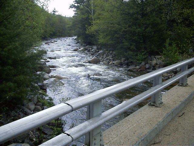
The lower put in is on Town Hall Road, two miles from Route 302 where the road crosses over the river (coord 44 07.300, -71 07.800). There is parking for a few cars on the far (river left) side of the bridge.
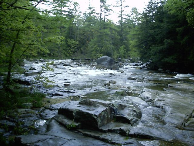
This rapid is readily visible from the road. The inside channel is narrow, steep, and sometimes full of trees. The outer channel is a bit wider and easier.
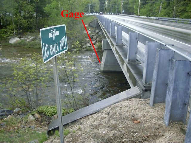
The gage is located on the downstream left side of the center bridge abutment (44 06.008, -71 09.141). There is limited parking here; a better place to park and take-out is by the town offices and police station (a short distance upstream along Town Hall Road, coord 44 06.137, -71 08.831).
Sep 25, 2021
A clean run today, strainer free on the Lower Section. I observed an elusive back deck combat roll where the cable car traverses the river. Great day.
Saco gauge read 6.4 missed checking the paddlers gauge.
Jul 15, 2020
Paddled the lower Class IV at 3.5 on the gauge and 1.0 on the Rt. 16 paddlers gauge. A quick ride so close to North Conway. Below where river moves away from Town Hall road, there is one not so easy to see at this level strainer. The rest was all clear.