India Brook
Upstream to Mountainside Rd.
| Difficulty | III-V |
| Length | 1.1 mi |
| Avg Gradient | 120 fpm |
| Reach Info Last Updated | October 10, 2008 |
Here's one that most people in NJ haven't even heard about.
It runs maybe four or five times a year, so you have to watch for this one, and be ready to call in sick if it's up. It's short but steep.
Watch out for strainers!! Bob Hughes and I once removed (with much effort) a large cherry tree from the pool below the falls. Right now (Oct.2004) there are trees in play on the right side of the island, just below the old bridge abutments and about 50yds up from the take-out.
The run from just above the falls to the bridge is about 1 mile and the gradient is around 120 fpm for the run, with the first half a lot steeper than the second half.
With barely enough water in it to scrape down it (as on the day I first ran it) it would probably qualify as a class III-IV run. But, with more water, it would definitely begin to get into the class V range.
Put-in -
There is a small (2 to 3 car) trailhead parking spot where Mountainside Rd. (the name on the topo map is Mountain Rd.) crosses the brook. There is a nice wooden sign identifying the park, and a small info board.
It is my understanding that a good trail map of this park is available from the Mendham Parks and Rec. Dept.
-When I've run it, and every time I've looked at it, I've parked here and hiked up the trail, but there is another road which crosses India Bk. about 1.75 miles upstream of the bridge, near Coleman's Hollow. It might be possible to paddle from there if there was enough rain.
When hiking, it's easier to follow the trail up and away from the creek, (It will come back down to river level) but then you can't scout.
Take out - When you get back to your car at Mountainside Rd.
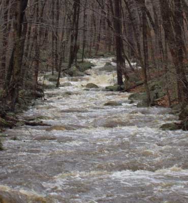
Nov 28, 2004
The water was dropping fast, but it was still worth the hike in.
This is the same view as 'Is that a creek up there?' but with more water. This is looking upstream from the head of the island.
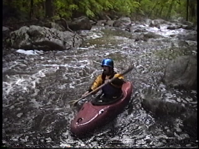
May 8, 1999
It's a tiny little thing, but it has a little gradient to it.
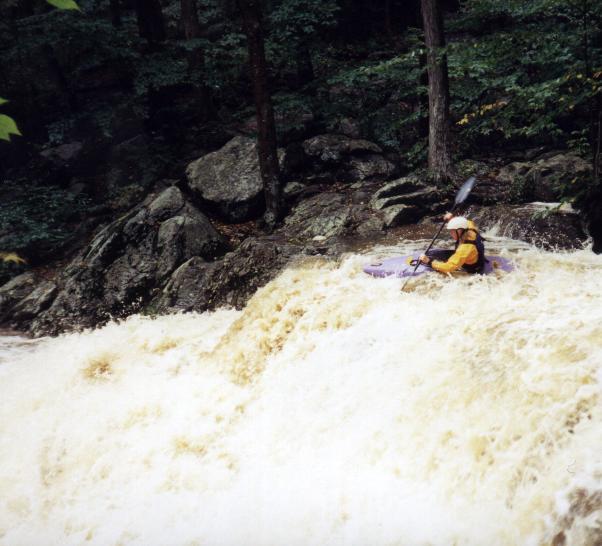
If you can catch this above 1.5' it will be exciting.
Most of this brook is too narrow for a Dancer to do an eddy turn.
There's some good native trout fishing in the pool below this drop.Just watch out for flying kayaks if the water's up.
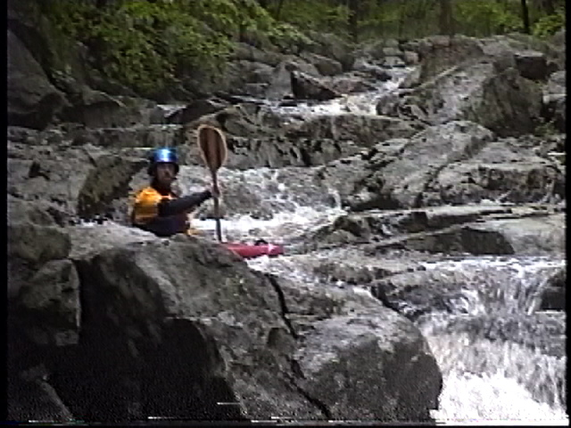
May 8, 1999
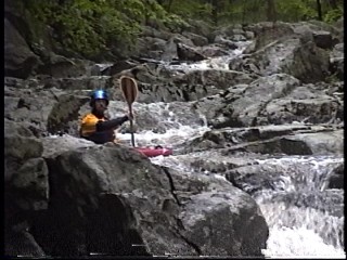
It doesn't get much bonier than this.
For the full-sized version of this picture, click here.
Jan 1, 1900
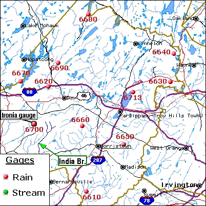
This map shows the location of the Ironia Rain gauge next to the India Brook drainage.
This is just preliminary, I will be adding to it to make it more useful.
This shows everything as of Nov. 2004
This is the beginning of the series of drops which blend together and are the crux of this run.
Jan 1, 1900
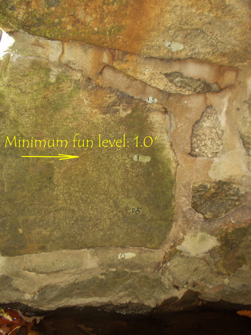
This gauge is under the take-out bridge on the downstream side of the river right bridge abutment. It was painted there by Bob Hughes. (I don't know why he used grey paint.)
Jan 1, 1900
Good combo with the Black - Lamington. Do India Brook 1st.Thanks to the Strange Bros. for posting many if not all the rivers in NJ.