Pemigewasset
4) Woodstock–Campton
| Difficulty | I |
| Length | 11.4 mi |
| Avg Gradient | 7 fpm |
| Gauge | Pemigewasset River at Woodstock, Nh |
| Flow Rate as of 1 hour | 116 cfsbelow recommended |
| Reach Info Last Updated | May 2, 2018 |
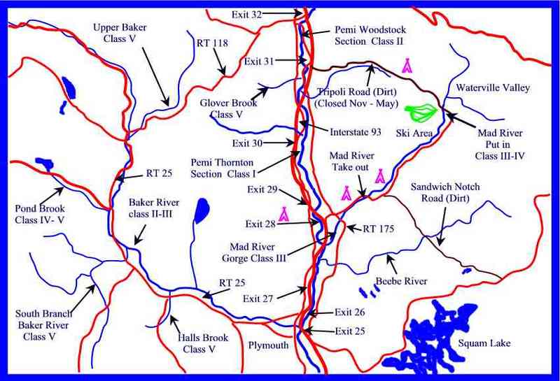
This is a nice easy run suitable for first time river runners, family, or just an easy day floating on a river. The put in is just below a class II+ ledge at the route 175 bridge. The river below is mostly quickwater with an occasional class I rip. There are a few sections that could prove to be more difficult when the river flow heads directly into a bank and takes a sharp turn amoungst boulders. Also be carefull of newly fallen trees in the channel about 1/2 mile below the Thornton town bridge at 'Robin's Nest'.
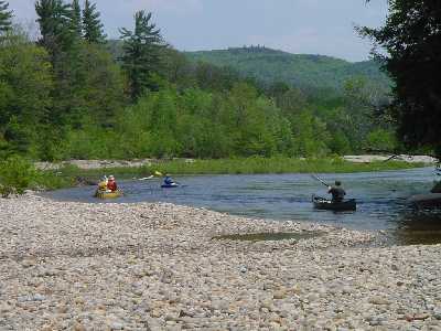
The river itself is shallow and flows over a gravel bed with wide gravel and sand beaches in the summer. Interstate 93, route 3, and 175 cross over the river several times. Most of the river is very close to one of these roads but mostly out of site. You will see an occasional house or condo, two campgrounds, and a golf course along the way. At mile 9.5 there is a nice swimming hole with a rope swing in a deep pool at a sharp river bend. After this bend the river splits around an island either channel is runnable but the right one is more interesting.
Access can also be acquired at the halfway point in the town of Thornton. Look for 'Robin's Nest Road' on state Route 3 just north of the Thornton town hall. Putting in at this point the river is more sluggish than above.
Put in elevation........605'Take out elevation......535'Total drop..............70'Average drop/mile.......7'Distance................11.25 milesRiver width average.....70'River geology...........gravel river bed and banks, some ledgeRiver water quality.....Good, clarity good.Scenery.................Good, but highway can occasionaly be heard but are usually just out of sight. Golf courseWildlife................Deer, Moose, Bank swallows, merganzers.The following is a list of campgrounds more suited for tents and small campers, there are a variety of private campgrounds that cater es
...No trip reports yet.