Chetco
2) Craggie Creek to South Fork (Chetco Gorge)
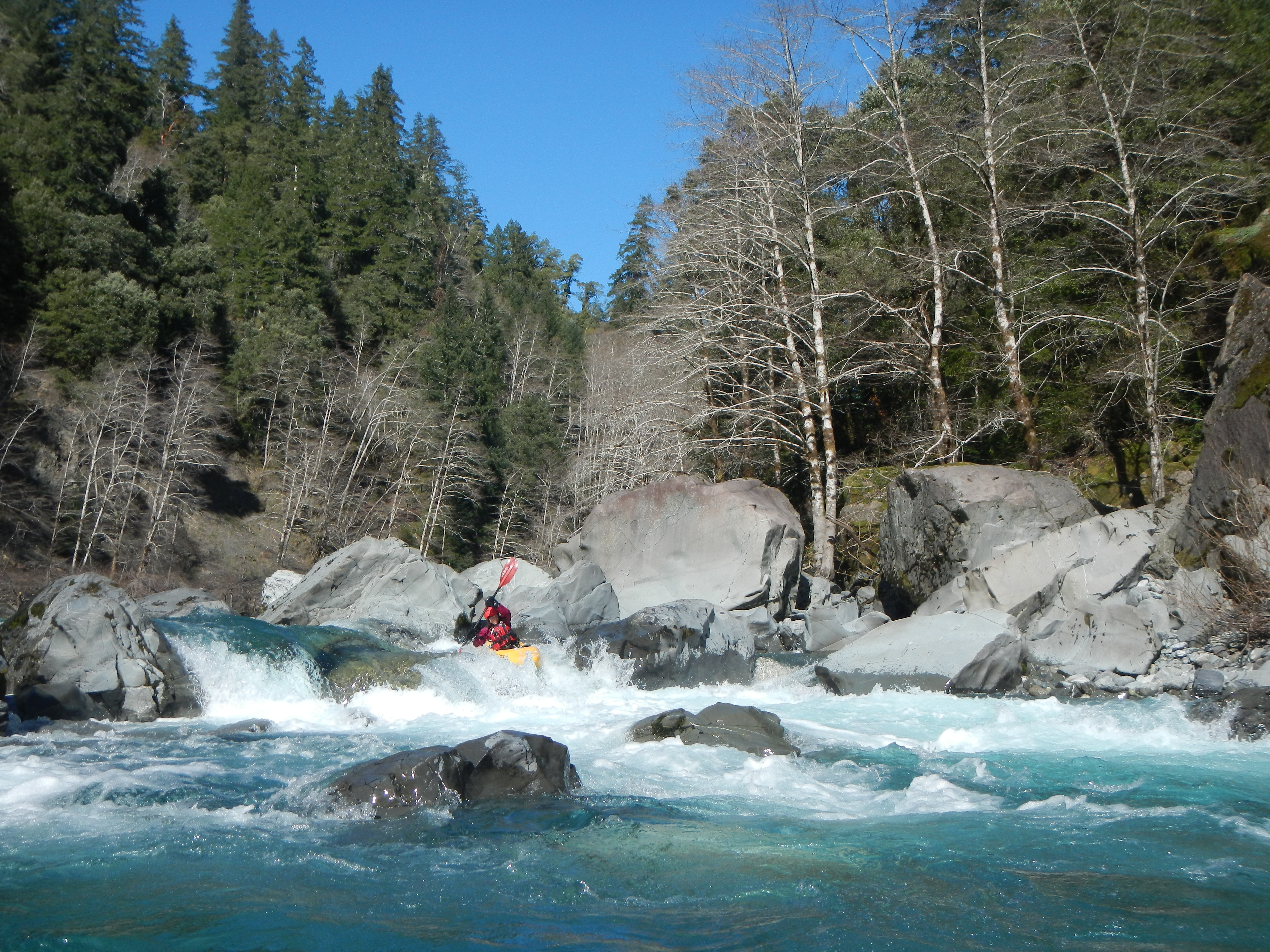
March 11, 2015
| Reporter | Thomas O'Keefe |
We ran this in early March towards the lower limit of flows (577cfs). It was still plenty of fun. We hiked down the FR 1917-067 spur to Tollman Ranch as we did not have a high clearance vehicle. It took about 45 minutes to walk down. The approximately dozen or so rapids that begin about 1/3 of the way into the run were all great read and run. After a stretch of flatwater and passing under the steel bridge we came to the gorge. There are basically two rapids in the gorge--Candy Cane and Conehead--and then it's over and you have the paddle out. We did not run either drop. Candy Cane was very congested with narrow chutes and water flowing under boulders. Conehead had several rocks sticking up along the right that would have been tricky to navigate at low flow. The spur road described as the take-out in Soggy Sneakers had a massive washout. It would have been possible to hike out (although I expect the road will further deteriorate) but we elected to just paddle another 15 minutes down to the South Fork confluence where you can drive right to the river and have easy access.