Molalla, Table Rock Fork
Lost Creek to Molalla River
| Difficulty | III+(IV) |
| Length | 9.1 mi |
| Avg Gradient | 110 fpm |
| Gauge | Molalla River Near Canby, or |
| Flow Rate as of 38 minutes | 91 cfsbelow recommended |
| Reach Info Last Updated | June 4, 2019 |
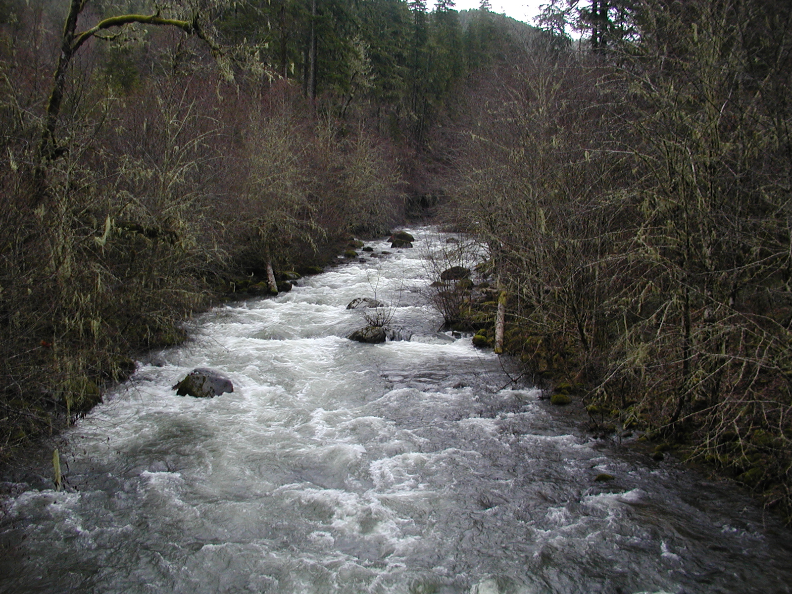
The most commonly run stretch on this stream is sandwiched between two harder stretches. These short, but more difficult stretches can be added on to the beginning or end of the middle stretch.
Lost Creek to Quarry III(IV+): This stretch is similar to the rest of the run (continous class III) down to a bridge. This bridge is an alternate put in for this upper portion if flows are much below 4,000 cfs on the Molalla gauge. Below this bridge is some more class III before the quarry rapid. The quarry rapid can be seen from the road in the vicinity of the quarry on the drive up. This is a two part rapid, with a small lead in to a steeper ramp with a hydraulic at the bottom. Just downstream is a small boof with an eddy on the right just below from which the rest of the rapid can be scouted. This second part is bouldery, and paddles smoother than it may look from shore.
Below here it is a short ways to the next bridge, which has historically been the standard put in since the quarry rapid used to have wood in it (no longer an issue).
Quarry to Roadside Pullout III(IV): The action begins right away as class III rapids whisk boaters downstream. A short ways into the run a landslide from 2015 is visible on the left, which deposited a number of woody debris along the banks between here and The Pinch. The Pinch, about 100 yards below this slide, should be scouted on the left where a portage route is also available.
Below The Pinch, the stream continues along with numerous class III-III+ rapids spread along a continuous gradient. Keep an eye out for wood, though this run has historically been pretty wood free. In 2015 there was one recommended (but not mandatory) wood portage where the road was closest to the stream.
After lots of fun paddling, the stream crosses under a bridge, then another bridge not far downstream. The take out is a hundred yards below this second bridge on river right at the road
...