Green
05. Green River Town to Colorado Confluence(Labyrinth and Stillwater Canyons)
| Difficulty | I |
| Length | 121.2 mi |
| Avg Gradient | 2 fpm |
| Permit | Permits are required year-round for all overnight river trips and available by reservation with mid April to mid October launch dates made available the December prior and mid October to mid April launch dates made available the June prior. |
| Gauge | Green River at Green River, Ut |
| Flow Rate as of 32 minutes | 2340 cfsrunnable |
| Reach Info Last Updated | January 14, 2026 |
American Whitewater is working to protect the Green River—one of the West’s most iconic and ecologically significant rivers—from harmful water diversions and to ensure its long-term protection under the Wild and Scenic Rivers Act. Flowing from Wyoming’s high plains through Utah’s canyon country before joining the Colorado River, the [...]Read More
River Description
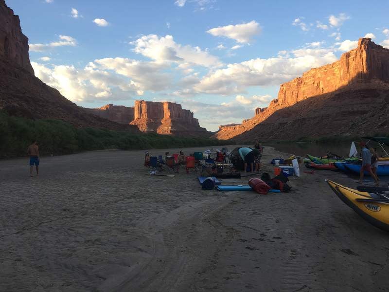
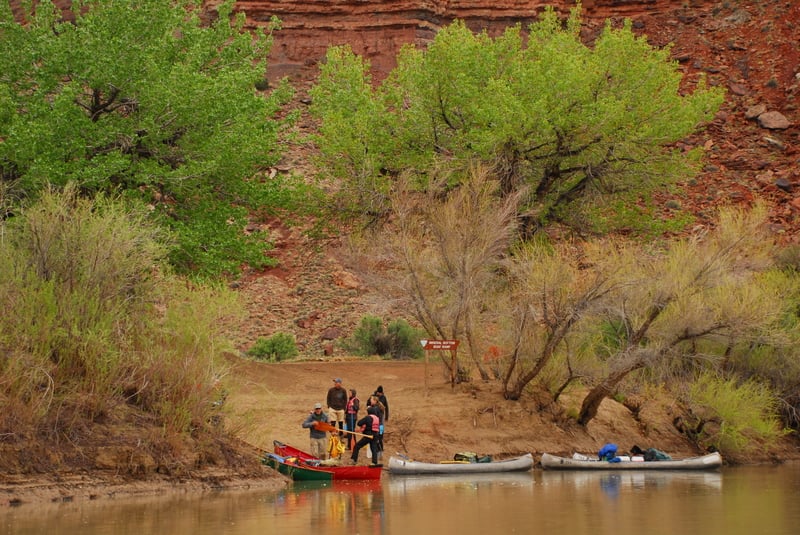
This run includes two sections, Labyrinth Canyon where the river predominately flows through BLM lands and Stillwater Canyon where the river flows through Canyonlands National Park. A rough road into Mineral Bottom provides intermediate access between these two segments. Groups can plan on covering 15 to 20 miles per day during high water or 10 to 15 miles per day during low water, depending on the amount of time spent hiking or how much you paddle. A trip through Labyrinth Canyon on the lower Green River can be enjoyed almost any time of the year, except in winter when there is ice on the river. The standard season is between Easter and Labor Day.
This is an easy flatwater run suitable for canoes, kayaks, and rafts of all types but the river runners must be prepared with backcountry skills as this is a wilderness trip. There are no designated campsites and during periods of high water, camps can be difficult to find, especially for large groups. During late summer and fall, sandbars are usually plentiful and make ideal camps.
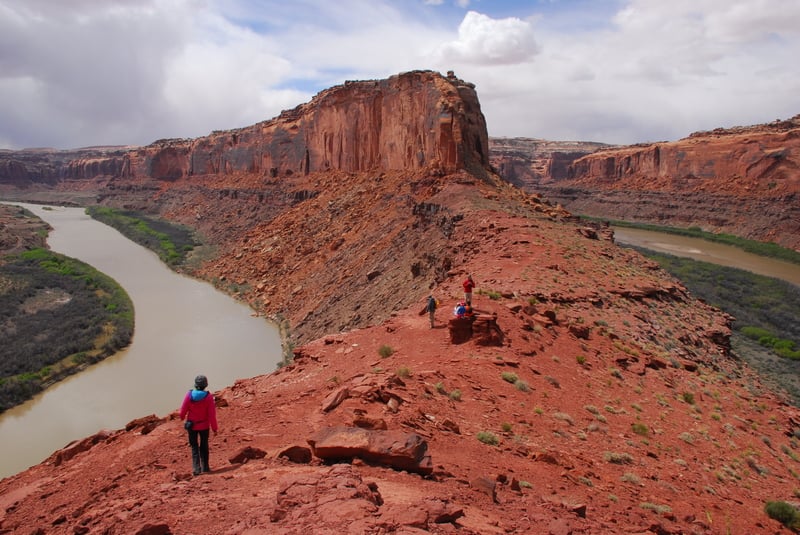
Labyrinth Canyon (68 miles, with 45 mile option)
Labyrinth Canyon was named by John Wesley Powell during his 1869 expedition for its meandering course. The canyon is a geologic wonderland with canyon walls composed of layered sandstone. The first 23 miles are mostly private lands followed by lands managed by U.S. Bureau of Land Management and the Utah State Division of Lands and Forestry. These two agencies have adopted one set of regulations for river recreation and have joint enforcement responsibility. The Price BLM Office is the official public contact point for Labyrinth Canyon information and the distributor for required permits. An unimproved road provides access at Mineral Bottom that can be used as a take-out for this run or you can continue on downstream through Stillwater Canyon.
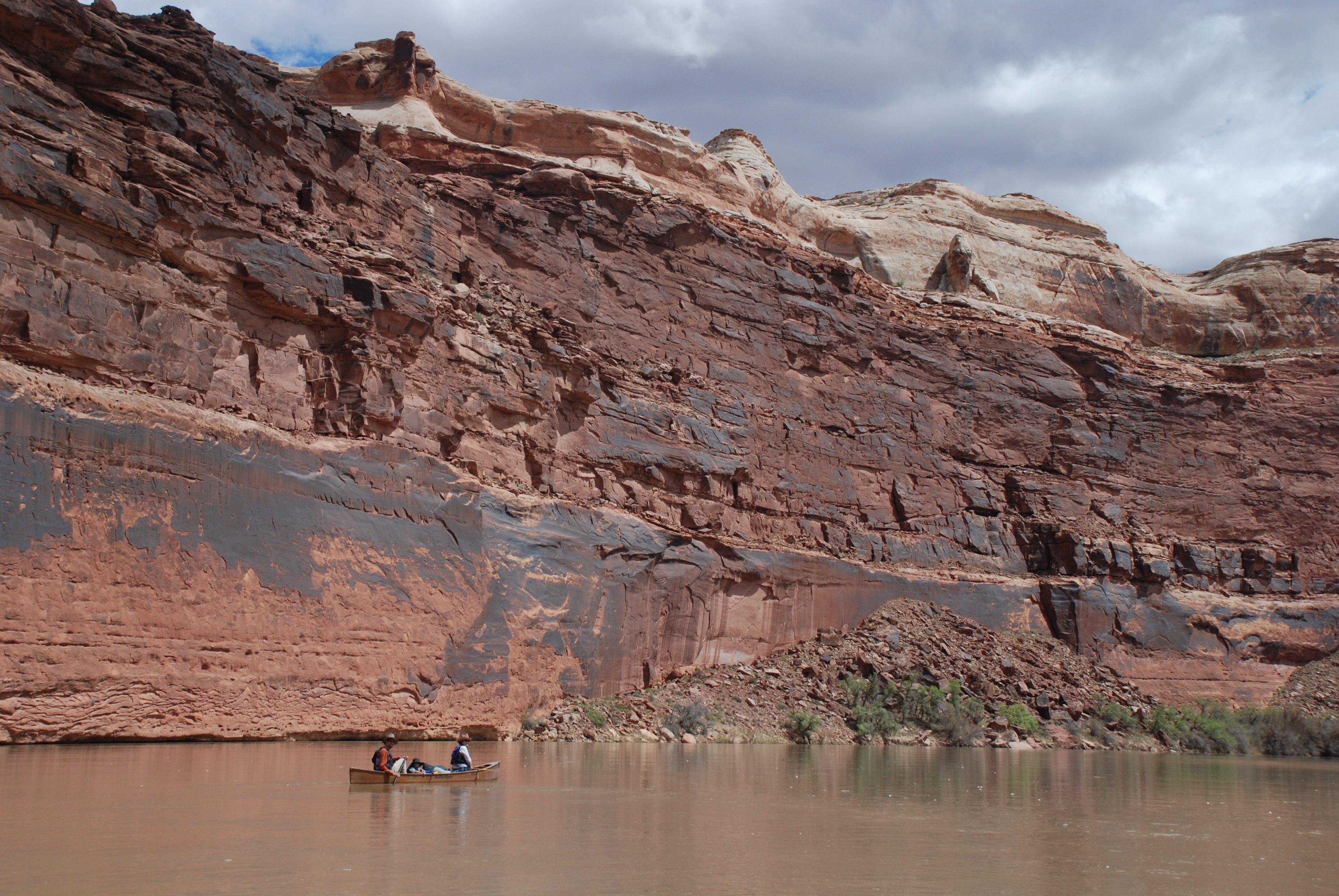
Stillwater Canyon (52 miles)
The trip through Stillwater Canyon takes you through
...
Access point serving as a take-out for Labyrinth Canyon and a put-in for Stillwater Canyon.
![Spanish Bottom, Take-Out [jet boat pick up]](https://images.americanwhitewater.org/photo/medium/nSDTSfQ649PE6ESj1KN0s.jpg)
Spanish Bottom is just downstrem of the confluence of the Green and Colorado Rivers on river right and is the standard pick up point for jet boat shuttles back upstream to Moab. This is also the start of the hike up to the Dollhouse.
Apr 14, 2013
Trip from Mineral Bottom through Canyonlands over spring break. We launched at noon on April 14th and arranged for a jet boat pick up at Spanish bottom the morning of April 19th for a 5 night trip down the Green River. The day before our pick up we arrived at Spanish Bottom at noon. This gave us time to select a camp and spend the afternoon hiking up to the Dollhouse.